|
|
| Placer Mining Claims For Sale | ||||||||||||||||||||||||||||||||||||||||||
|
|
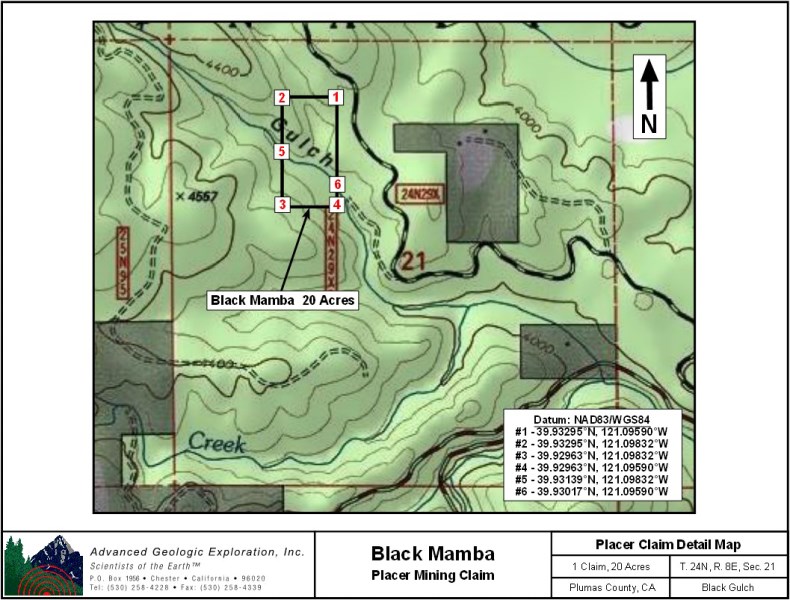
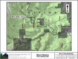
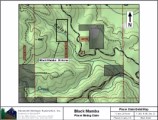
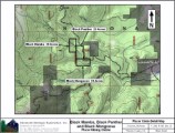
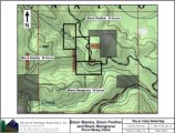
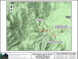
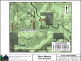
Black Mamba ±20 Acres $5,500 Combine With Black Panther & Black Mongoose: $12,500
Some of the amenities are:
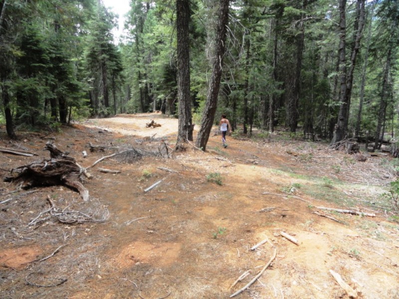
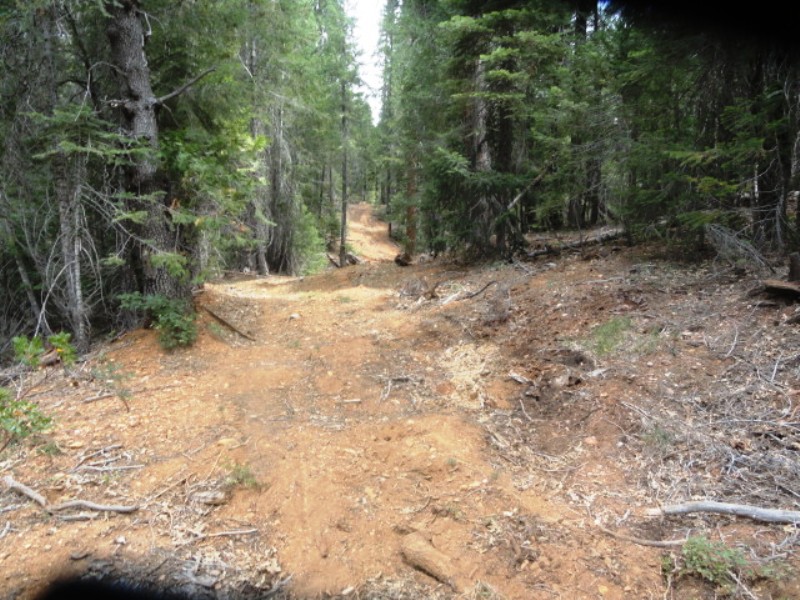
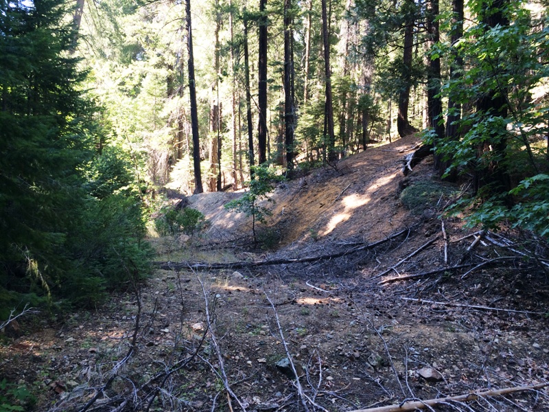
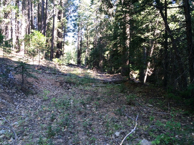
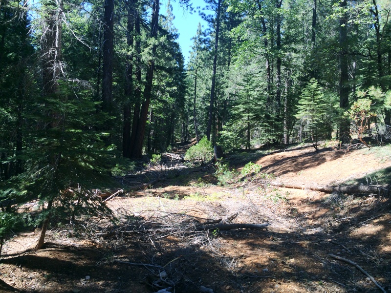
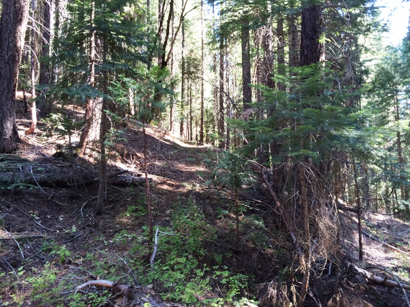
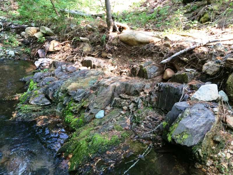
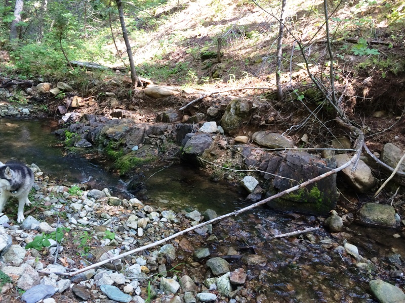
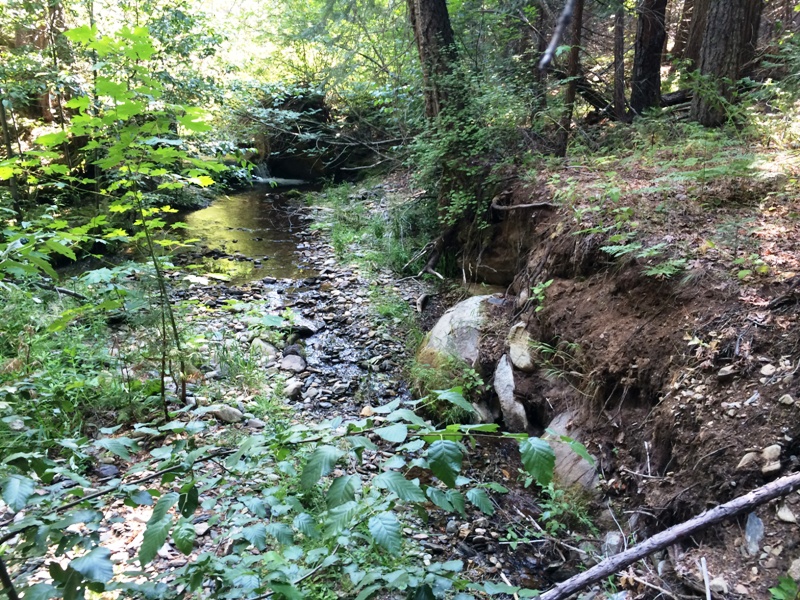
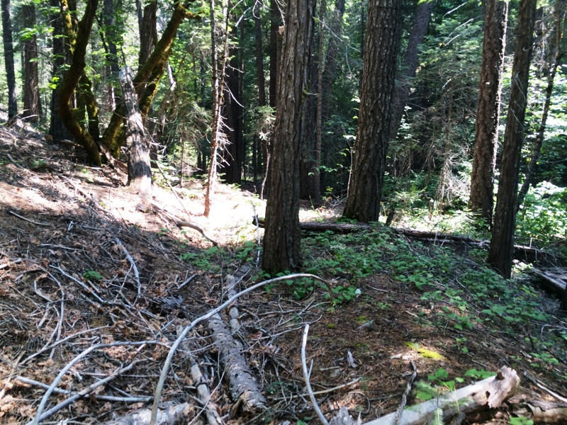
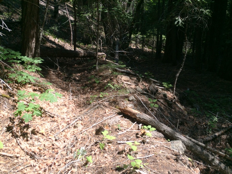
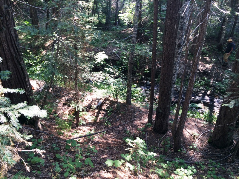
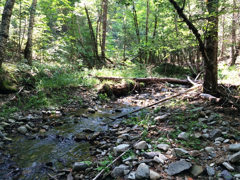
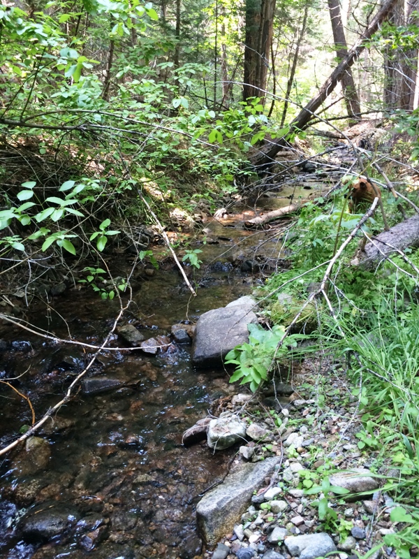
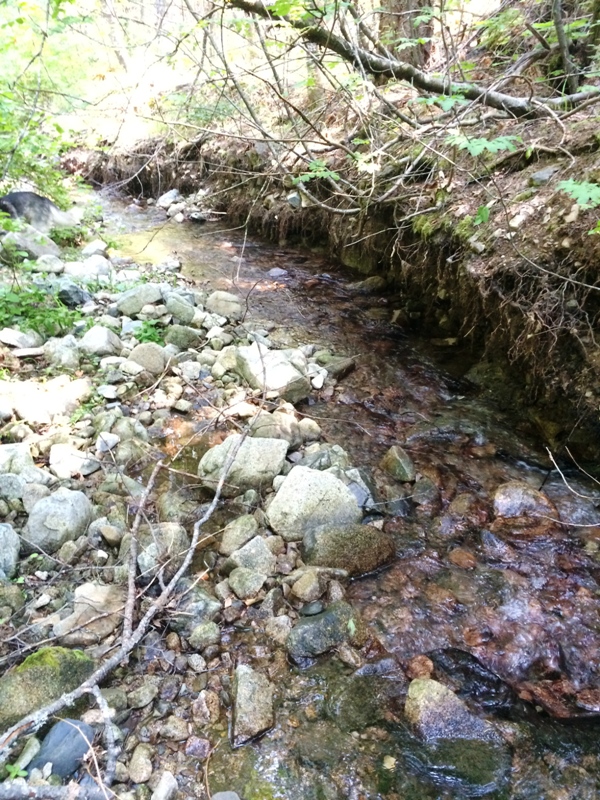
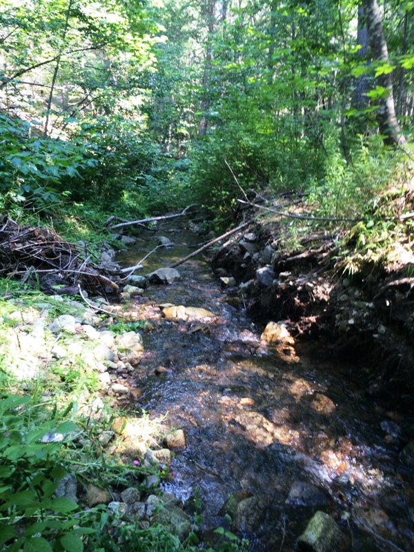
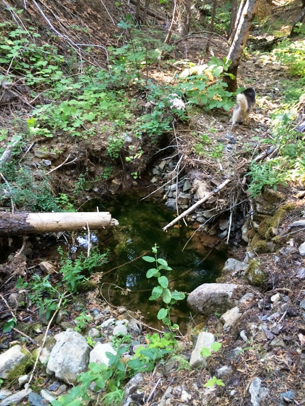
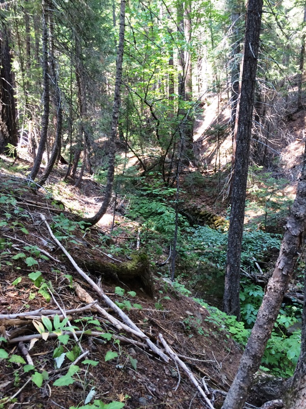
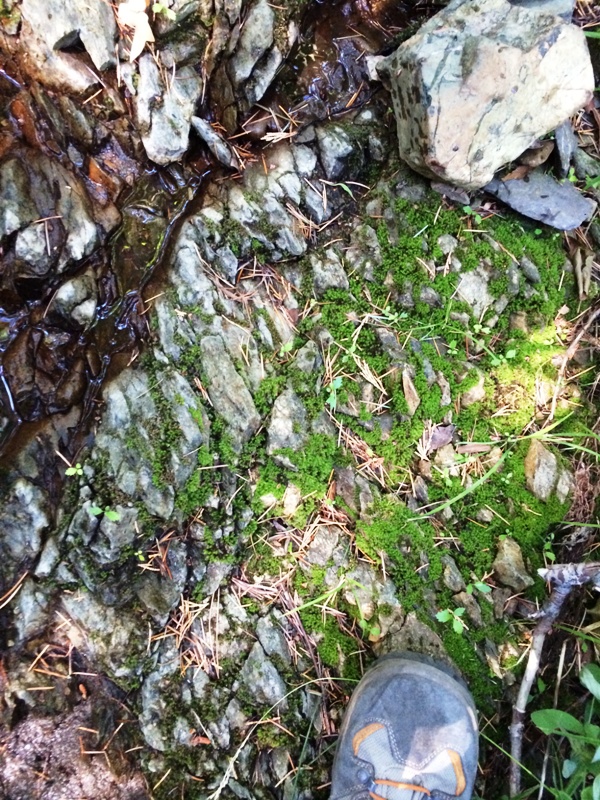
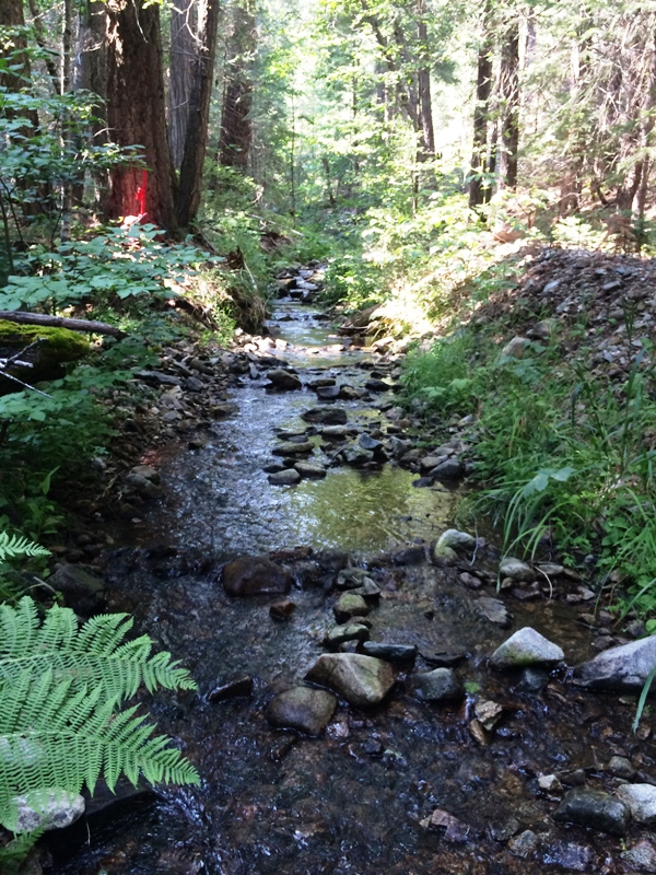
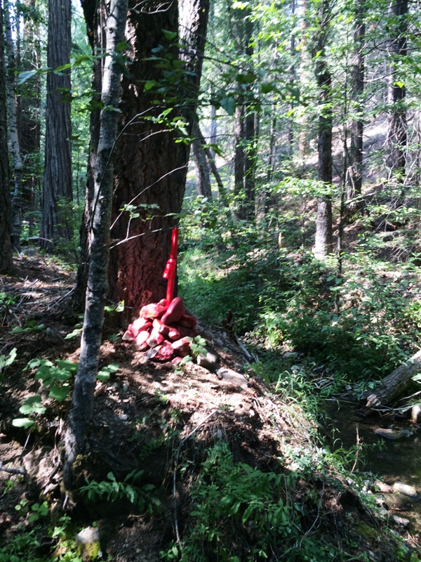
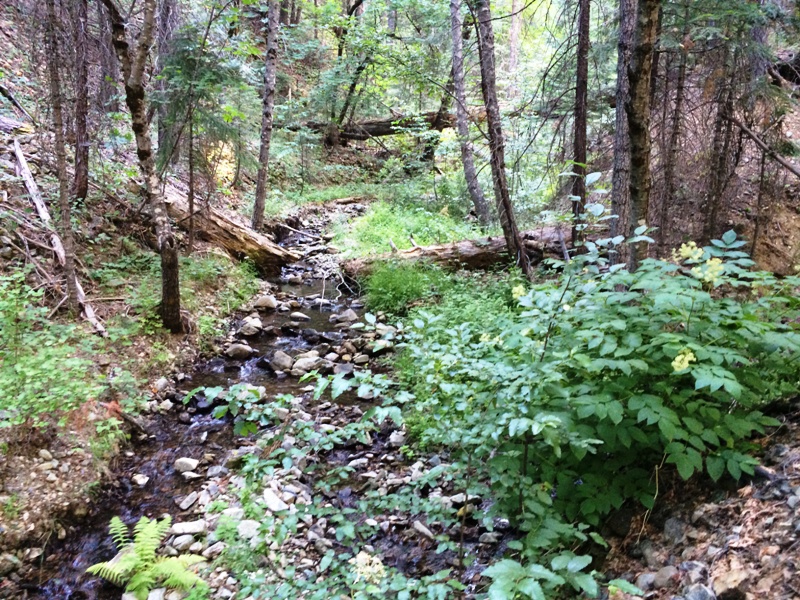
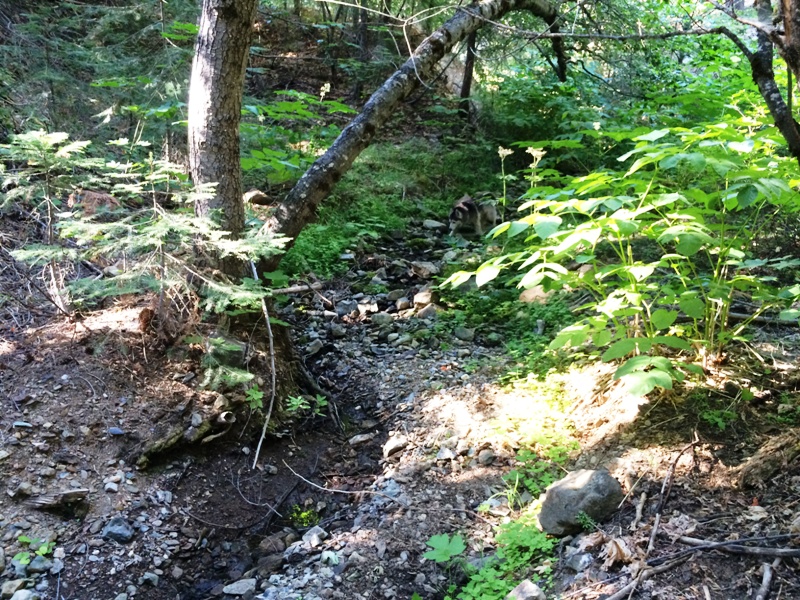
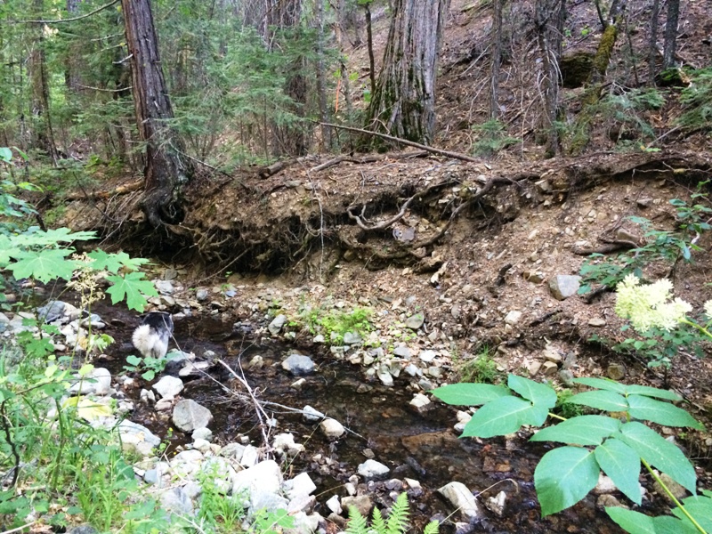
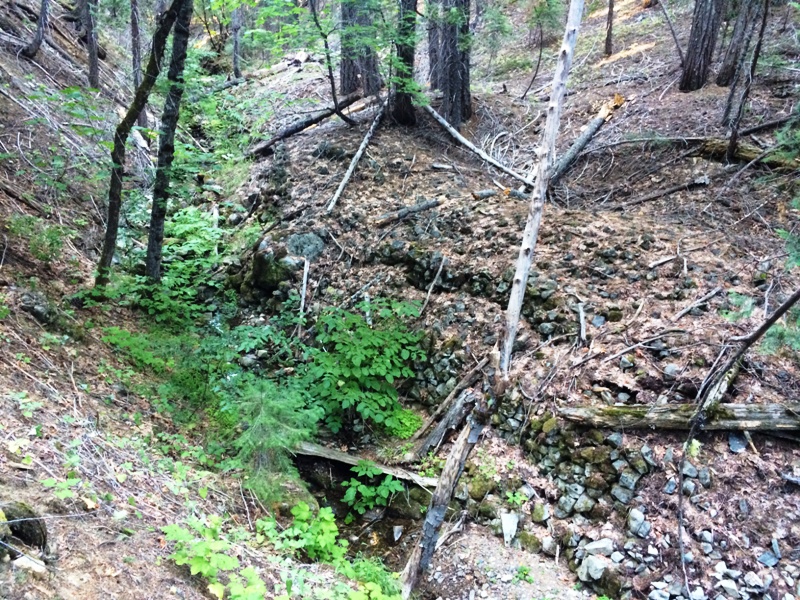
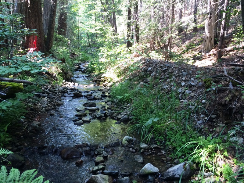
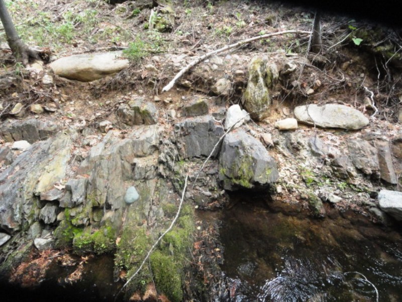
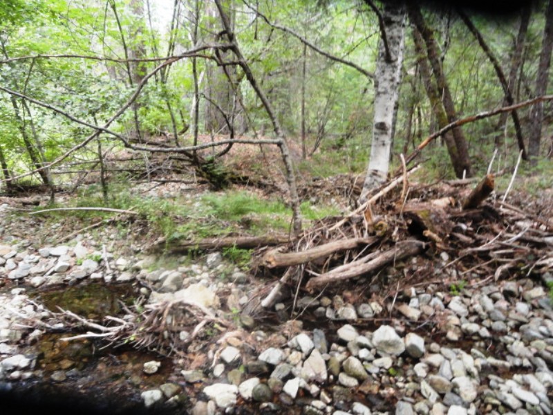
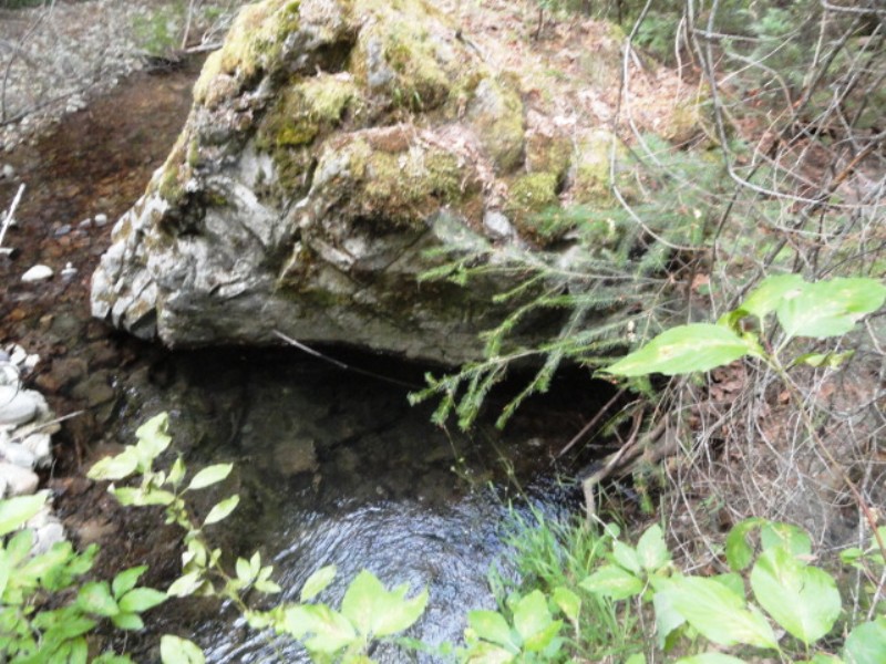
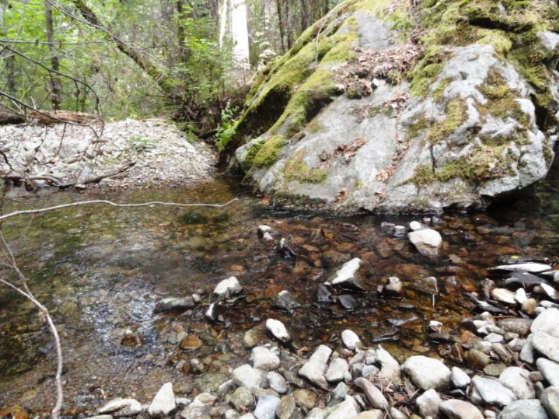
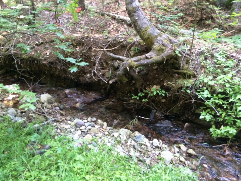
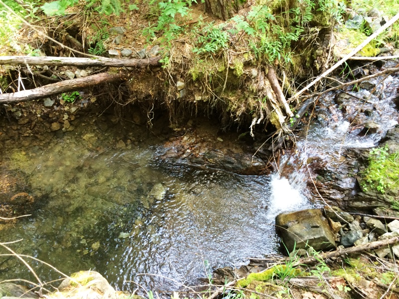
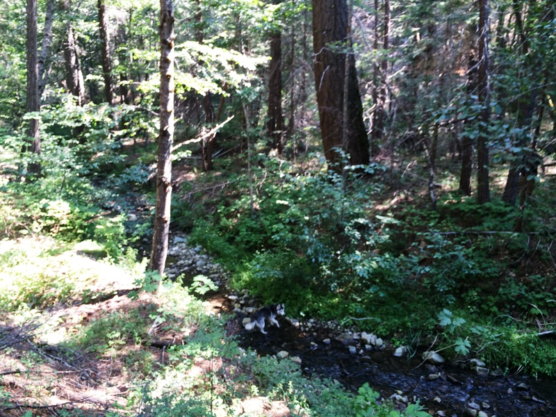
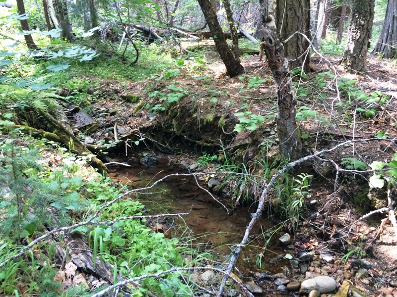
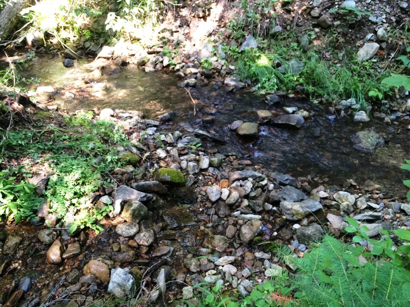
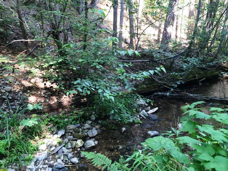
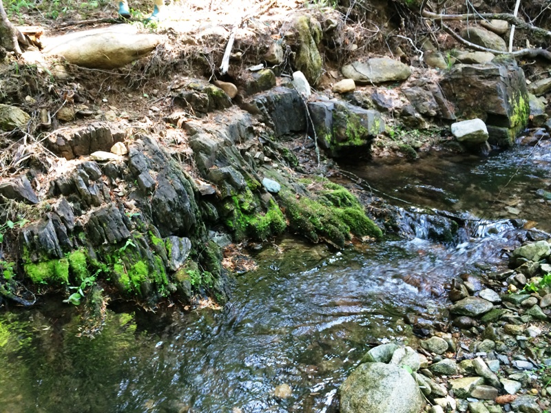
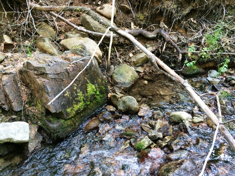
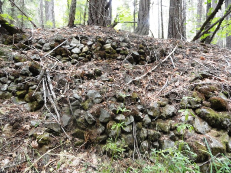
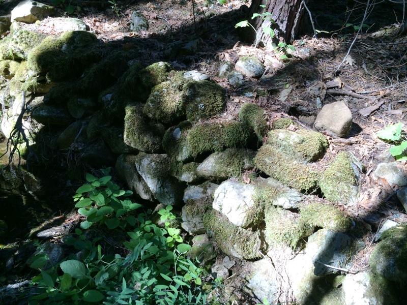
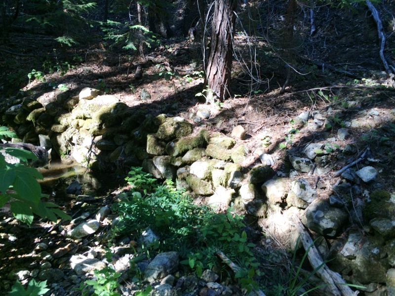
Black Gulch is a known gold-bearing drainage in the Meadow Valley Mining District. There are two branches to Black Creek, the main branch (or west arm) and a smaller north branch. The main branch has water all year, while the north branch becomes a trickle in the later summer months. The source of most of the gold is a Tertiary gravel deposit located on the east ridge to the north branch where the Silver Lake Road is located. Reconnaissance shows the Tertiary gravel deposit has been eroded from the ridges to the main branch, which is why very little gold is found up drainage on the main branch from the north branch junction. Therefore, the north branch is the target drainage for placer gold. The north branch has abundant tailings and rock walls that were built by the historic miners. No tailings or historic prospects are found in the main branch up drainage from the north branch junction. Previous miners have pumped water from the main branch across the low-lying peninsula to the north branch during the late summer months to maintain their mining efforts. The Black Mamba claim secures a long reach of the north branch, the junction of the main and north branches, and a small reach down from the junction. Gravels on bedrock can be seen in several locations along the creek. There is good gold to be had by mining into the banks at the bedrock-gravel contact. We have also recovered good gold in the rock walls adjacent to the creek and under the existing tailings piles. This claim is perfect for a highbanker or small suction dredge. Access to the creek is on a 4x4 two-track road from the Silver Lake Road. It extends down to a former waterline access road that has been reclaimed by the Forest Service. This makes for an excellent camping location that cannot be seen from the Silver Lake Road. It is a short hike down to the creek from there. You can see the round Tertiary gravels in the cut banks from this old road. The elevation is relatively low, roughly 4,000 ft msl, so the snow melts off early. Depending on the winter, you can begin mining on this claim in April or May. Therefore, it is an excellent claim to start early in the season, then move up in elevation to another claim as the snow melts and roads open. Miners and prospectors will have a life-time of opportunities before this claim is played out. Quincy is only a few miles away and provides good amenities, such as restaurants and accommodations. Quincy also has a modest nightlife, a movie theater, a Safeway and an Ace Hardware, as well as a series of motels and B&Bs. Sorry, no Wal-Mart. Quincy is also the county seat for the county, so you can easily file your paperwork on your way through to your claim. The National Forest Service District is also close and they are friendly and helpful. Click here Google Earth Fly To and see an aerial photo of the Black Mamba and the claim boundaries. Google map it for directions to claim. Estimated GPS Coordinates:
Standard Information The Black Mamba placer mining claim is a non-patented federal mining claim. You will need to file appropriate annual paperwork to hold the property every year. (Ask us about our Filing Service to assist you with that!) Annual property tax assessment is approximately $1.12 an acre. BLM Fees & Advanced Geologic Transfer Fees Upon payment, the mineral claim will be transferred via a notarized Quitclaim notice filed in your name with Plumas County and the BLM. Limited payment terms and conditions are available; information available on request. Advanced Geologic has an exceptional annual claim paperwork filing system that will maintain your annual filings for any claim in the United States. Advanced Geologic reminds you that you MUST file annual notices with both the county in which the claim is located AND with the Bureau of Land Management by the appropriate dates. There are NO exceptions and errors will lead to the loss of your claim! Are your claims filed correctly? Advanced Geologic is a professional geologic consulting firm located in Chester, California. We not only sell quality mining claims, but we also help people work their claims. Our experience in resource evaluations, compliance and permitting and claim portfolio management allows our clients and buyers to go for the GOLD. Interested? Send us an email or call.
|
|
||||||||||||||||||||||||||||||||||||||||
|
|
||||||||||||||||||||||||||||||||||||||||||
|
|