|
|
| Placer Mining Claims For Sale | ||||||||||||||||||||||||||||||||||||||||||||||||||||||
|
|
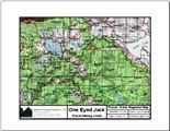
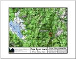
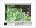
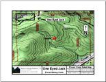
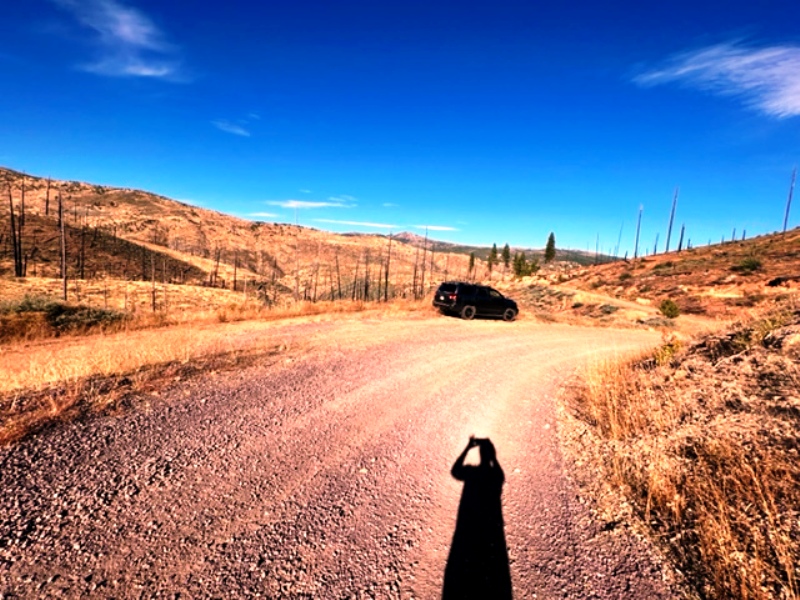
One Eyed Jack ±20 Acres Price: $16,500
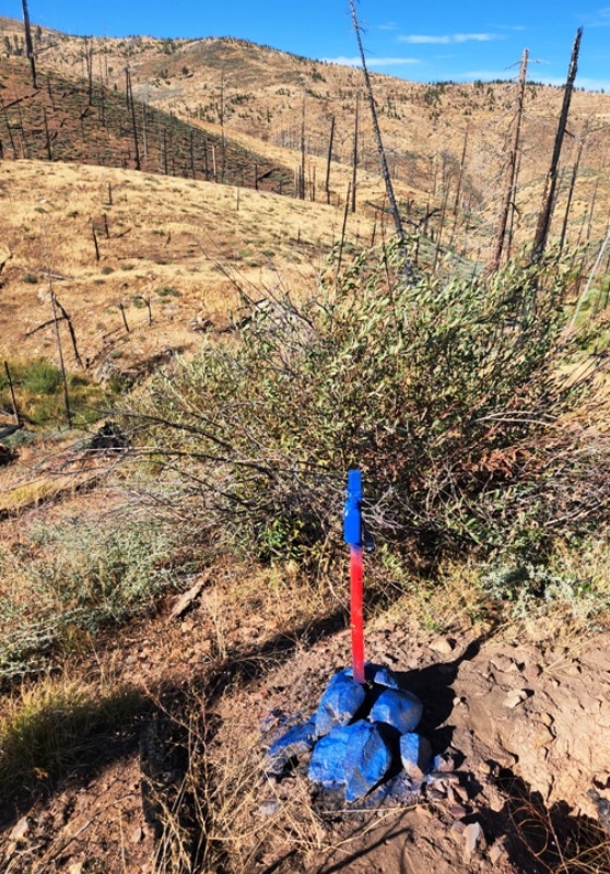
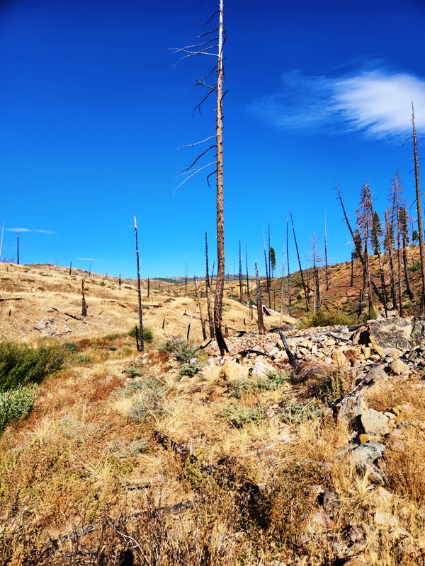
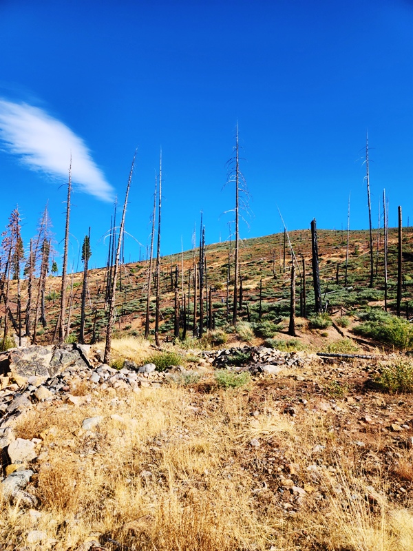
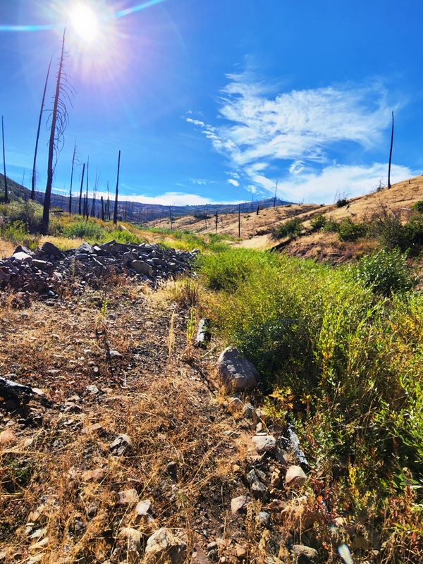
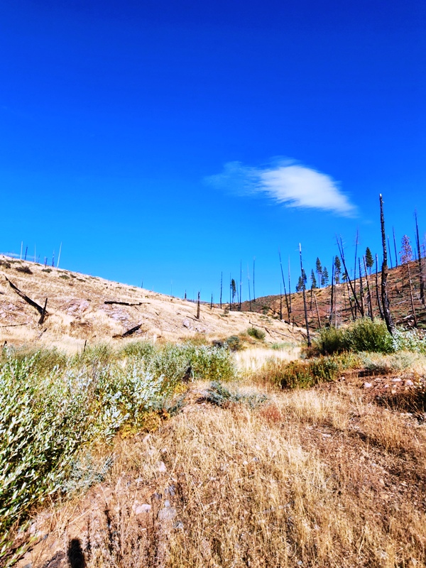
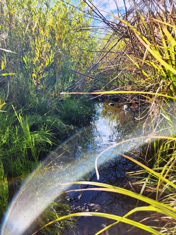
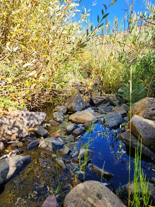
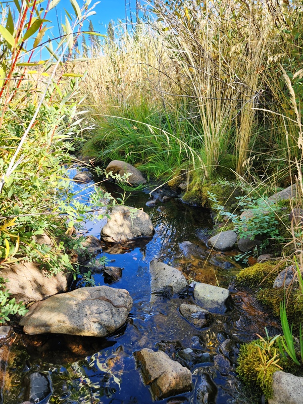
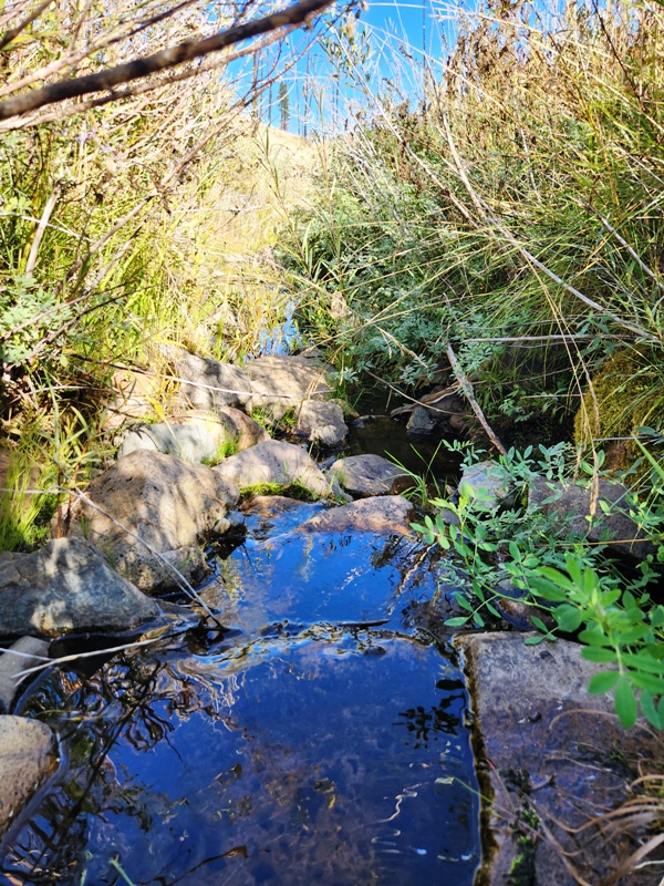
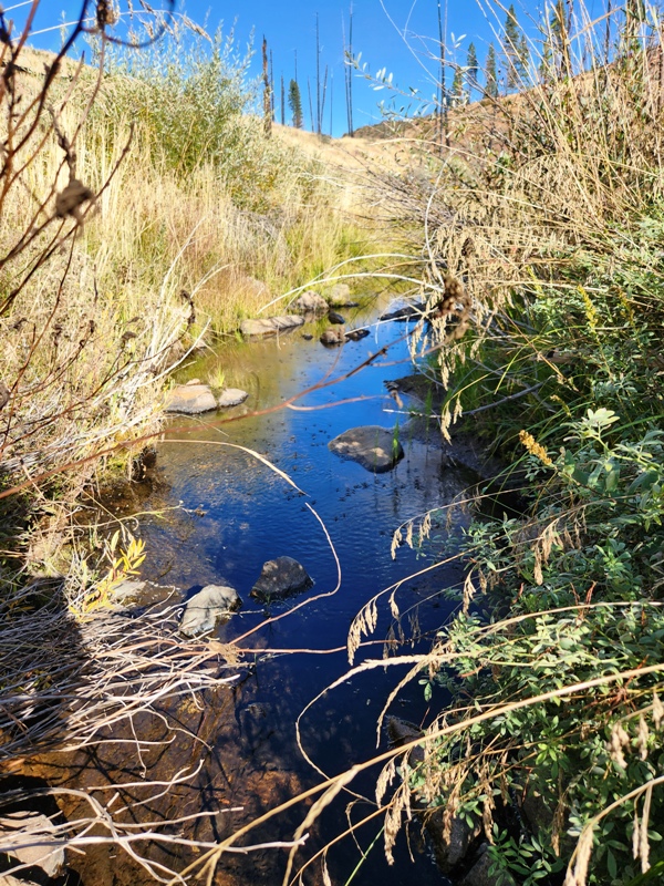
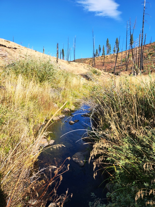
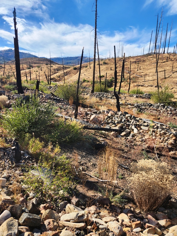
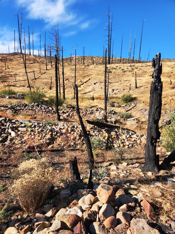
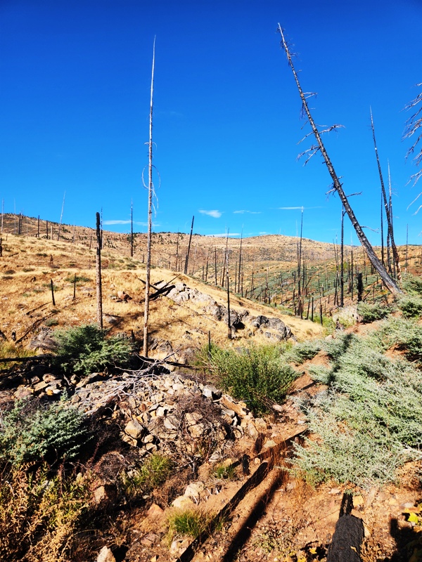
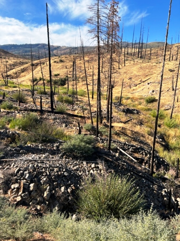
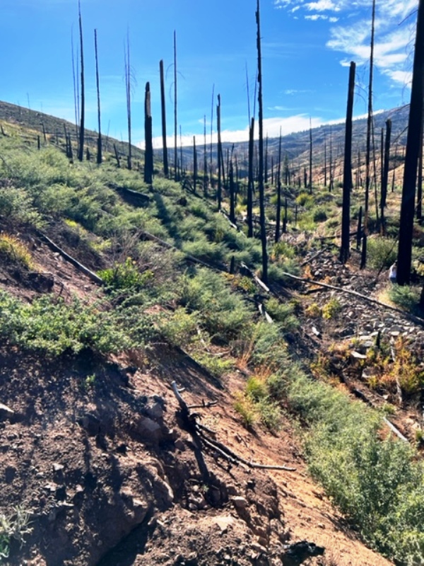
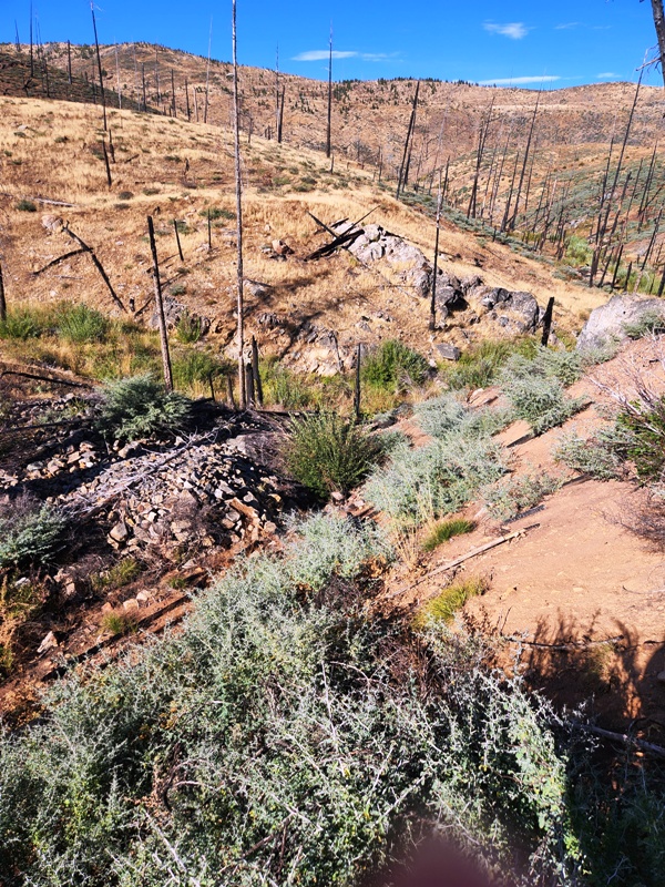
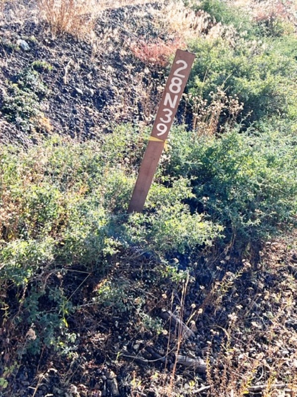
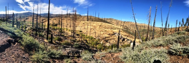
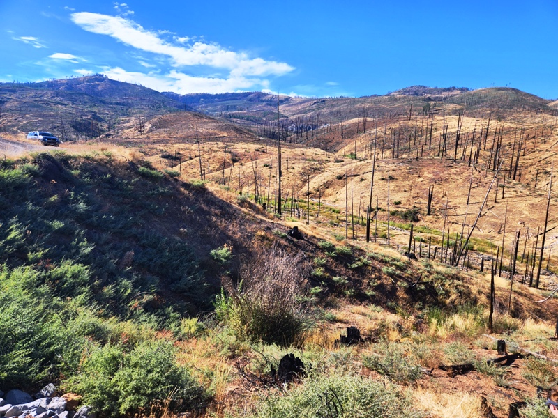
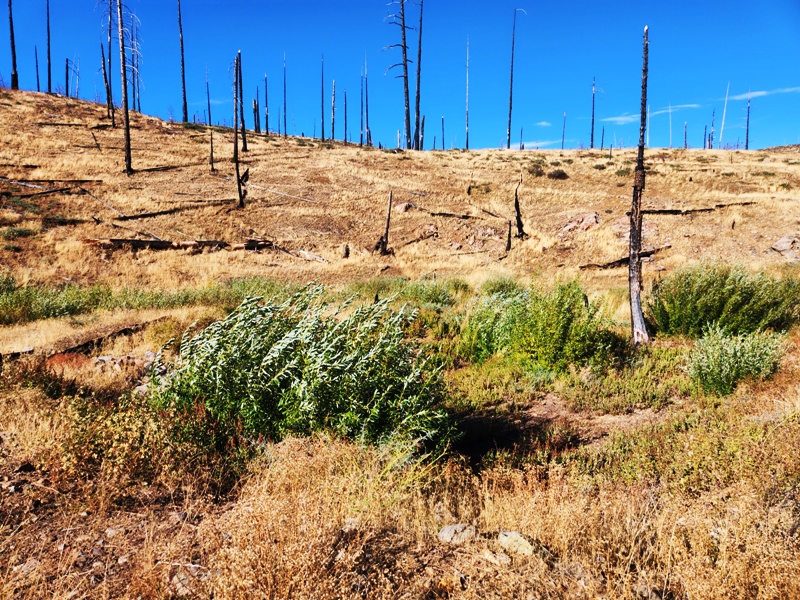
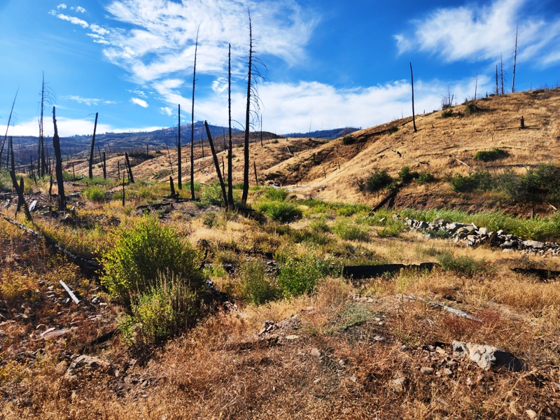
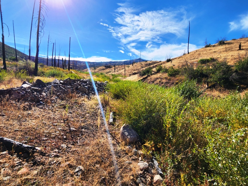
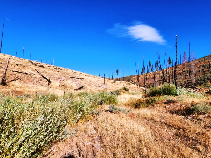
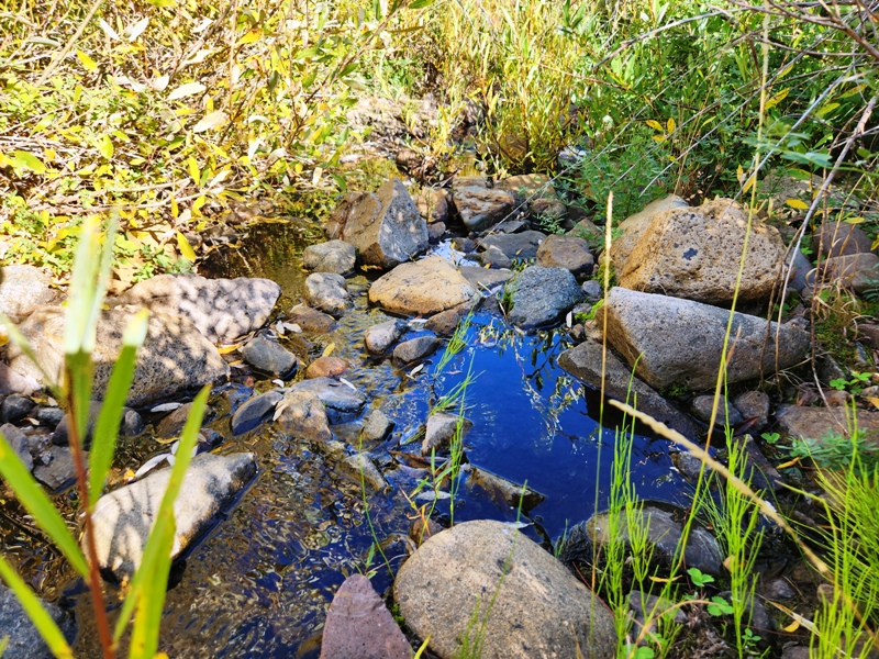
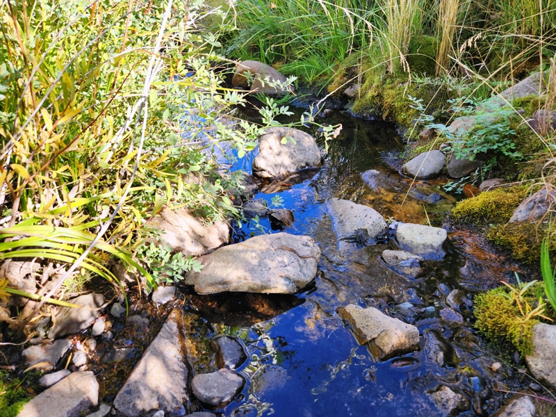
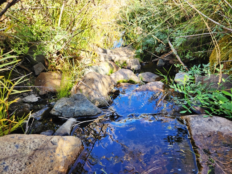
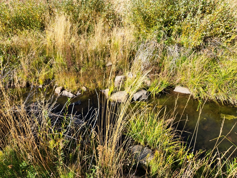
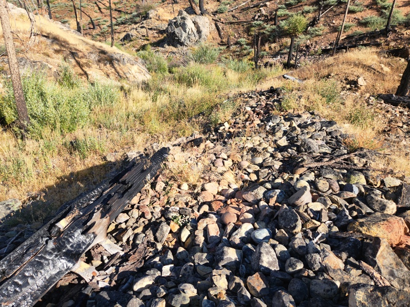
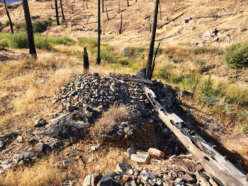
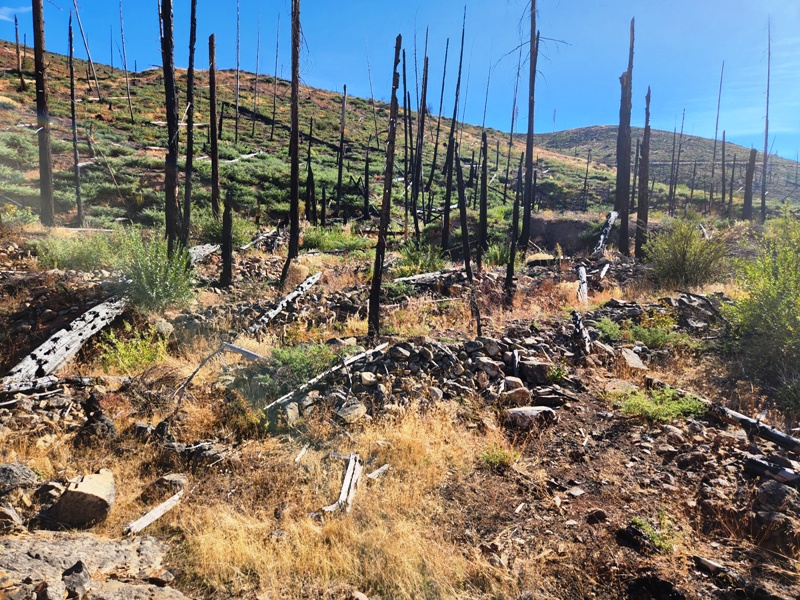
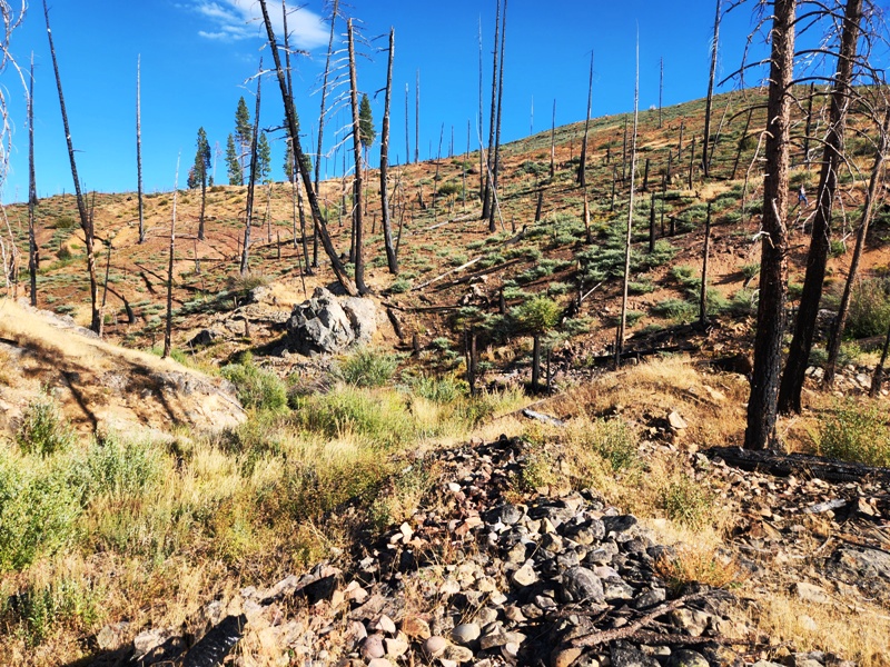
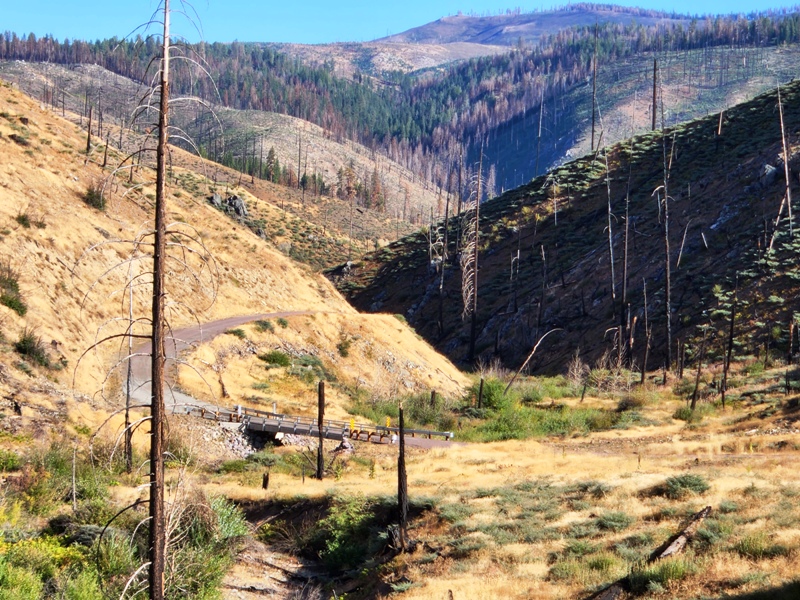
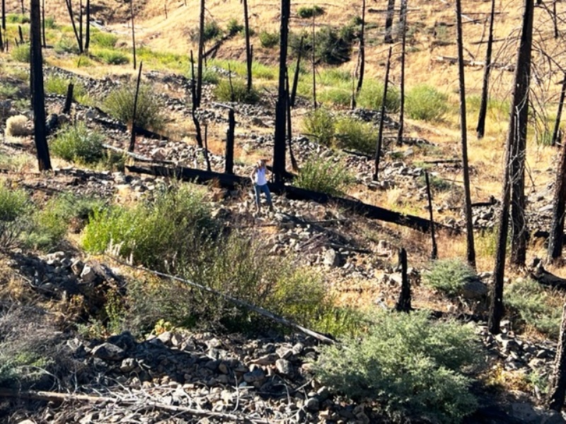
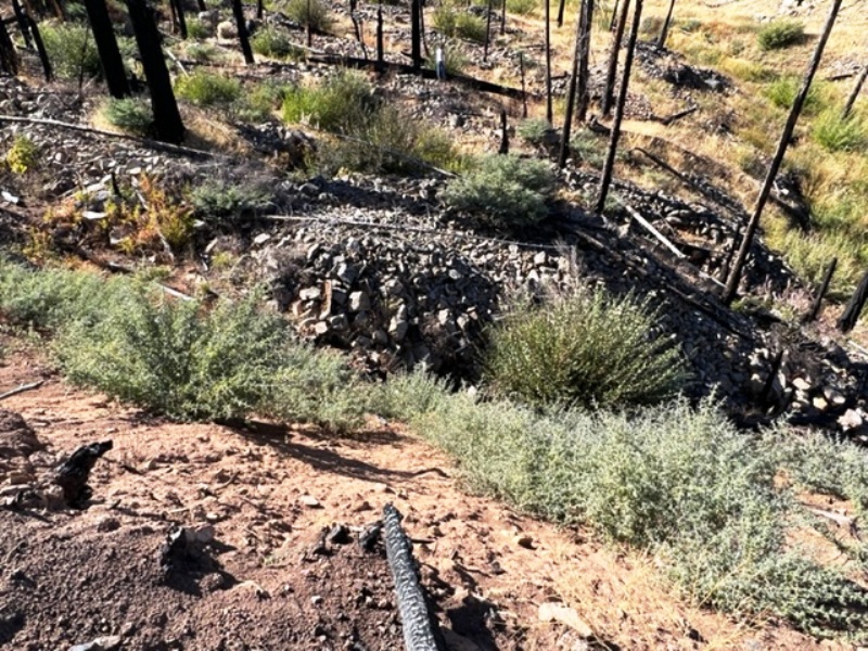
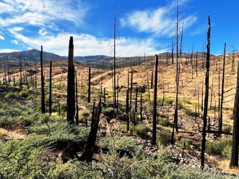
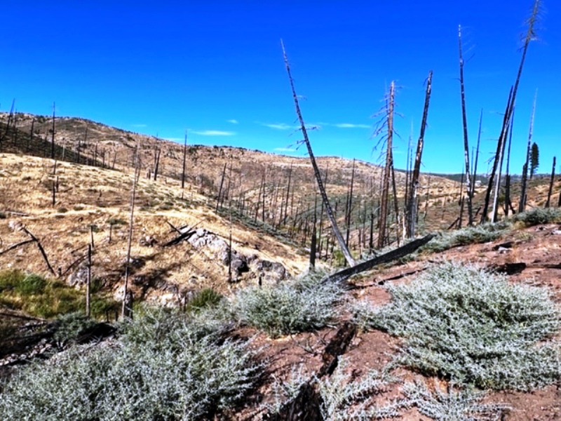
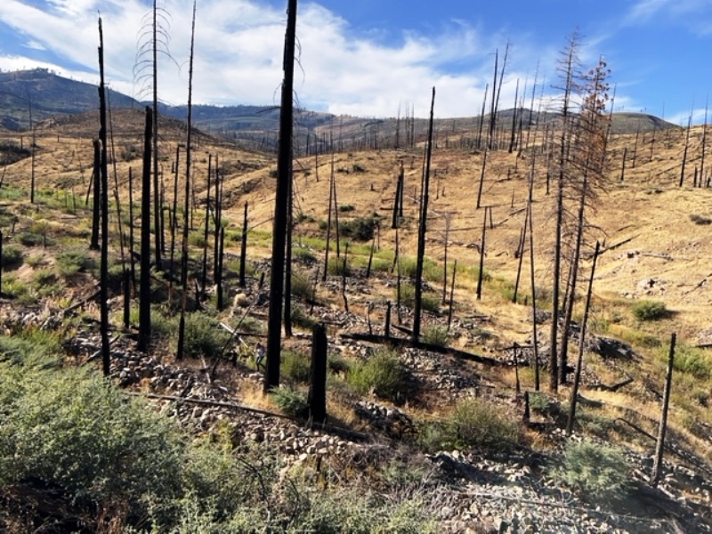
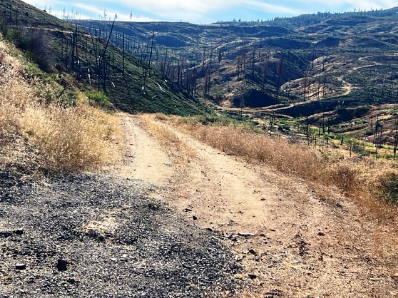
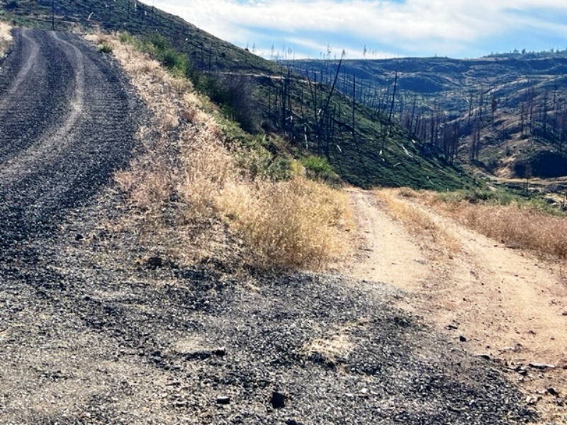
The West Branch of Lights Creek has some amazing mining history. Being located well up valley from the "canyon", few would think that this area would have good gold potential. But don't let that fool you because these claims are closer to the source of the gold - the famous and auriferous Tertiary Jura paleochannel deposit! The Jura deposit's type location is on the north flank of Mount Jura, which is a few miles north of Taylorsville, and remnant patches of the gravel deposit crop out on several of the surrounding ridges and mountain tops. One of the largest outcrops is on Moonlight Ridge and extends both to the northeast and into the West Branch of Lights Creek drainage as well as to the northwest into Mountain Meadows and beyond. Larry Gardside, a research geologist at University Nevada, Reno, dated the Jura Deposits as Eocene (33-56 million years) in age. (see reference). He also has great descriptions of this and other paleochannels in this part of the world. The Jura deposit in the West Branch crops out on the Four Kings claim and the two small drainages erode the gravels into the West Branch creek. Historic placer workings of the creek extend both up and down valley, some of which were very large hydraulic operations. Be sure to look at these when you scout out the claim. There are also remnant West Branch creek terrace deposits not only adjacent to the creek, but high on the ridges too. Some of these were hydraulically worked as well. While the Jura deposit has gold, the big score on this claim are the remnant terrace deposits, especially one adjacent to the creek on north side at the mouth of the two small drainages. An alluvial fan has developed on a remnant terrace that is loaded with gold. Of course, the key here is the gravel-bedrock contact. Here the bedrock is a volcanic ash (tuff) that is soft and easily dug with a backhoe. We discovered pockets and kettles that were carved out when the creek flowed on this terrace at some earlier time. Given our little score from just four 1/2-filled 5-gallon buckets, we feel this to be one of our best scores in our claim portfolio. It is small, but perfect for the single guy or Dad-son team that want to not just prospect but get a fair amount of gold too. In addition, this area was intensely burned in the Moon Light Fire of 2006 as well as the Dixie Fire in 2021. There are not a lot of trees and the Whitethorne bushes have thoroughly taken over, but this is a good thing. There are no significant environmental issues here to prevent you from getting a permit to mine the area! The Forest Service would gladly approve your permit here. It is important to give the Forest Service 60-120 days to approve your permit - yes, they are slow so give yourself time to get your permit before you go mining. The creek is seasonal and will dry up in the later summer months. So the time to mine is early spring to early summer. This will be a fun place to mine! Great views, great times, great gold! If you want to be secluded, this is your claim! P.S. You may want to come in from the Westwood-Mountain Meadows side rather than the Indian Valley side. Check that out on our Google Maps. Some of the amenities are:
Click here for Google Earth Fly To and see an aerial photo of Four Kings and the claim boundries. Google map it for directions to claim. Estimated GPS Coordinates:
Standard Information The One Eyed Jack placer mining claim is a non-patented federal mining claim. You will need to file appropriate annual paperwork to hold the property every year. (Ask us about our Filing Service to assist you with that!) Annual property tax assessment is approximately $1.12 an acre. BLM Fees & Advanced Geologic Transfer Fees Upon payment, the mineral claim will be transferred via a notarized Quitclaim notice filed in your name with Plumas County and the BLM. Limited payment terms and conditions are available; information available on request. Advanced Geologic has an exceptional annual claim paperwork filing system that will maintain your annual filings for any claim in the United States. Advanced Geologic reminds you that you MUST file annual notices with both the county in which the claim is located AND with the Bureau of Land Management by the appropriate dates. There are NO exceptions and errors will lead to the loss of your claim! Are your claims filed correctly? Advanced Geologic is a professional geologic consulting firm located in Chester, California. We not only sell quality mining claims, but we also help people work their claims. Our experience in resource evaluations, compliance and permitting and claim portfolio management allows our clients and buyers to go for the GOLD. Interested? Send us an email or call.
|
|
||||||||||||||||||||||||||||||||||||||||||||||||||||
|
|
||||||||||||||||||||||||||||||||||||||||||||||||||||||
|
|