|
|
| Placer Mining Claims For Sale | |||||||||||||||||||||||||||||||||||||||||||||||||||||||||||||||||||||||||||||||||||||||||||||||||||||||
|
|
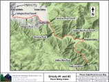
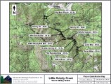
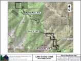
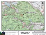
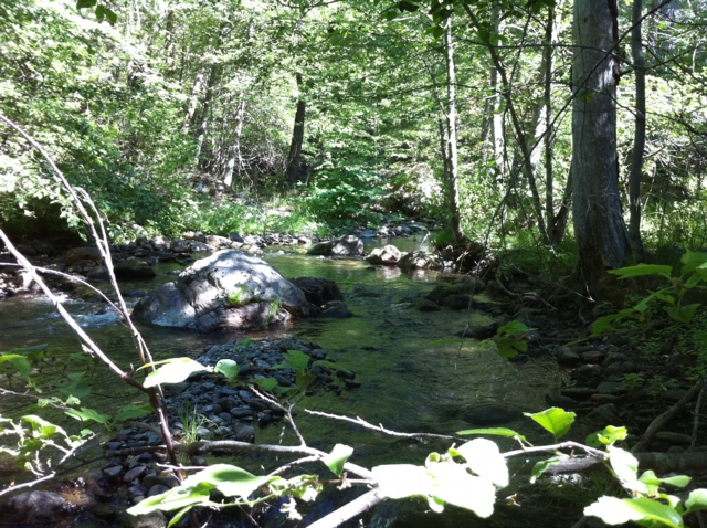
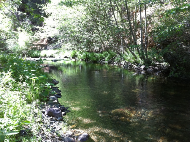
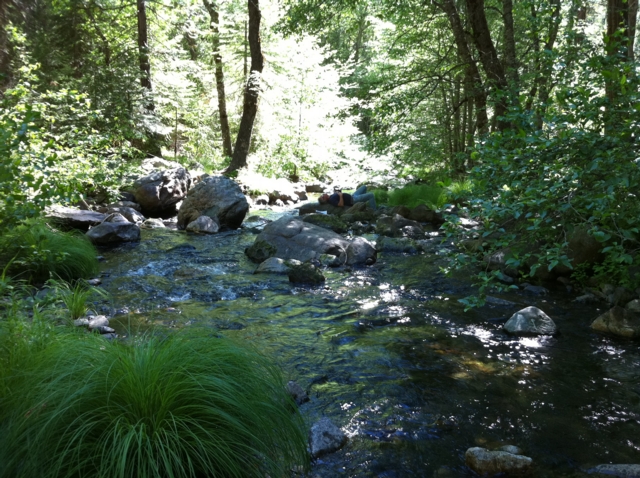
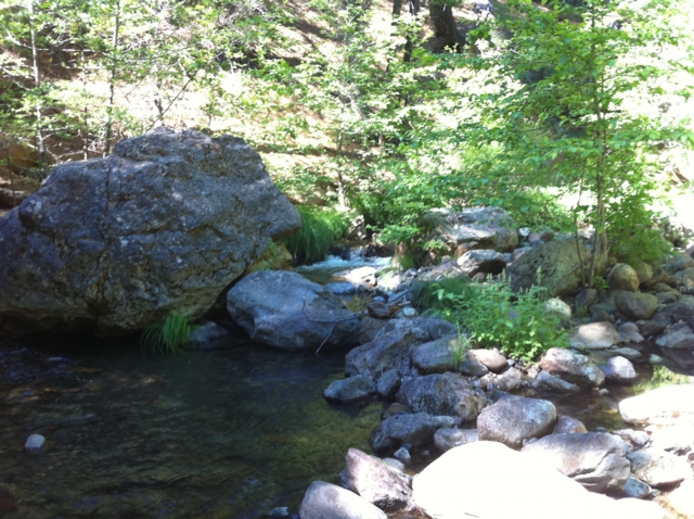
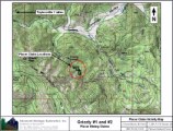
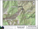
Grizzly #1 ±40 Acres BLM Serial # CA105787688 Price: $5,500 Grizzly #2 ±20 Acres BLM Serial # CA105787687 Price: $4,500 The Tertiary gravels of the Northern Sierra are legendary for their rich pockets of gold and prospectors have sought after them ever since they were first discovered in the mid 1800s. Little Grizzly Creek drains a large area of the Tertiary deposits in its upper drainage and has given several placer miners the opportunity to say "Eureka, I found it"!
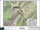
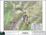
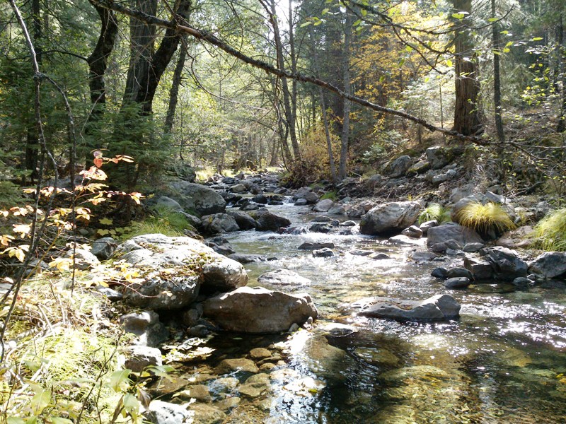
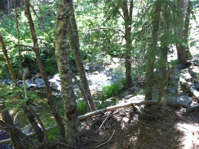
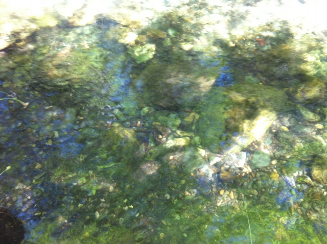
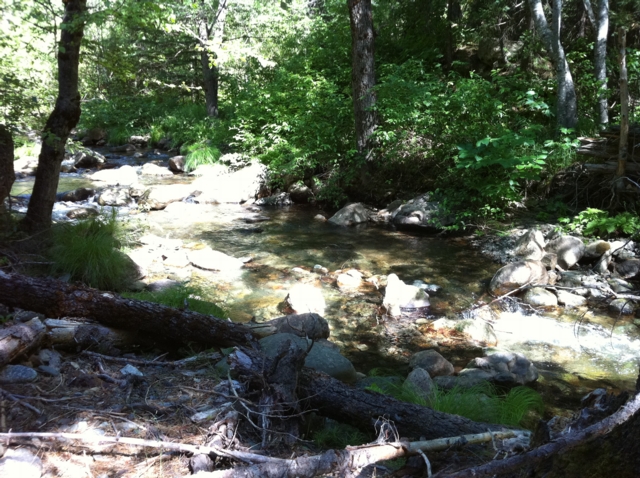
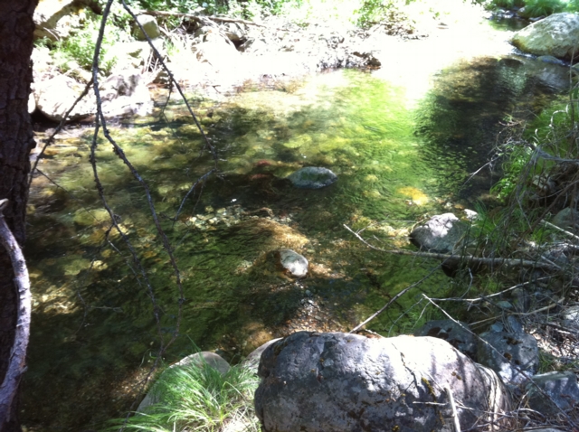
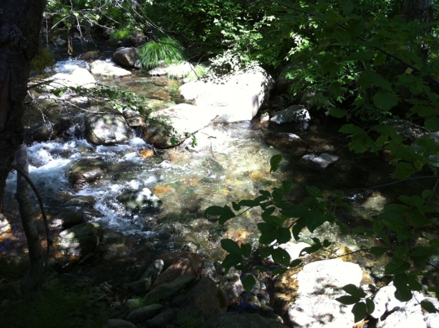
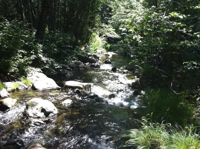
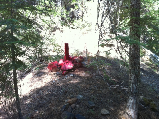
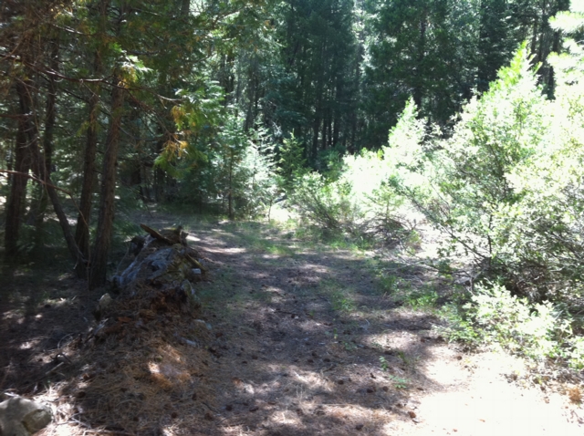
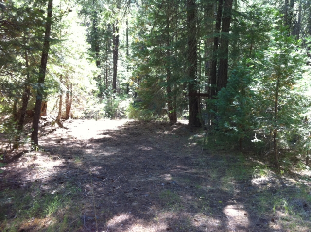
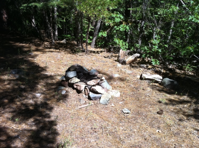
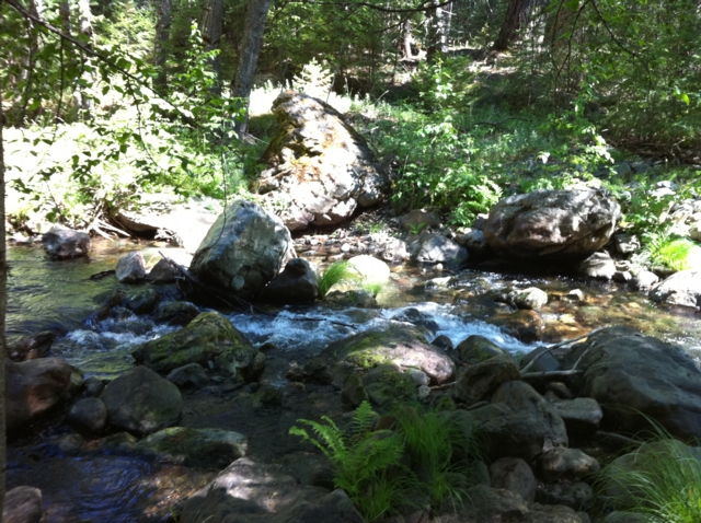
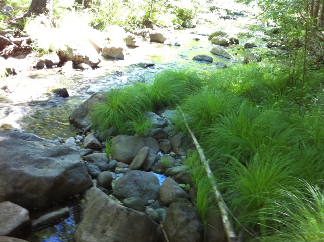
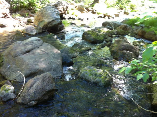
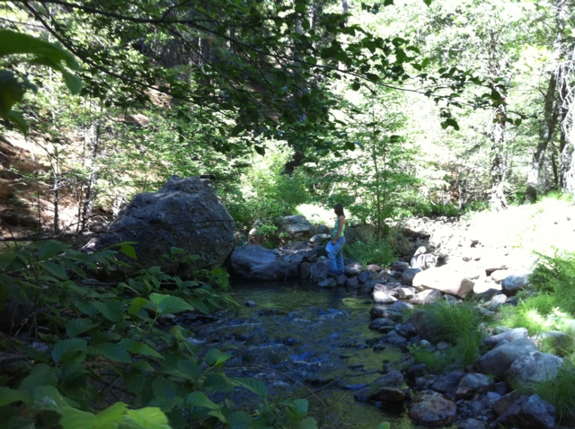
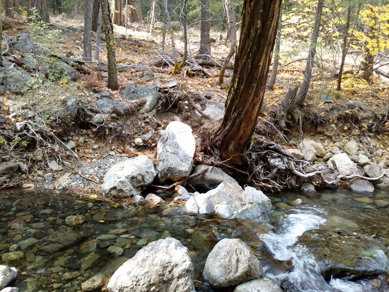
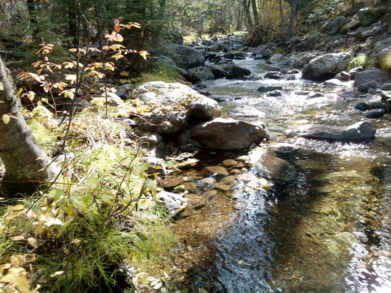
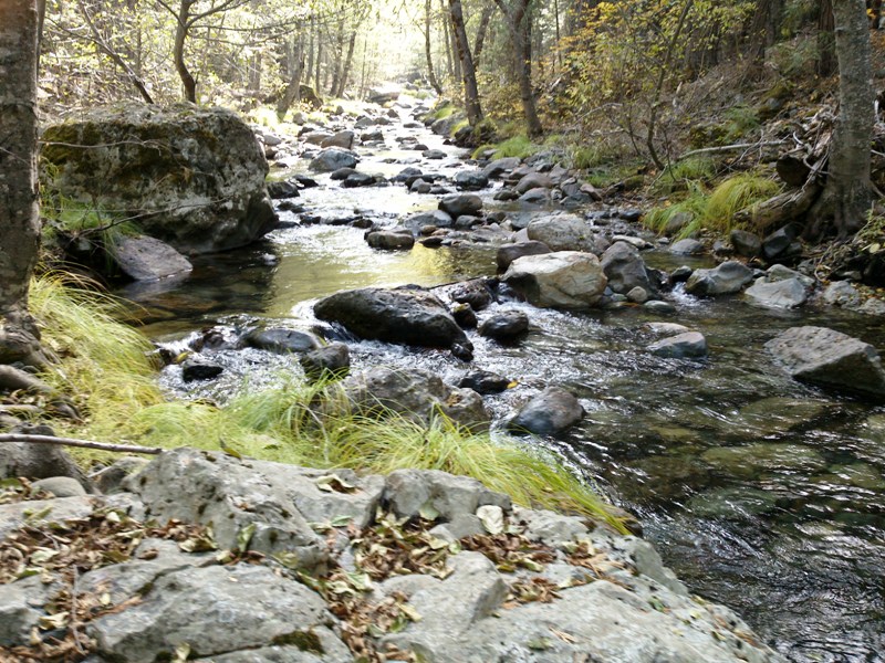
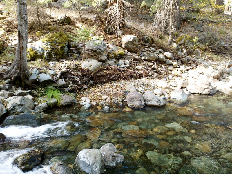
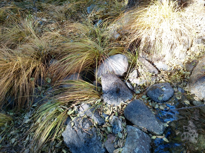
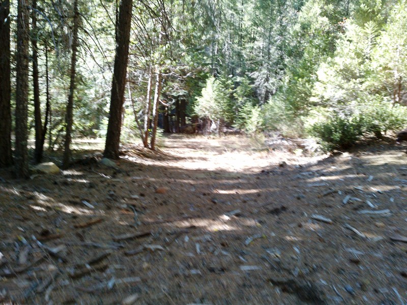
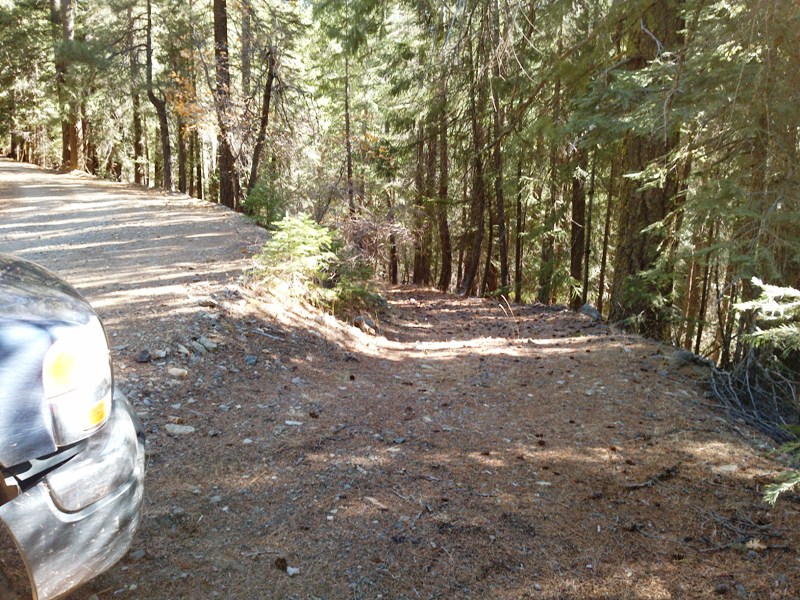
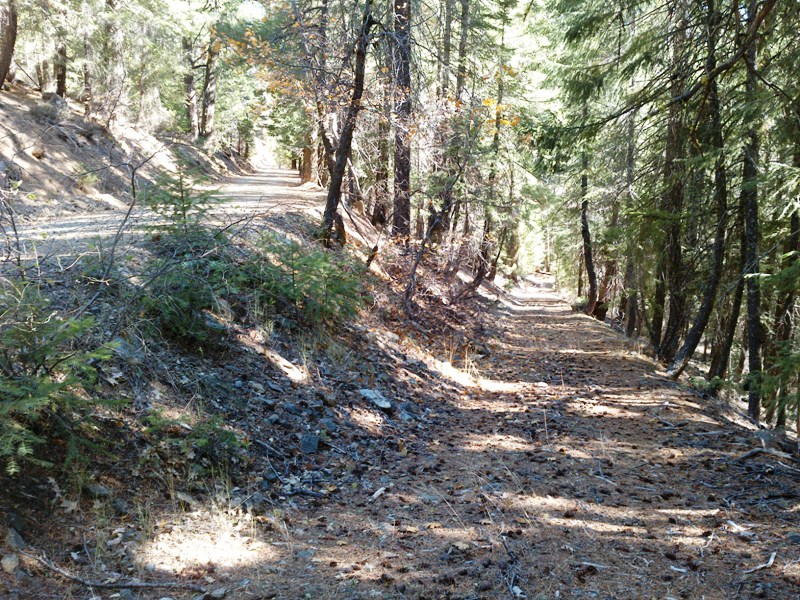
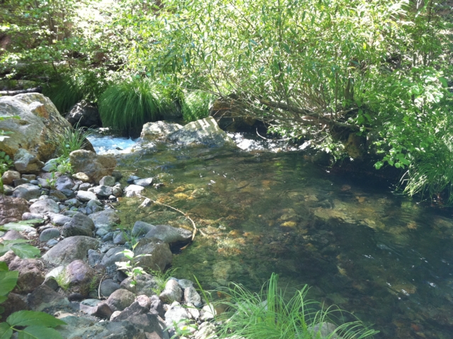
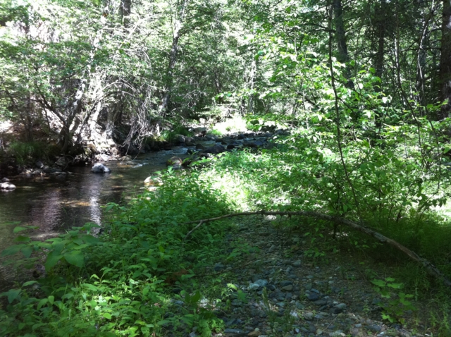
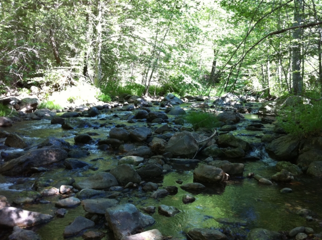
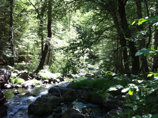
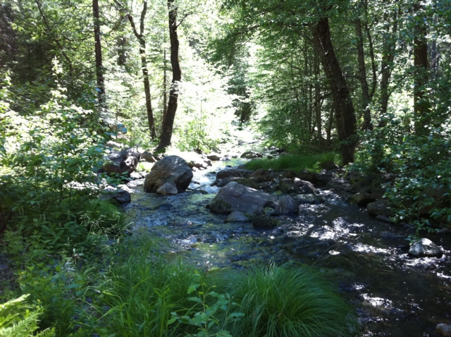
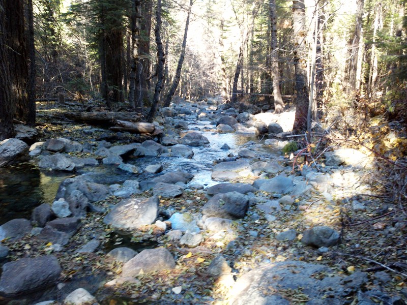
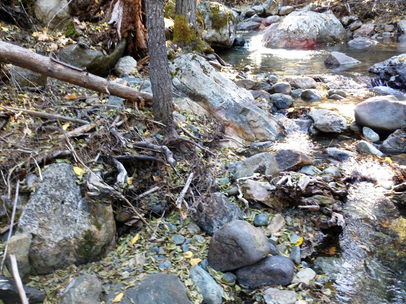
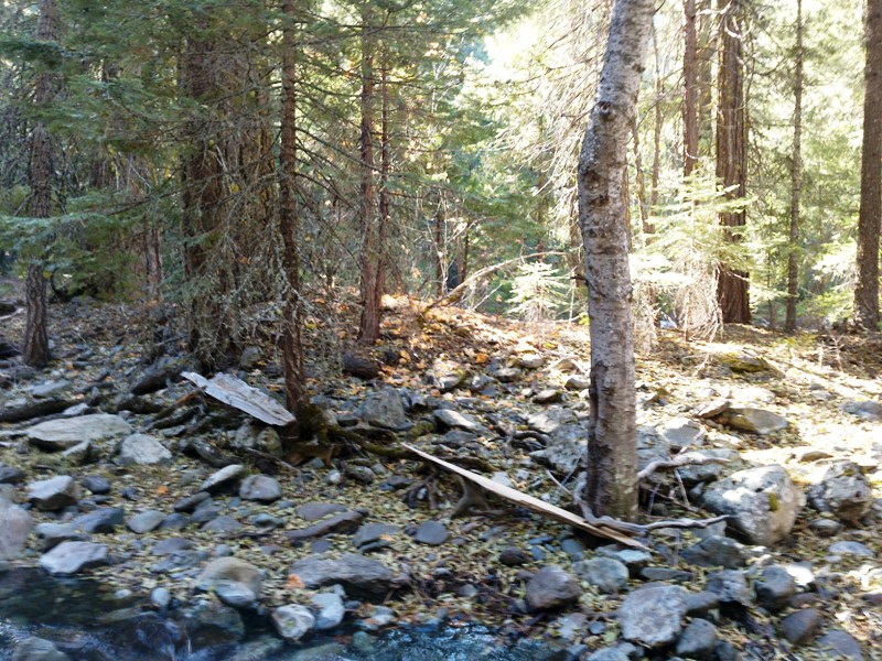
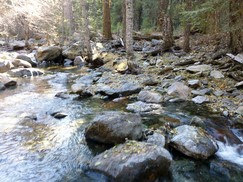
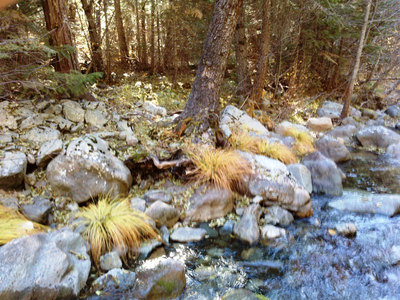
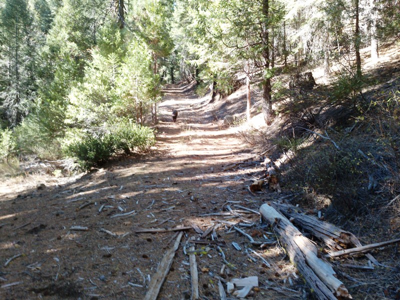
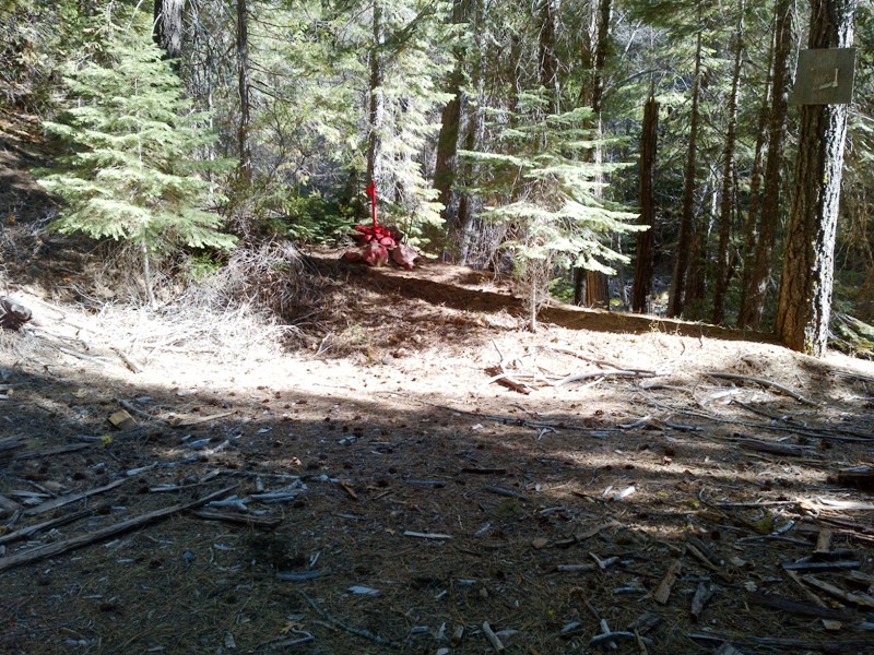
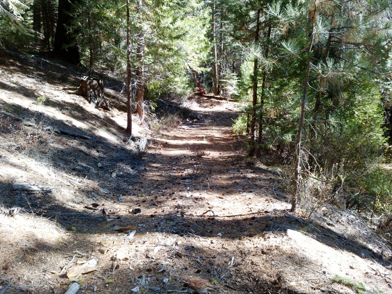
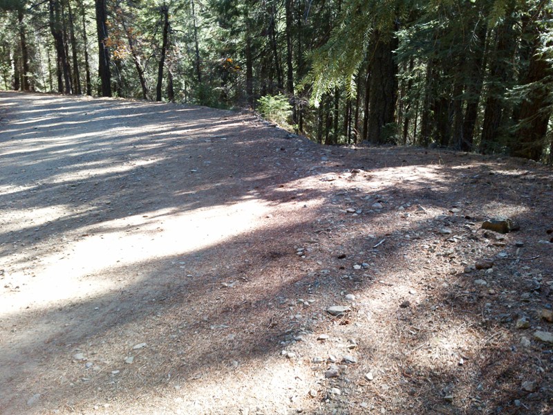
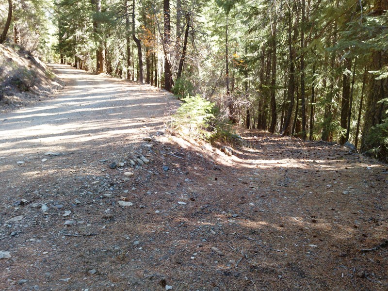
Equally exciting is that Little Grizzly Creek drains the famous Walker Consolidated Mine area, a rich copper-gold deposit at the southern end of the Plumas Copper Belt. The mineralization was driven by the Little Grizzly Creek granodiorite. The ore occurred in quartz veins within a shear zone. Five high-grade ore bodies were mined along the shear zone for at least 7000 feet and to a depth of over 1000 feet. Numerous smaller veins radiated away from the shear zone and provided abundant placer opportunities down stream. This one-two punch makes placer mining claims on Little Grizzly Creek one of the prime acquisitions in the northern Sierra. Prospecting skill levels for the Grizzly #1 & #2 placer claim is from beginner to advanced, trending towards the intermediate level. The Grizzly #1 & #2 placer claim secures a series of bends and chutes. As the pictures show, the canyon is narrow and bedrocks are widespread. Numerous boulders litter the drainage and range in size from small to very large. There are a number of remnant terrace deposits along the drainage, but most are isolated and make for good campsites. There is a good fisherman's trail that extends along the creek. Floodwaters have been brisk and the drainage appears to have scoured-out every so often, replenishing the gravels and probably the GOLD! Bedrock is predominantly metavolcanics of the Sierra Buttes Formation. It is full of clasts, some of which are easily eroded and form kettles that are ideal traps for gold. It is this remoteness that makes this claim very attractive. There is a good camping site on the claim that is ideal for RVs or just basic staging areas. With all the cracks and boulders, prospectors with metal detectors should find abundant rewards not only along the stream but along the slopes and within the cliffs. Miners and prospectors will have a life-time of opportunities before this claim is played out. Taylorsville is 10 miles away with only a grocery store and a bar but a perfect place to stop in and relax after a long day of mining to grab a bite and a cold drink. Greenville is 20 miles away which has lodging, restaurants, grocerys stores, a hardware store, and gasoline facilities. Click here Google Earth Fly To and see an aerial photo of the Grizzly #1 and the claim boundaries. Google map it for directions to claim. Estimated GPS Coordinates:
Click here Google Earth Fly To and see an aerial photo of the Grizzly #2 and the claim boundaries. Google map it for directions to claim. Estimated GPS Coordinates:
Standard Information Upon payment, the mineral claim will be transferred via a notarized quitclaim notice filed in your name with Plumas County and the BLM. A $150 fee is assessed to handle the transfer. Limited payment terms and conditions are available; information available on request. Advanced Geologic has an exceptional automatic claim notice filing service that will maintain your annual filings for any claim in the United States. Advanced Geologic reminds you that you MUST file annual notices with both the county in which the claim is located AND with the Bureau of Land Management by the appropriate dates. There are NO exceptions and errors will lead to the loss of your claim! Are your claims filed correctly? Advanced Geologic is a professional geologic consulting firm located in Chester, California. We not only sell quality mining claims, but we also help people work their claims. Our experience in resource evaluations, compliance and permitting and claim portfolio management allows our clients and buyers to go for the GOLD. Interested? Send us an email or call.
.
. |
|
|||||||||||||||||||||||||||||||||||||||||||||||||||||||||||||||||||||||||||||||||||||||||||||||||||||
|
|
|
||||||||||||||||||||||||||||||||||||||||||||||||||||||||||||||||||||||||||||||||||||||||||||||||||||||
|
|

.jpg)