|
|
| Placer Mining Claims For Sale | ||||||||||||||||||||||||||||||||||||||||||||||||
|
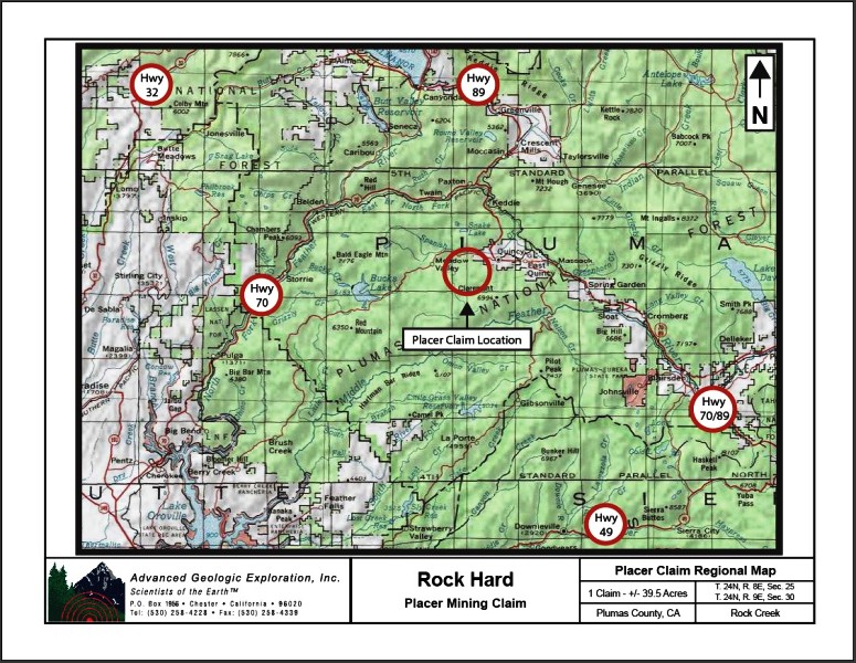
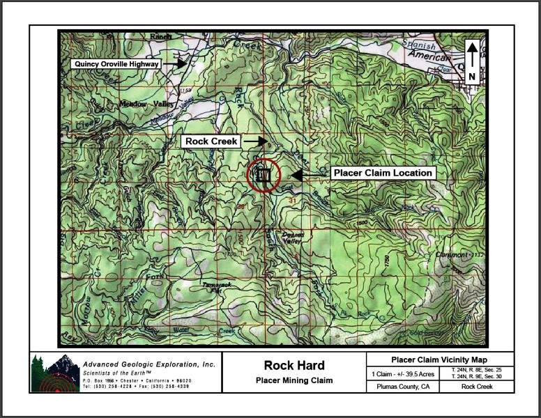
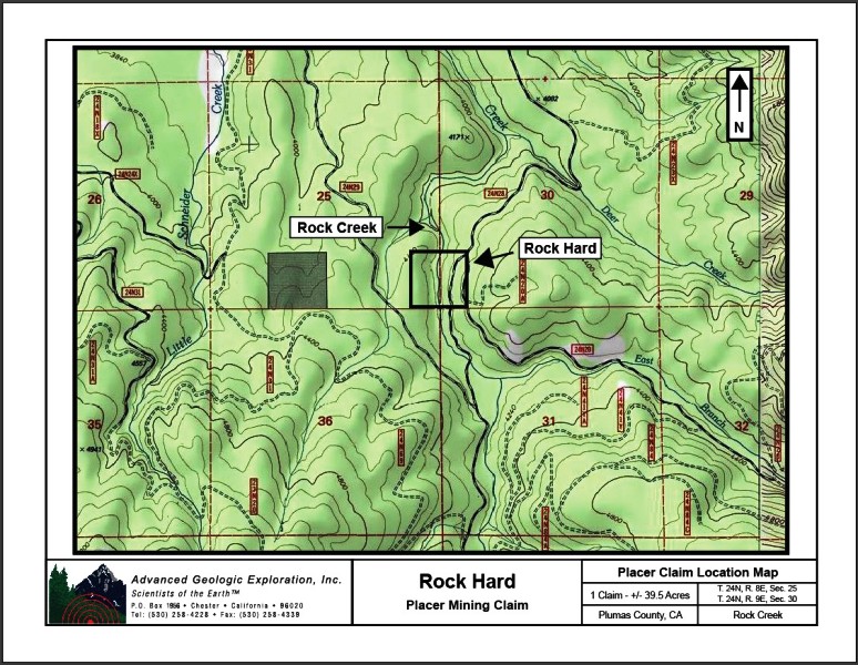
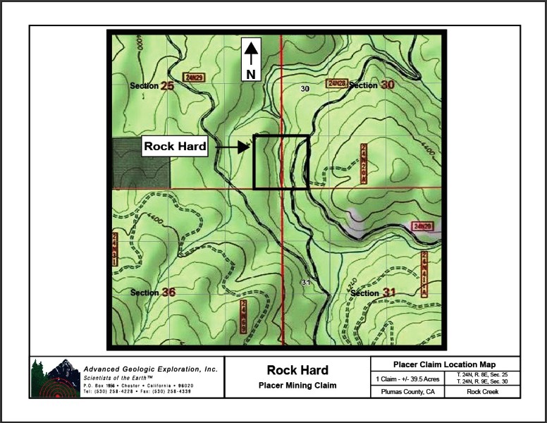
Rock Hard |
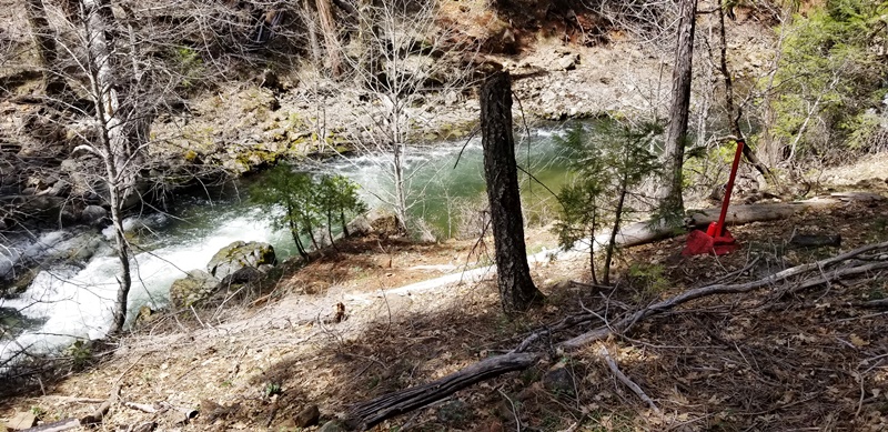
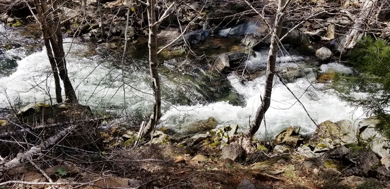
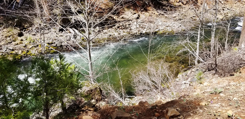
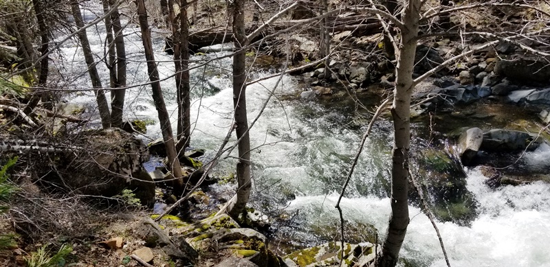
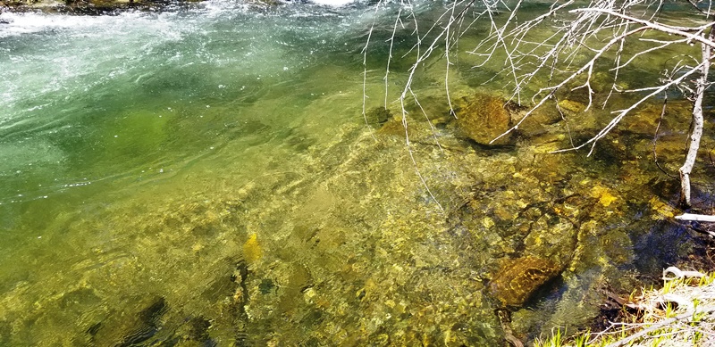
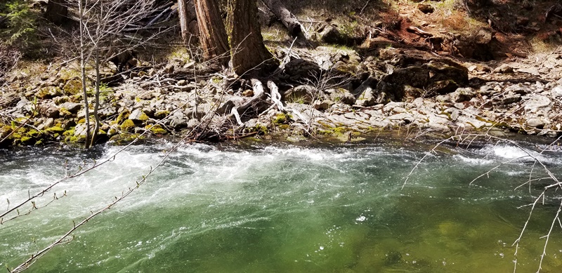
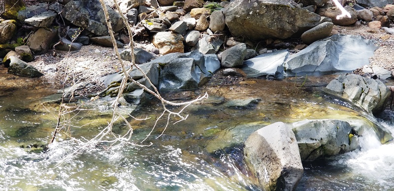
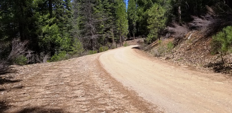
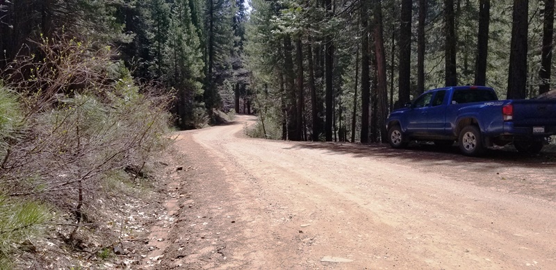
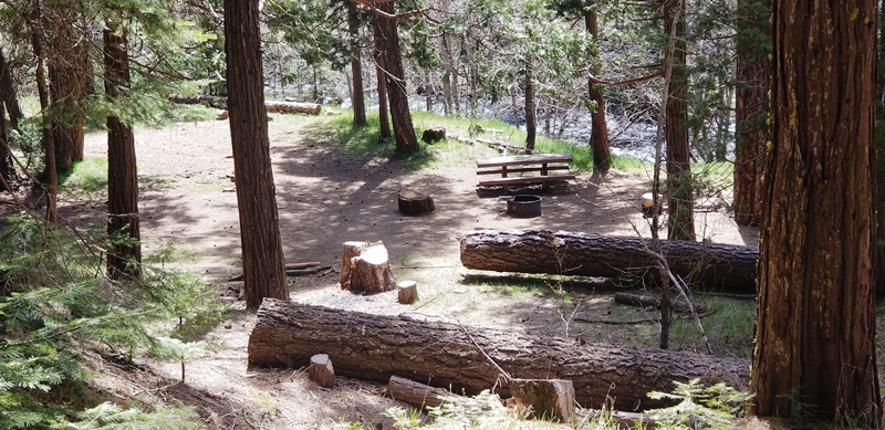
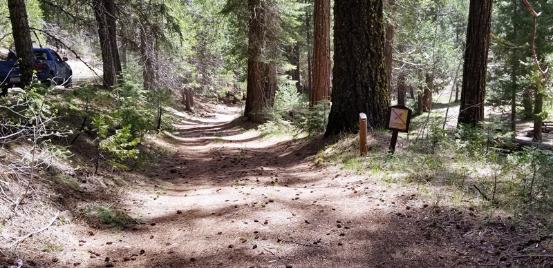
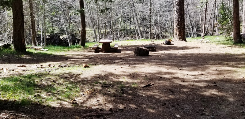
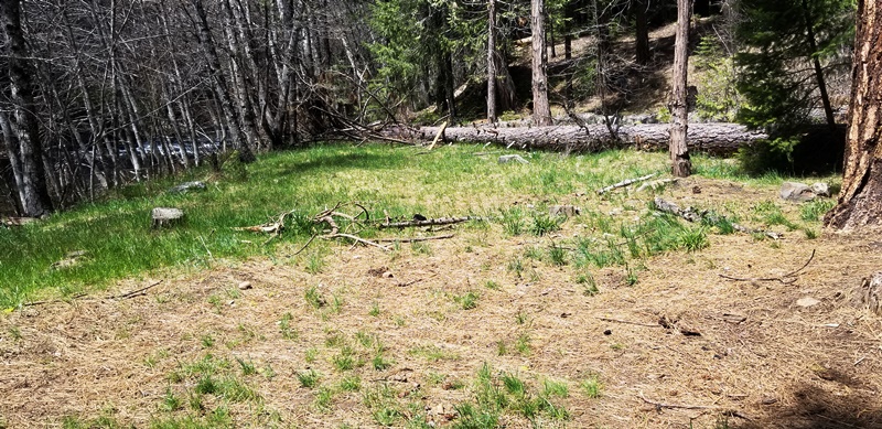
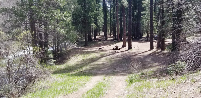
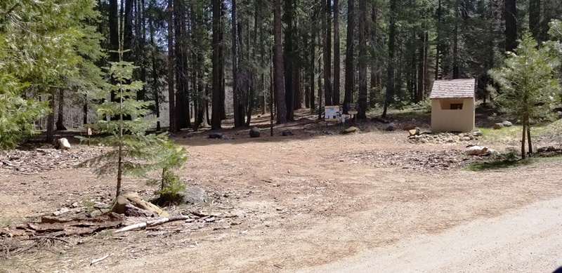
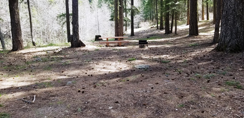
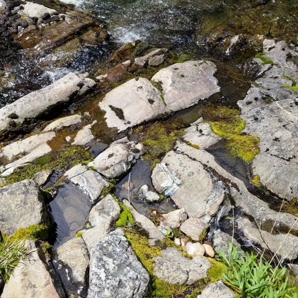
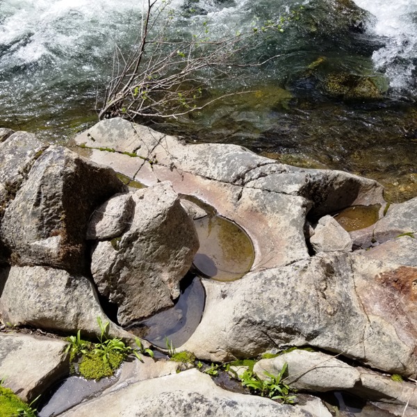
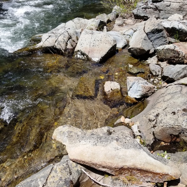
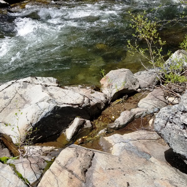
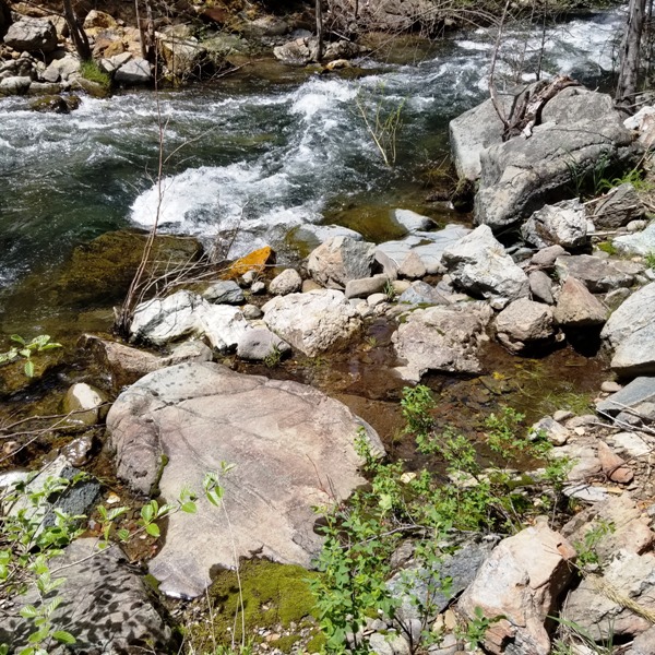
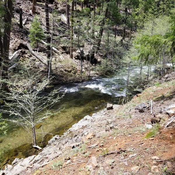
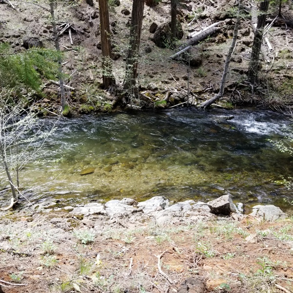
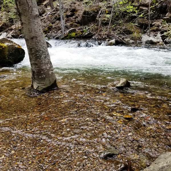
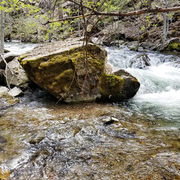
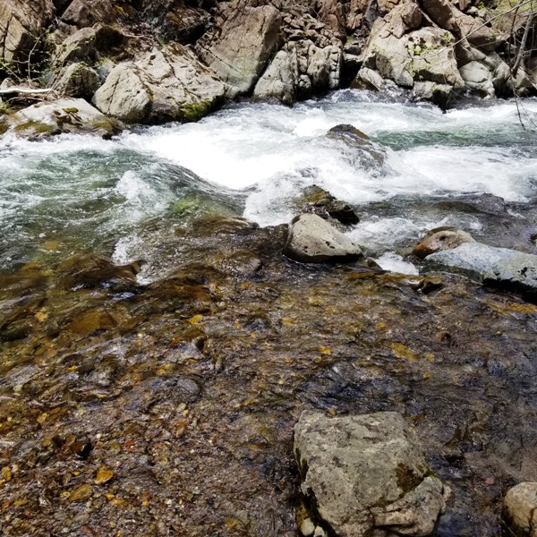
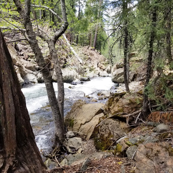
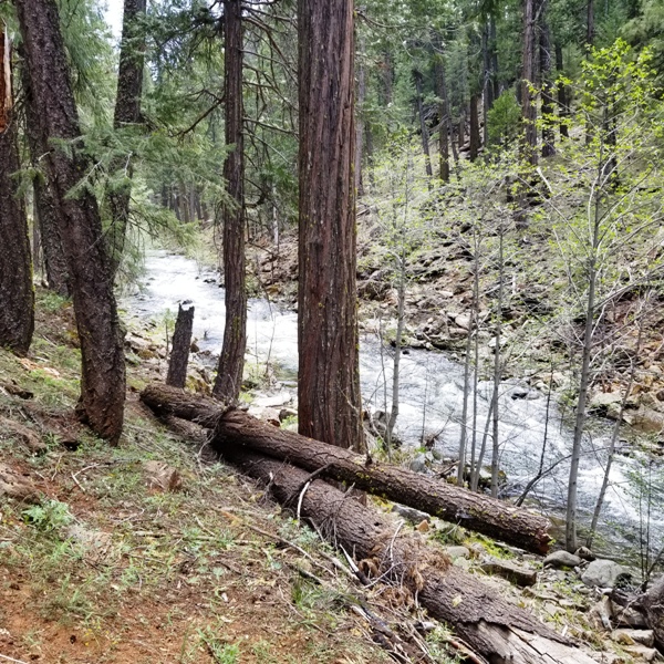
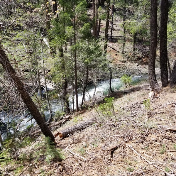
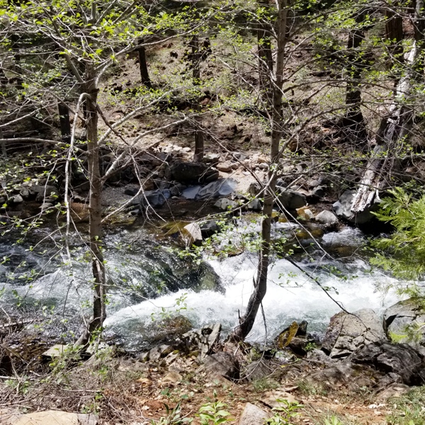
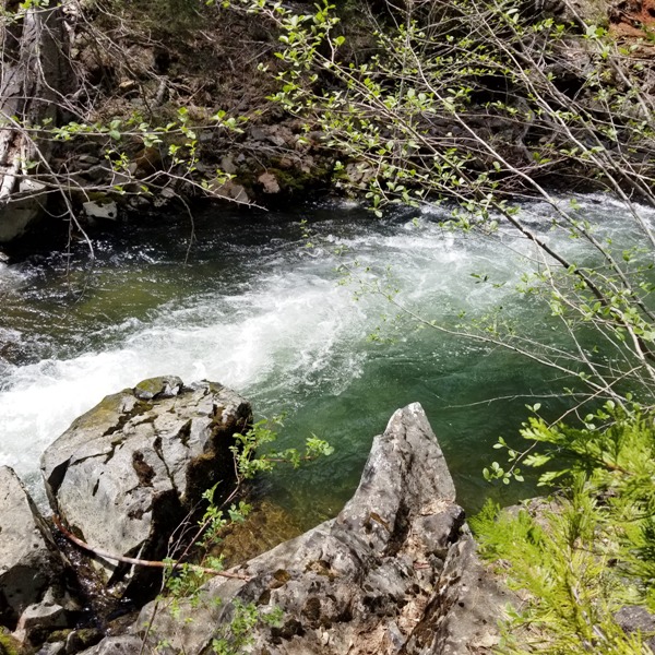
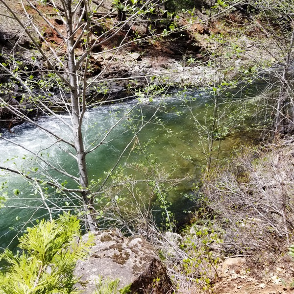
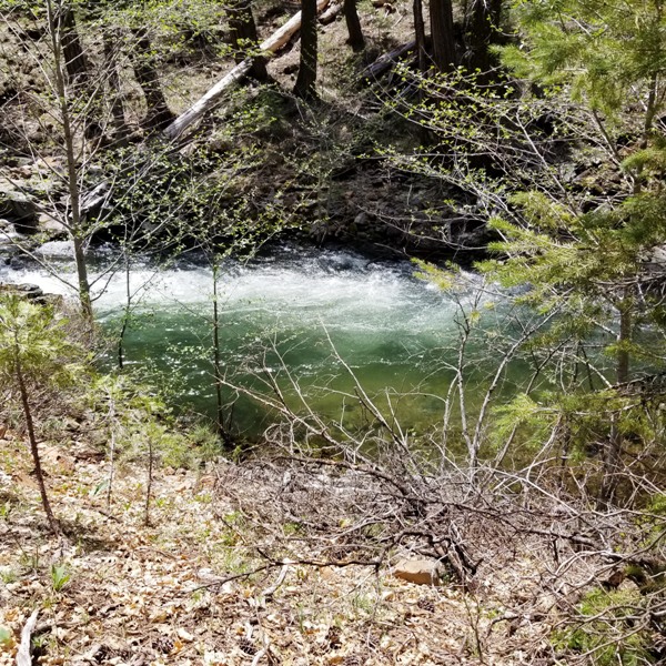
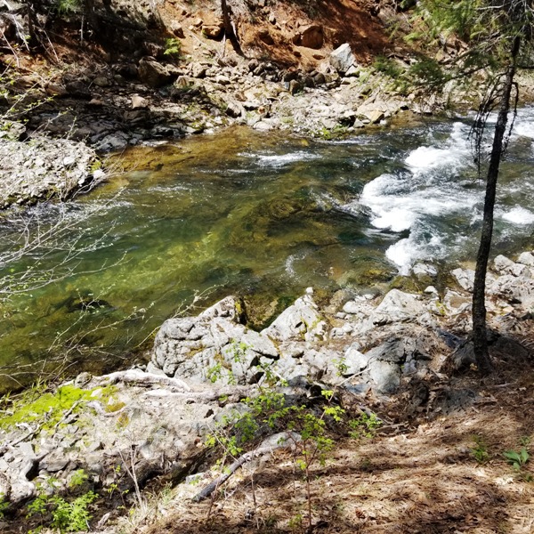
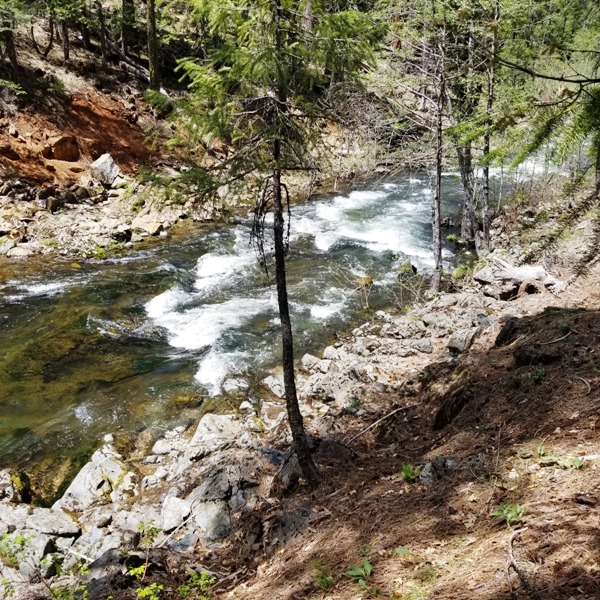
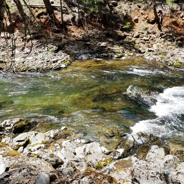
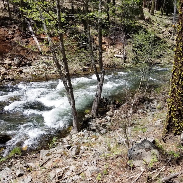
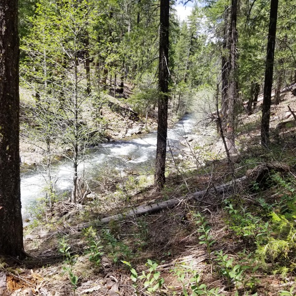
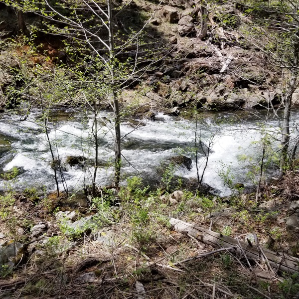
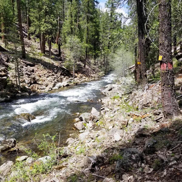
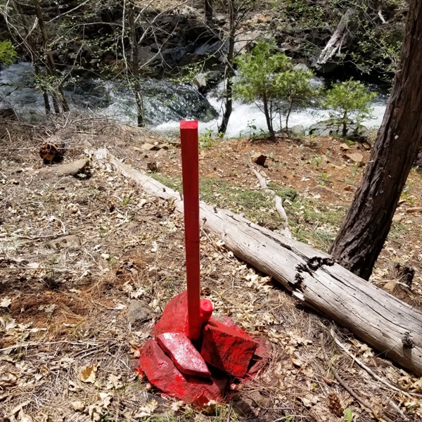
**Featured Claim!!** Rock Hard ±39.5 Acres Price: $10,000 Sale Price when combined with Old Rockstar $17,000 Rock Creek is a beautiful year-round creek with multiple mining opportunities. There are numerous gravel deposits in this stretch of the creek which have great potential for sluicing and panning. Abundant bedrock outcroppings provide rewarding metal detecting experiences. This section of the creek is fully “claimed-up” which demonstrates the richness of the area. There is also a nice swimming hole to cool off in after a day of prospecting. Access is by Don’t forget the barbecue!
GPS Coordinates:
Click Google Earth Fly To to see an ariel view of the Rock Hard placer claim and its boundaries. Click here to Google Map it. Standard Information BLM Fees & Advanced Geologic Transfer Fees Upon payment, the mineral claim will be transferred via a notarized Quitclaim notice filed in your name with Plumas County and the BLM. Limited payment terms and conditions are available; information available on request. Advanced Geologic has an exceptional automatic claim notice filing system that will maintain your annual filings for any claim in the United States. Advanced Geologic reminds you that you MUST file annual notices with both the county in which the claim is located AND with the Bureau of Land Management by the appropriate dates. There are NO exceptions and errors will lead to the loss of your claim! Are your claims filed correctly? Advanced Geologic is a professional geologic consulting firm located in Chester, California. We not only sell quality mining claims, but we also help people work their claims. Our experience in resource evaluations, compliance and permitting and claim portfolio management allows our clients and buyers to go for the GOLD. Interested? Send us an email or call. New 2024 Spring Pictures!
2023 Spring Pictures
|
|
||||||||||||||||||||||||||||||||||||||||||||||
|
|
|
|||||||||||||||||||||||||||||||||||||||||||||||
|
|