|
|
| Gold Exploration | ||||||||||||||||||||||||||||||||||||||||||||||||||||||
|
|
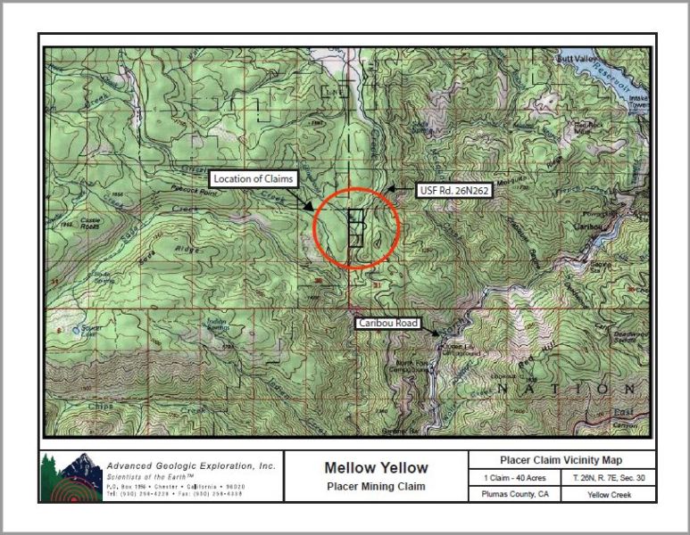
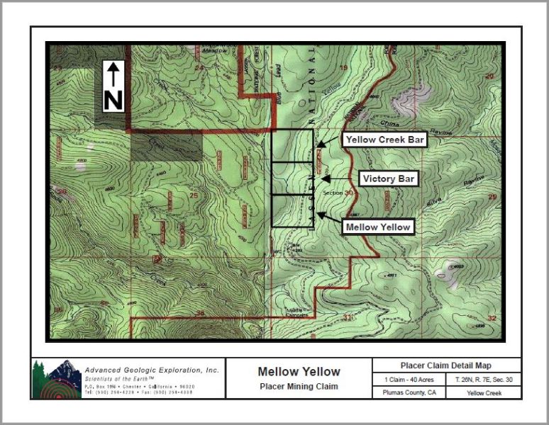
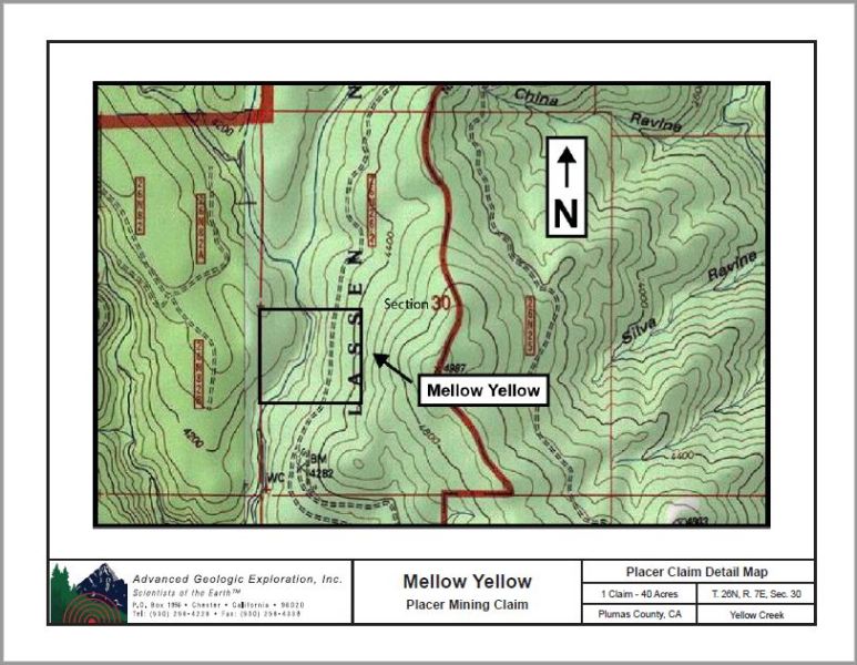
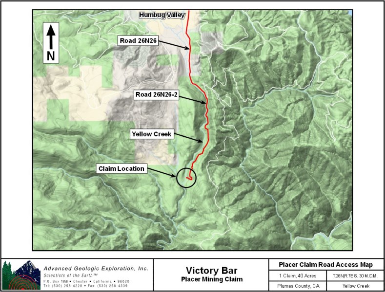
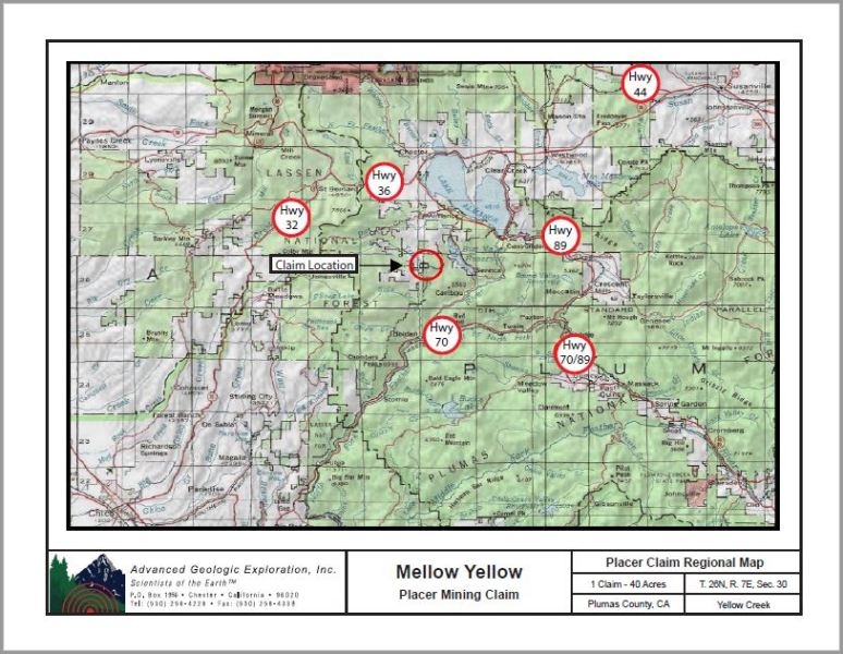
Mellow Yellow 40 Acres Price: $5,500 Yellow Creek Three Claim Package!! Victory Bar, Yellow Creek Bar & Mellow Yellow $15,000 The claim attributes are:
Click here Google Earth Fly To and see an aerial photo of the claim boundaries. Click here to Google Map it. Estimated GPS Coordinates:
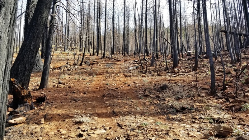
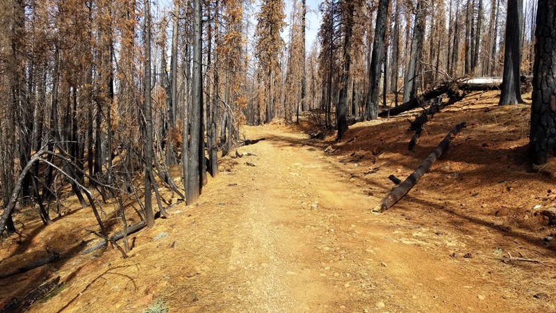
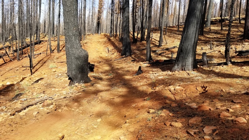
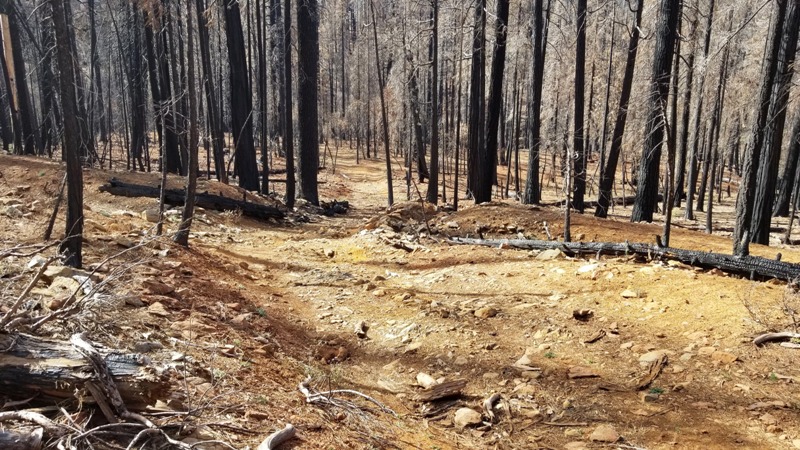
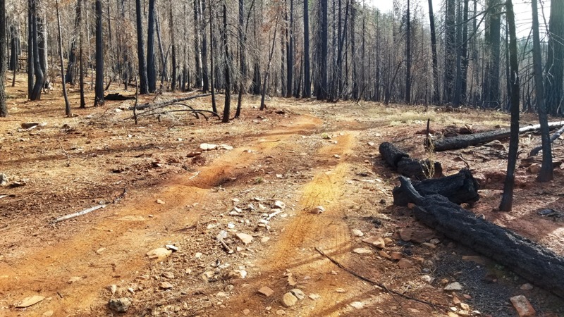
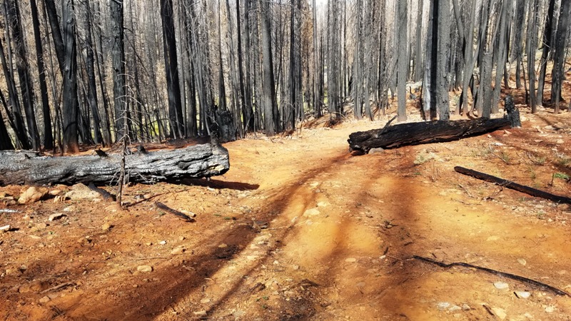
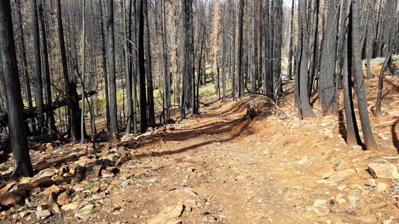
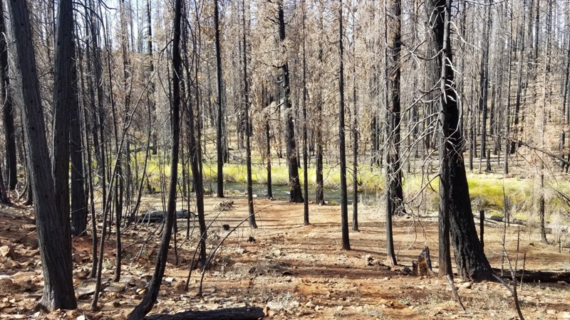
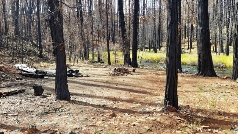
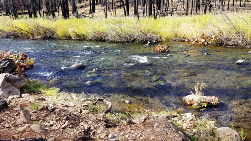
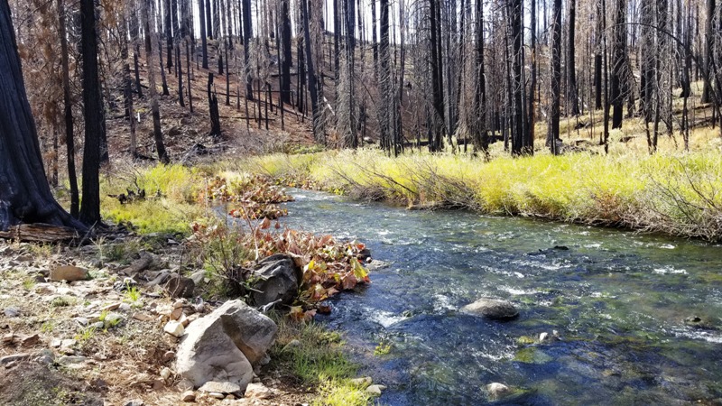
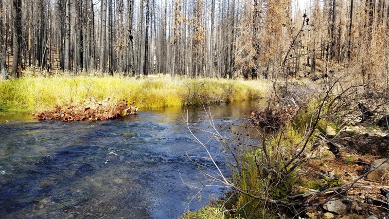
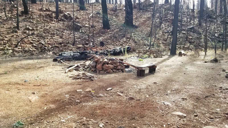
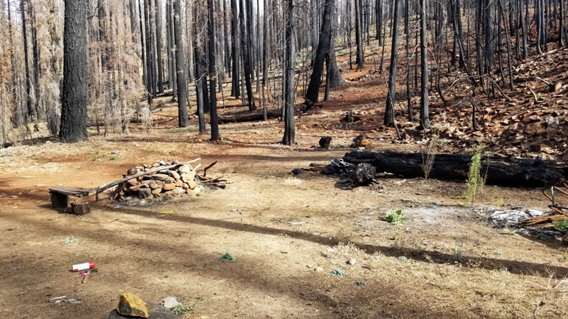
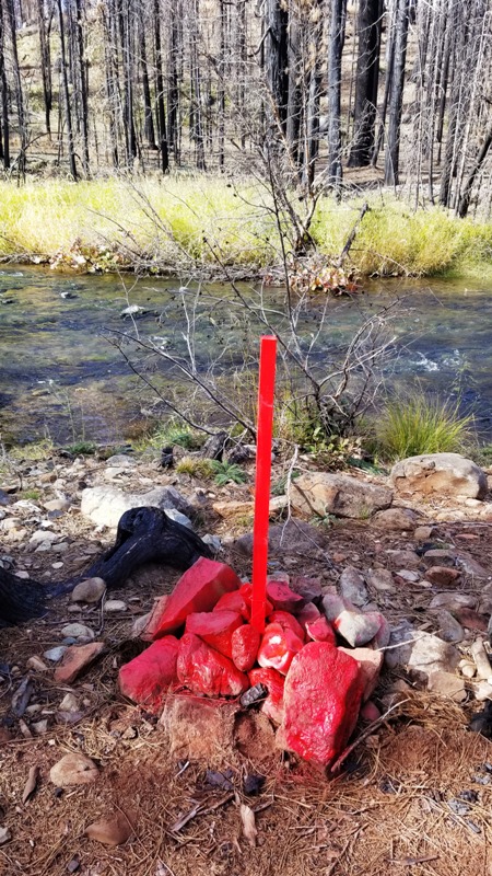
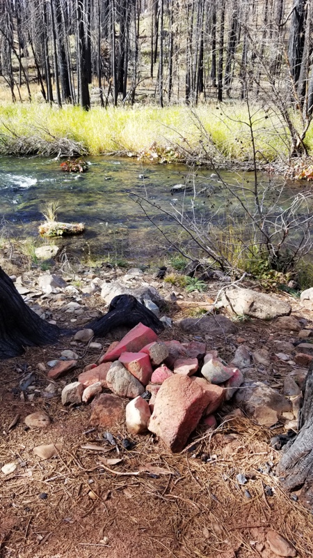
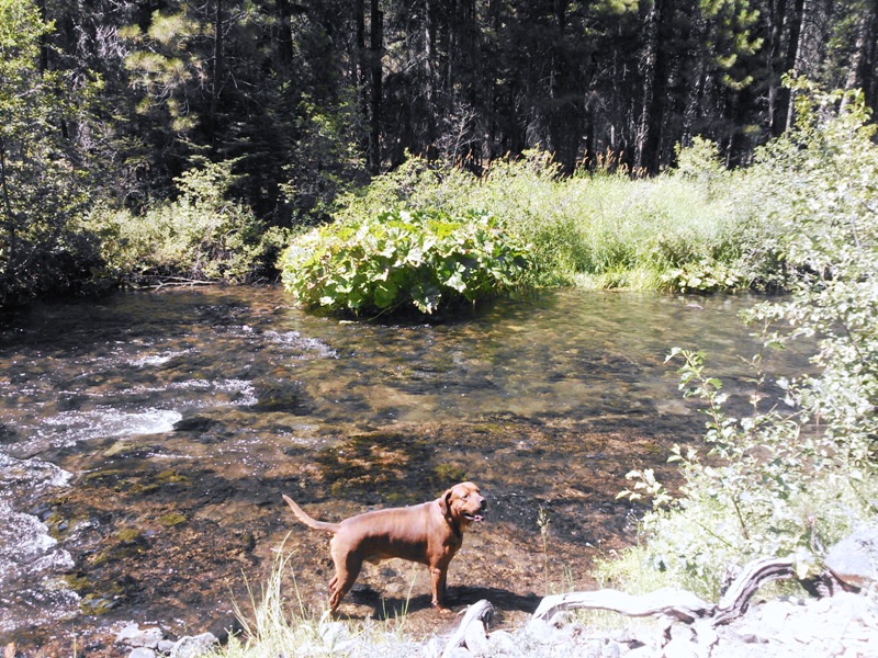
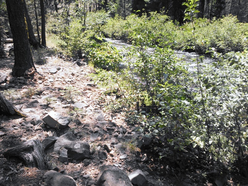
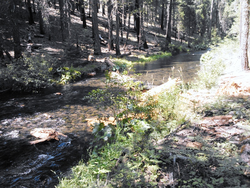
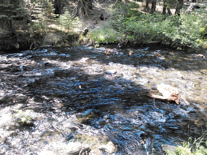
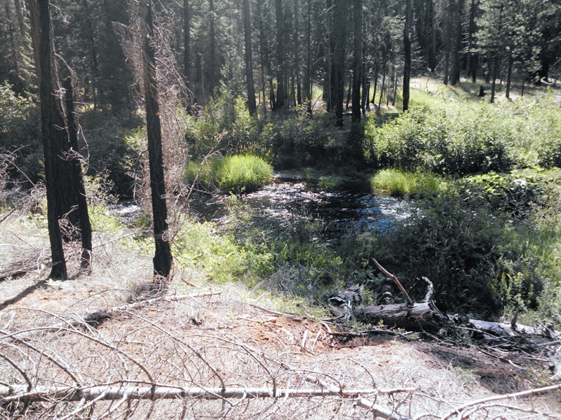
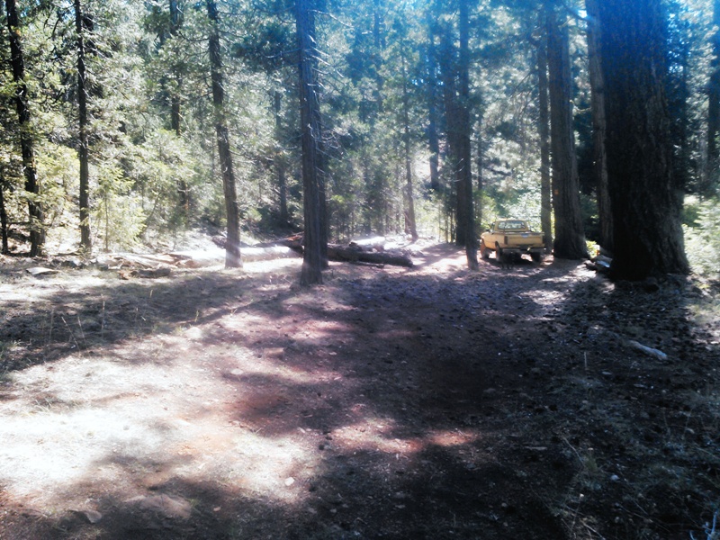
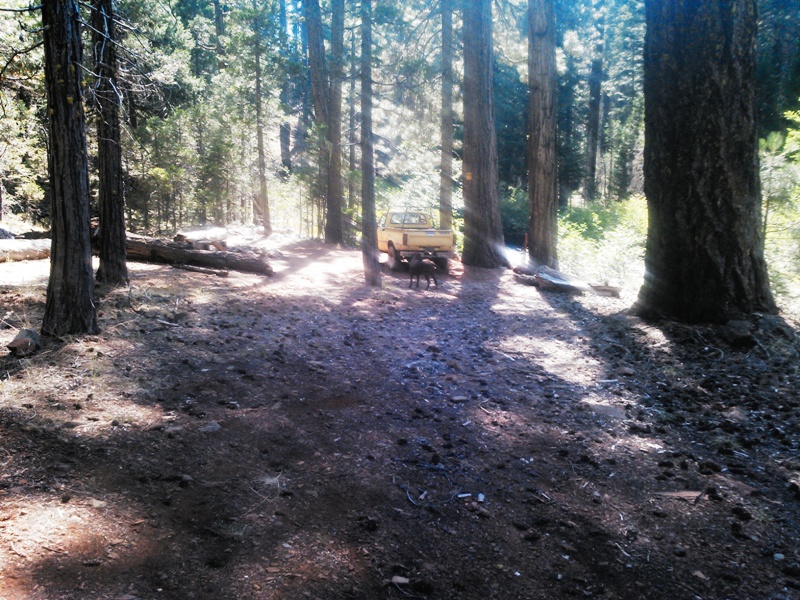
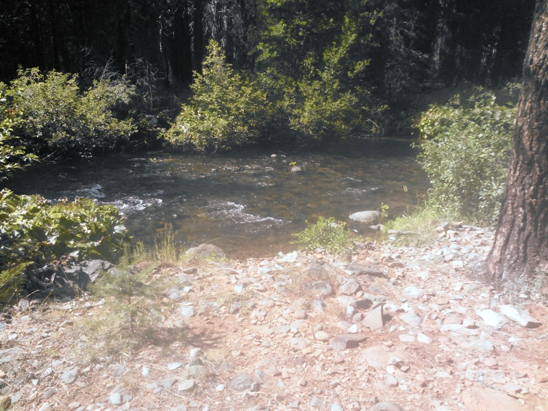
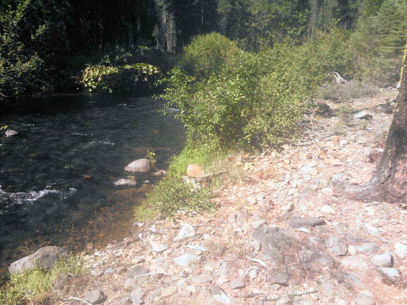
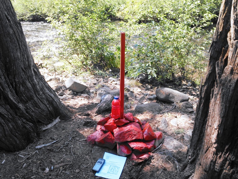
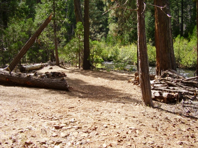
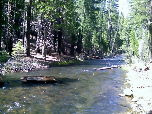
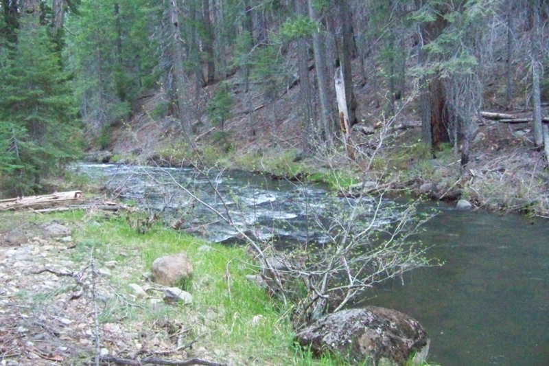
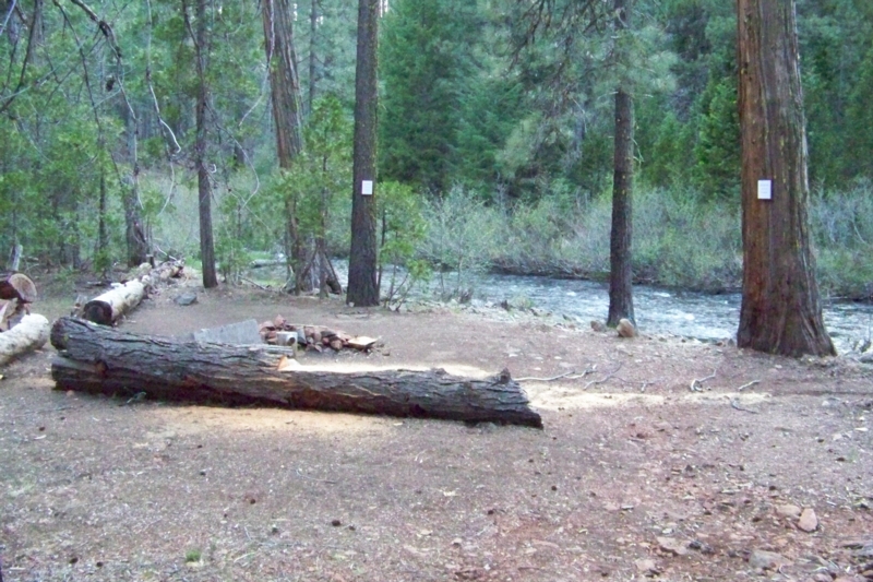
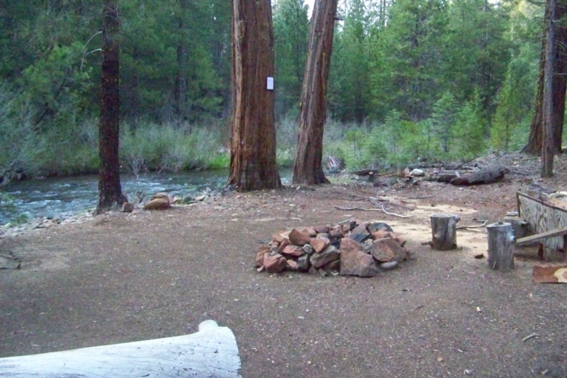
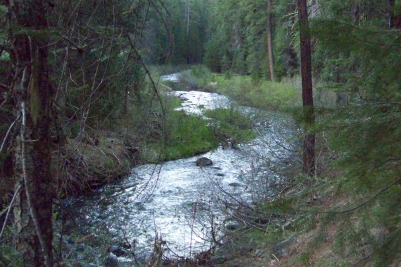
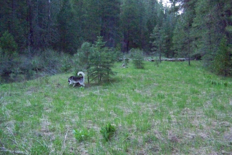
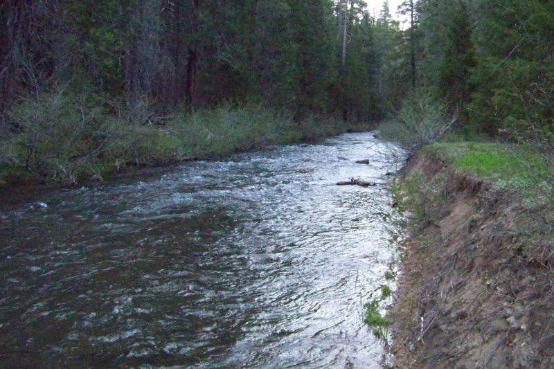
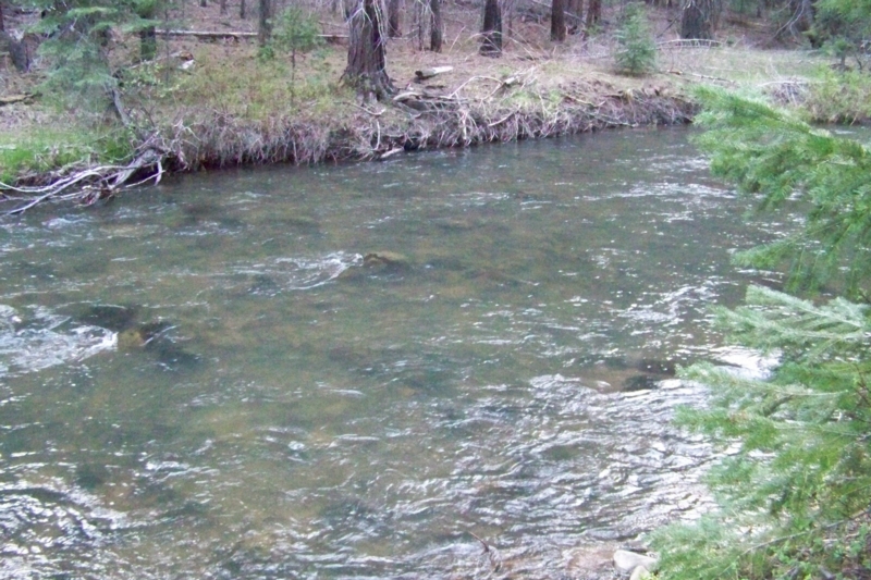
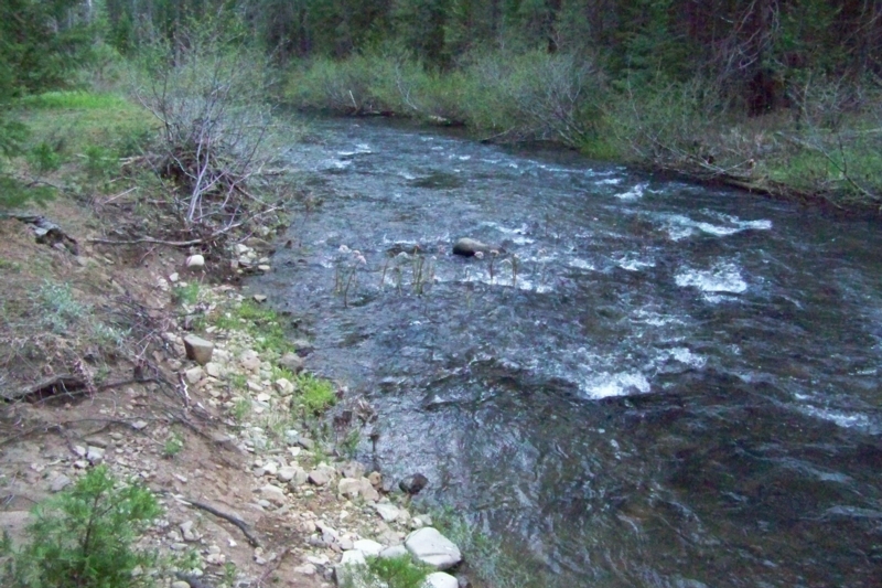
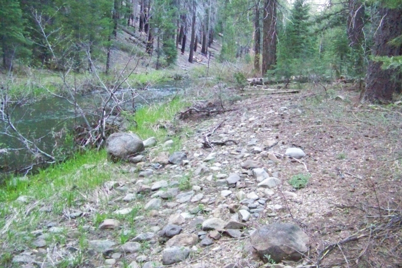
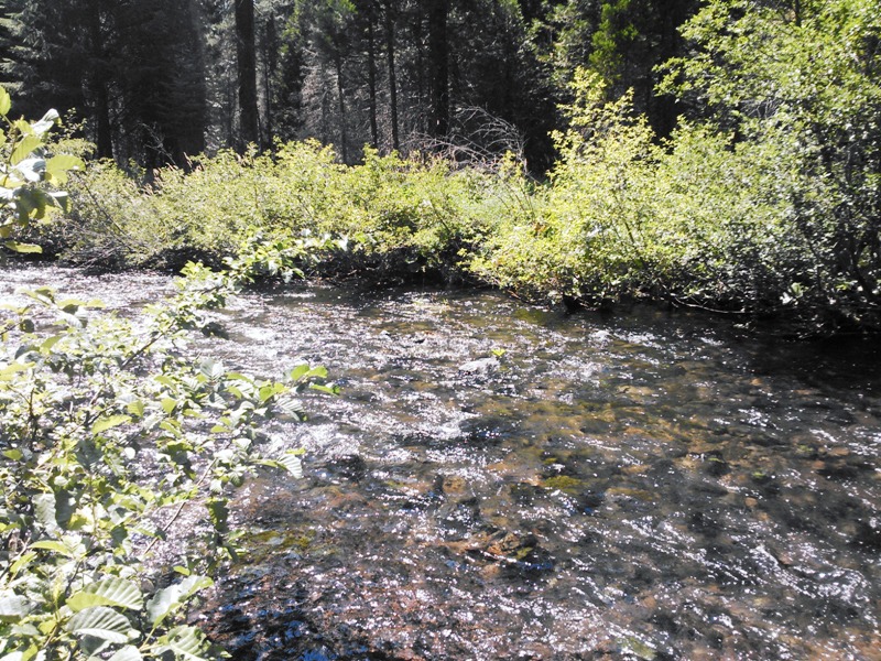
Standard Information The bedrock is Feather River ultramafic belt or serpentine. Mineralized up-drainage rocks include marine and volcanic sediments of the Shoe Fly Formation and undifferentiated Triassic marine and volcanic rocks. The Melones fault or contact with the Feather River ultramafic belt and the Shoe Fly Formation crops out a short distance upstream of the claim. The fault is associated with high-grade gold mineralization here and elsewhere in the northern Sierra. The Shoe Fly Formation is also a huge source of gold in Yellow Creek. Yellow Creek maintains a consistent flow of between 1-3 feet deep nearly all year and has excellent fishing. Excellent foot trails service both side of the river and downed trees serve as bridges across the stream. The creek gently meanders through a straight, south-facing portion of the valley littered with boulders and a few downed trees and logs. Broken and fractured bedrock is exposed in a number of locations and there is a prominent, unexplored clay ledge. Prospectors up stream have found nuggets lying right on top of this clay ledge. Under the clay ledge are old, unexplored gravels. Several locations show the high-bank deposits consist of a thin veneer of recent flood deposits that are underlain by older "unworked" stream deposits. These floods also scoured the old remnant terrace deposits, exposing tree roots that have held onto their gravels for several decades. Older remnant terrace deposits exist higher up the slope and are equally unexplored. The relic flume was breached by the old prospectors to wash these gravel deposits into their sluice boxes. Prospectors armed with metal detectors will be keen on those targets. The snow usually melts off in late May or early June, which is just in time for the opening of dredging season on the creek (last weekend in May to the second week of October. This is a great site for not only families, but experienced prospectors as well. Miners and prospectors will have a life-time of opportunities before this claim is played out. Standard Information The Mellow Yellow placer mining claim is a non-patented federal mining claim. You will need to file appropriate annual paperwork to hold the property every year. (Ask us about our Filing Service to assist you with that!) Annual property tax assessment is approximately $1.12 an acre. BLM Fees & Advanced Geologic Transfer Fees Upon payment, the mineral claim will be transferred via a notarized Quitclaim notice filed in your name with Plumas County and the BLM. Limited payment terms and conditions are available; information available on request. Advanced Geologic has an exceptional annual claim paperwork filing system that will maintain your annual filings for any claim in the United States. Advanced Geologic reminds you that you MUST file annual notices with both the county in which the claim is located AND with the Bureau of Land Management by the appropriate dates. There are NO exceptions and errors will lead to the loss of your claim! Are your claims filed correctly? Advanced Geologic is a professional geologic consulting firm located in Chester, California. We not only sell quality mining claims, but we also help people work their claims. Our experience in resource evaluations, compliance and permitting and claim portfolio management allows our clients and buyers to go for the GOLD. Interested? Send us an email or call. The pictures below were taken in late summer of 2022, a year after the single largest wildfire in the state's history. The Dixie Fire devastated much of Plumas County. These pictures show that new growth is starting to come back and take over the area once again. These claims might be burnt out now, but they will be magnificent once again within a few years. In the meantime, the area is rich for prospecting. We have current clients finding more open ground than ever before. Get out and get that GOLD!
|
|
||||||||||||||||||||||||||||||||||||||||||||||||||||
|
||||||||||||||||||||||||||||||||||||||||||||||||||||||
|
|