|
|
| Mining Claims For Sale | |||||||||||||||||||||||||||||||||||||||||||||||||||||||||||||||||||||||||||||||||||||||||||||||||||||||||||||||||||||
|
Lucky Jack Mine & Chase Angel Mine Kona Gold |
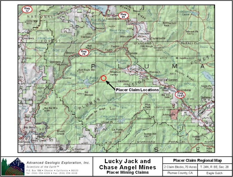
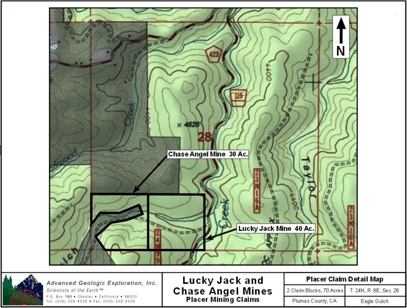
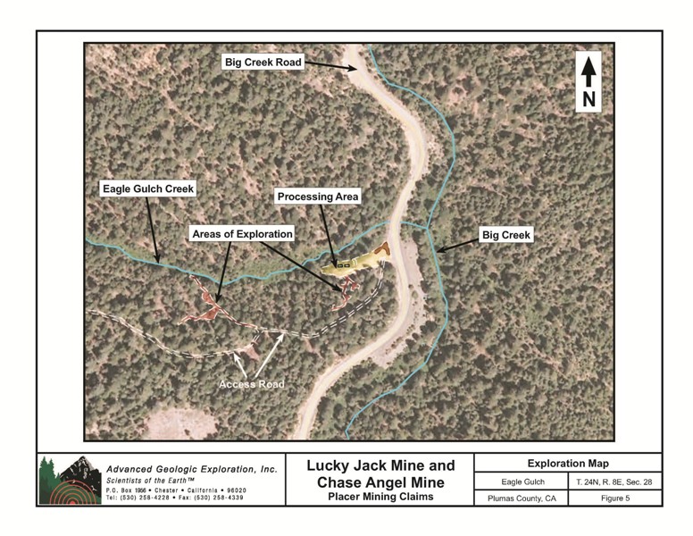
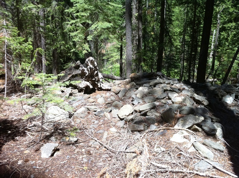
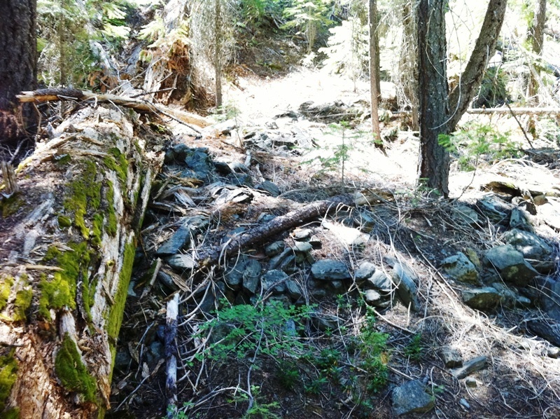
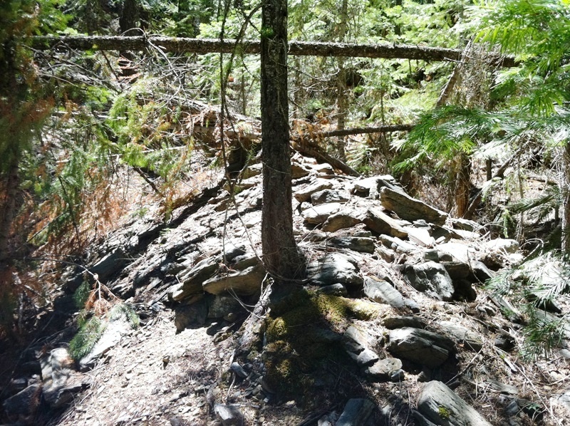
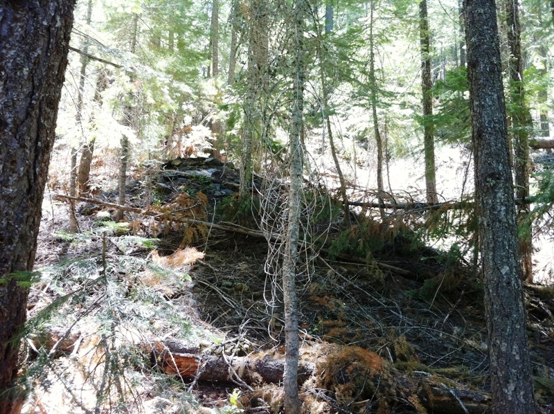
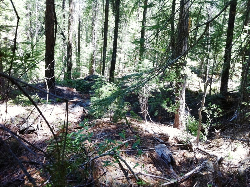
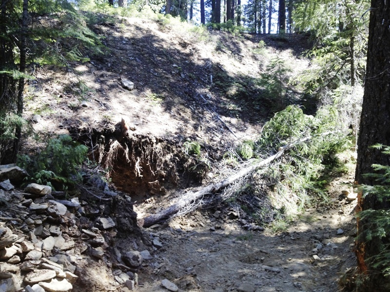
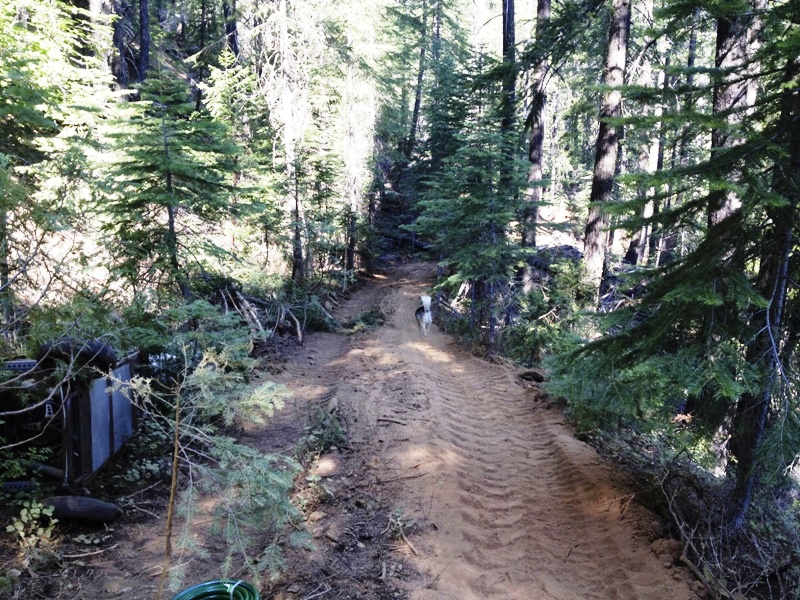
**Formerly permitted for Exploration Testing** Lucky Jack Mine & Chase Angel Mine Placer Mining Claims ±70 Acres $50,000 Our 70-acre Lucky Jack Mine & Chase Angel Mine placer mining claims are located a few miles northwest of Quincy on Eagle Gulch, a tributary to Big Creek. This drainage has had abundant placer mining history from both a bedrock and older Tertiary gravel deposits from the proto-Feather River. Tailing piles, old drift tunnels and small digs dot the claim, giving rise to the richness of the remnant gravels. Some of the amenities are:
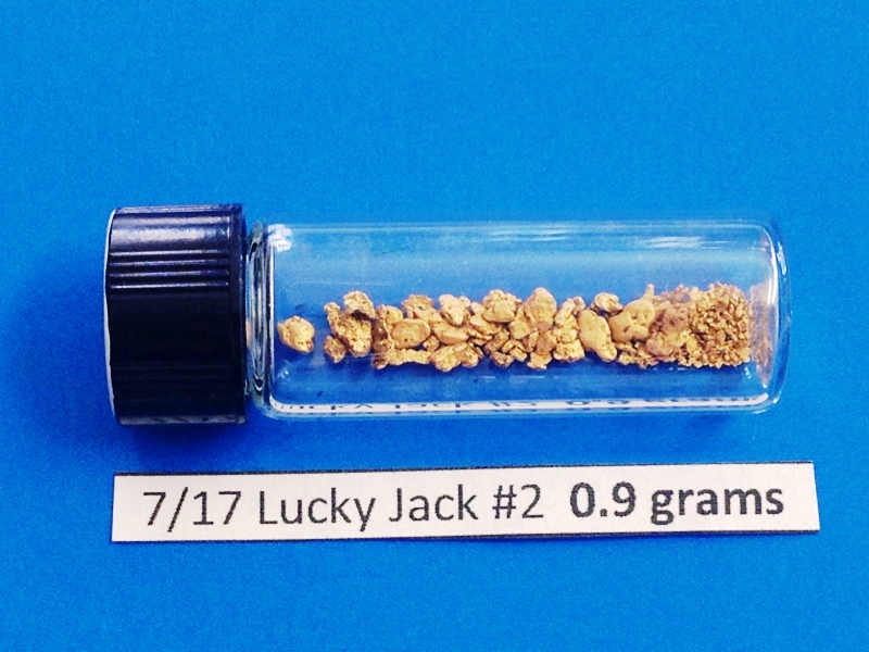
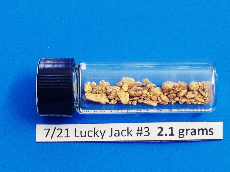
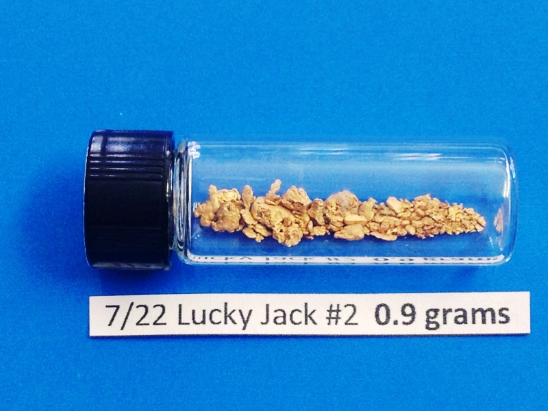
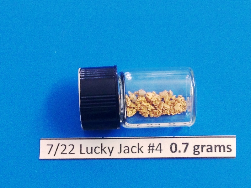
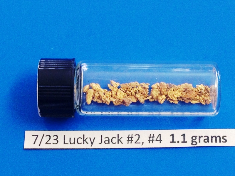
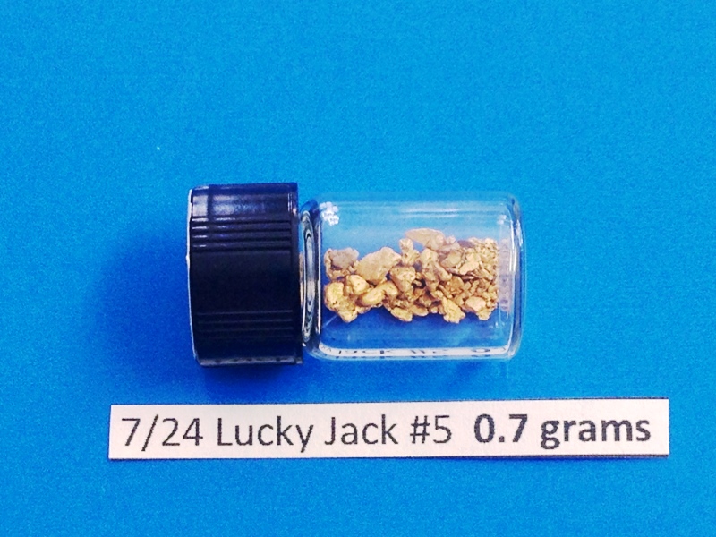
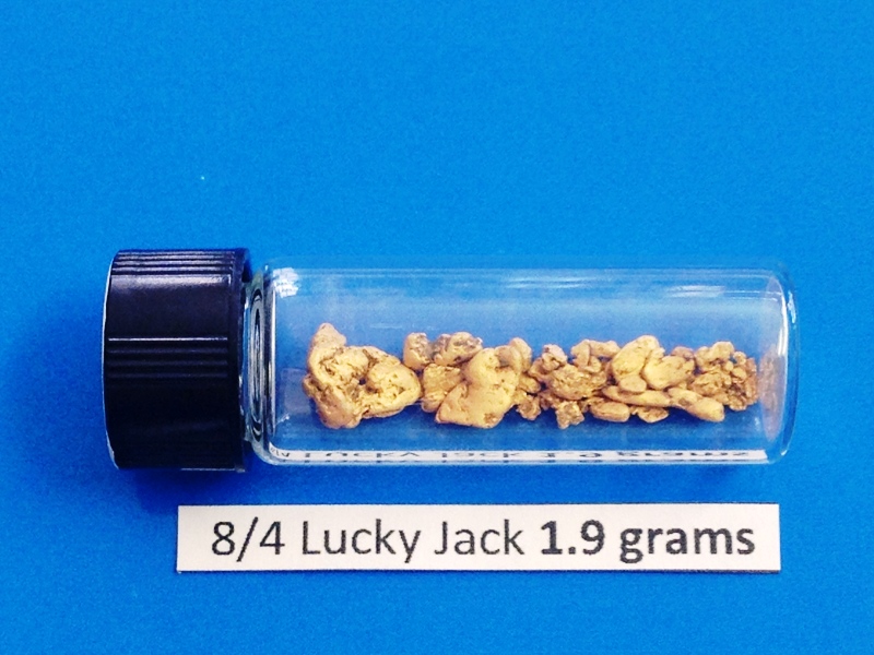
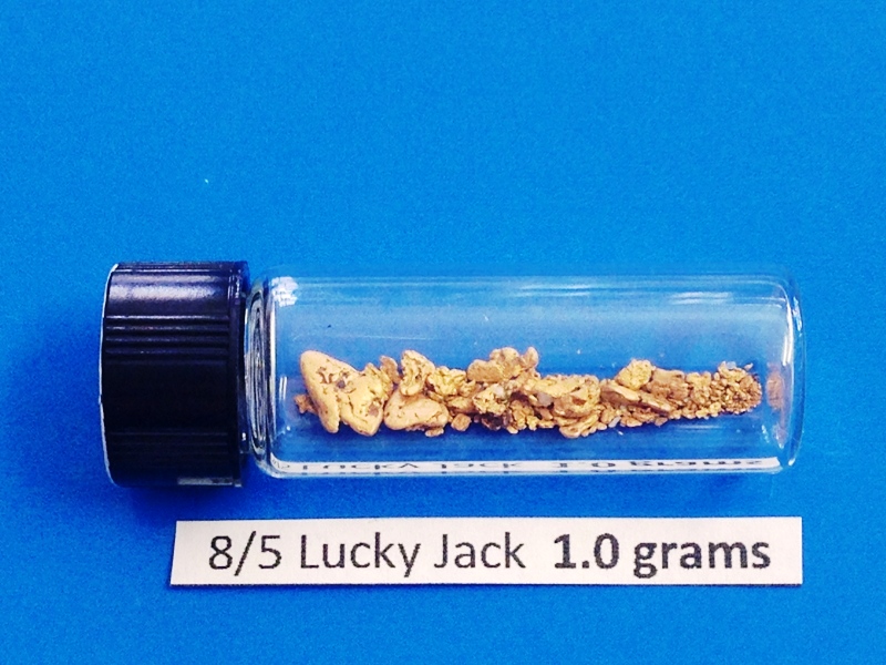
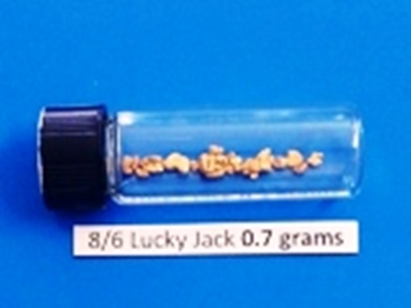
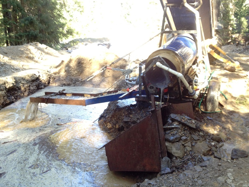
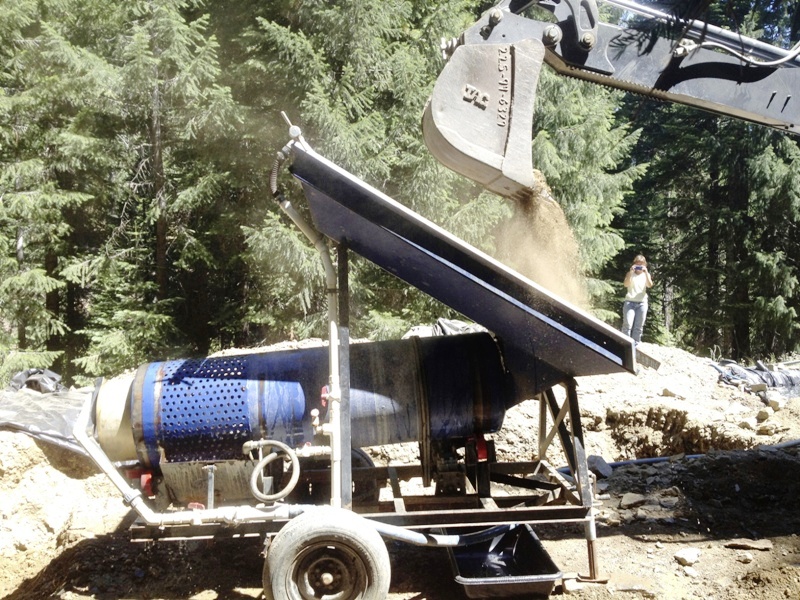
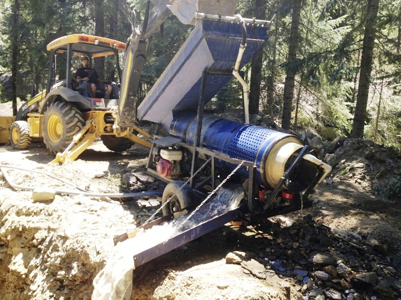
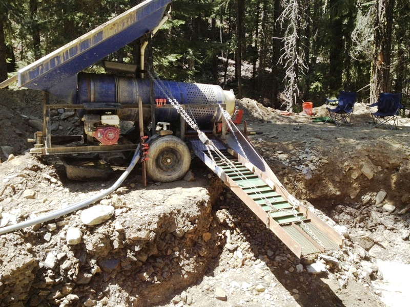
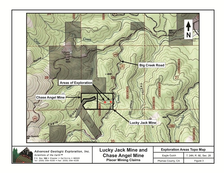
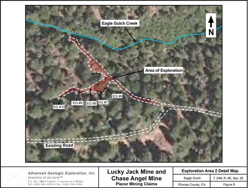
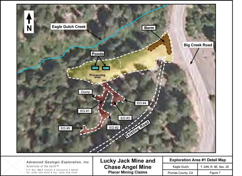
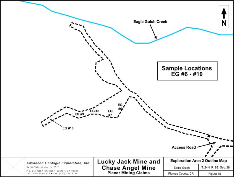
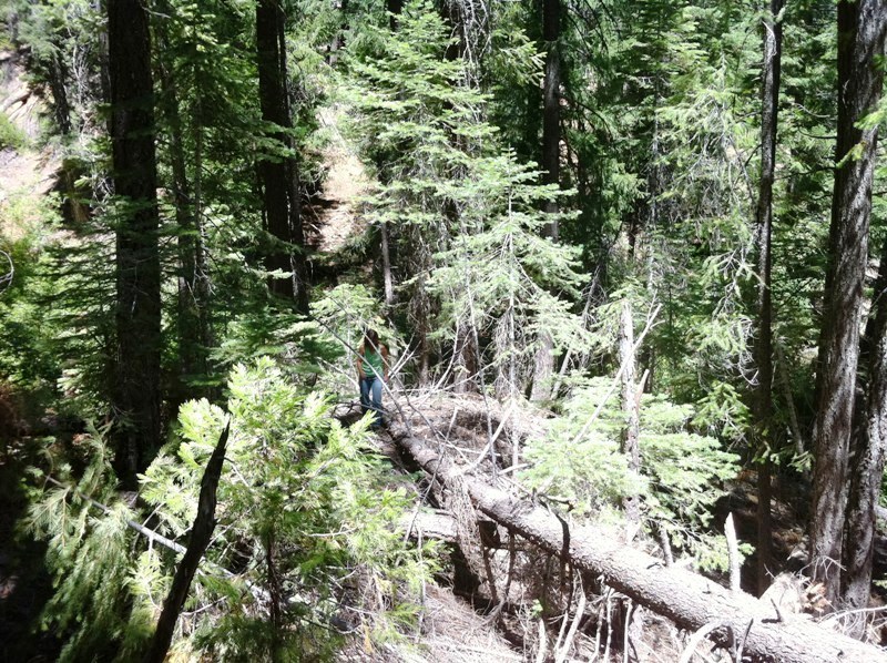
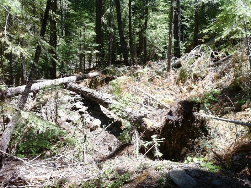
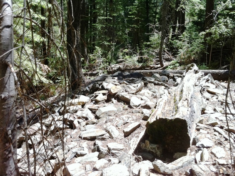
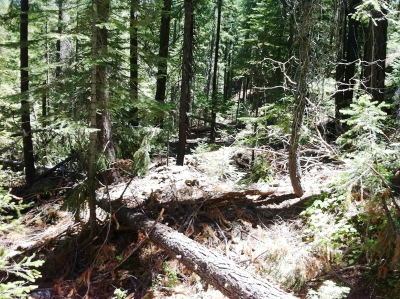
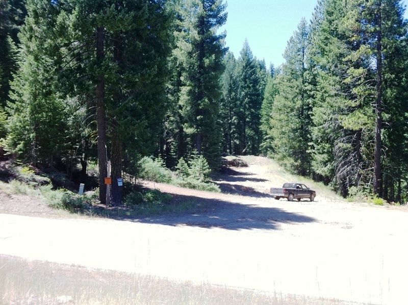
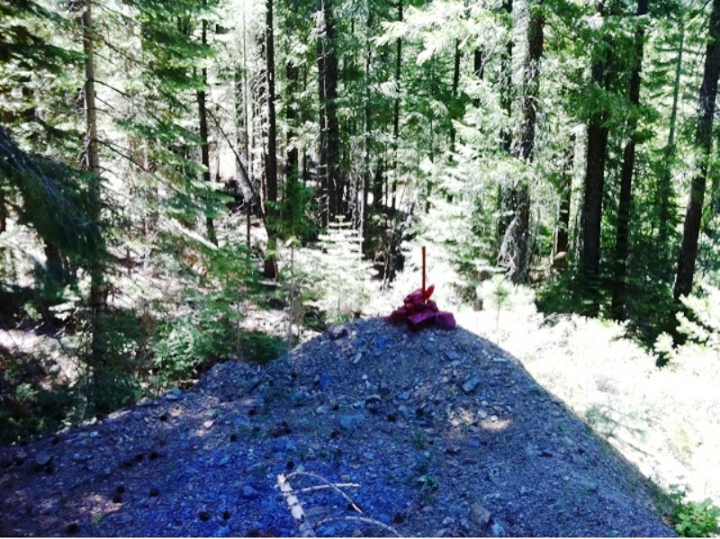
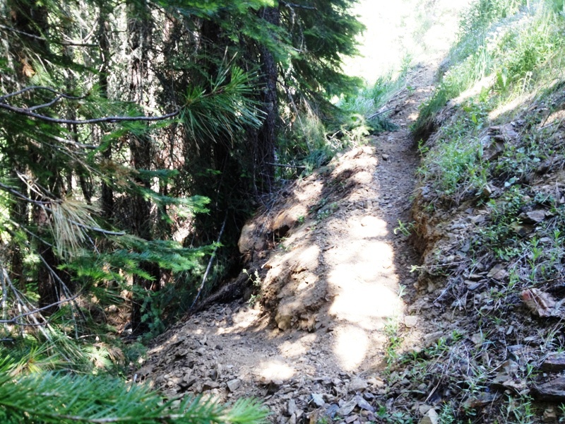
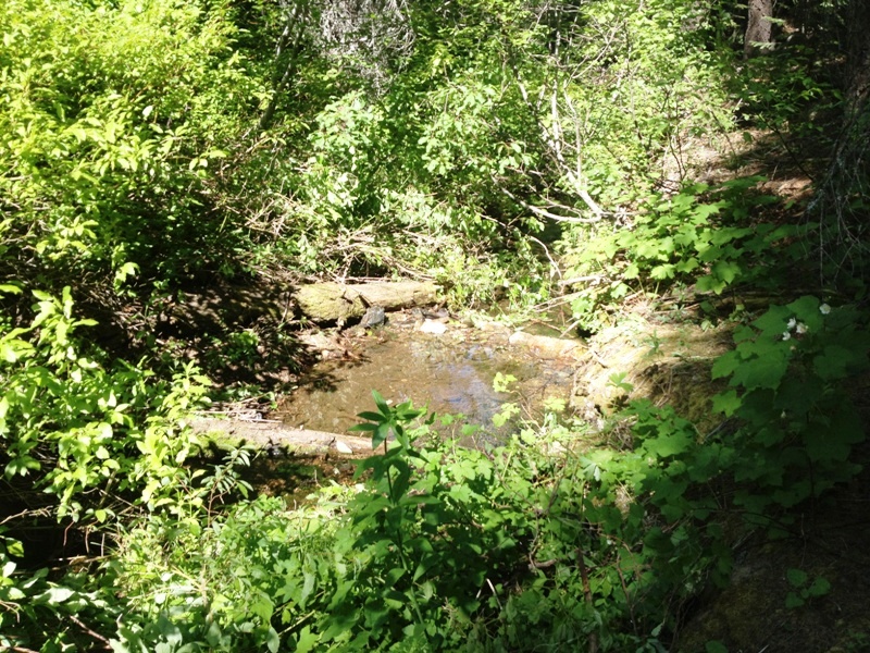
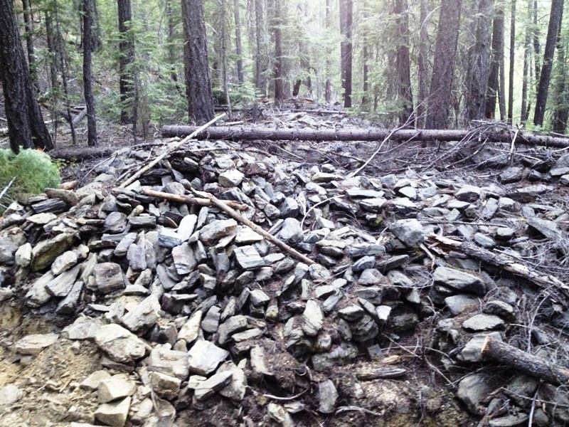
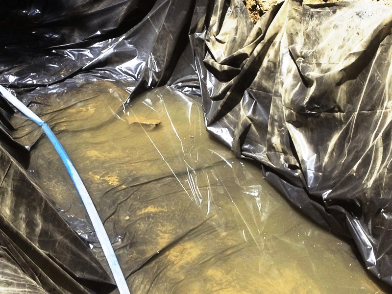
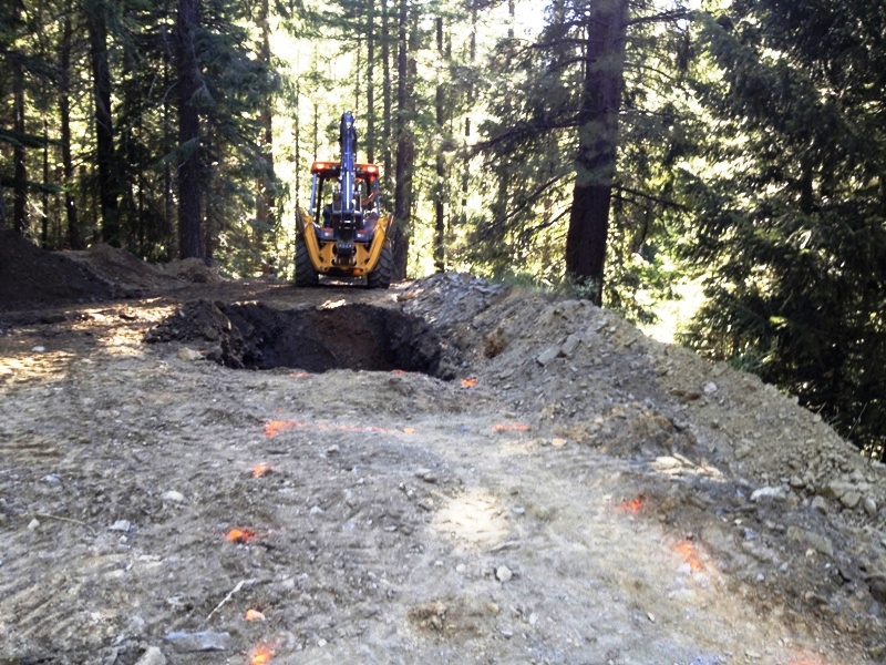
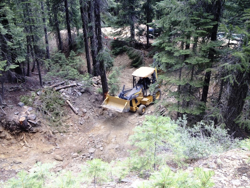
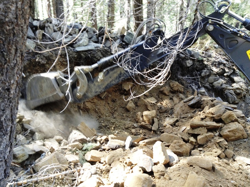
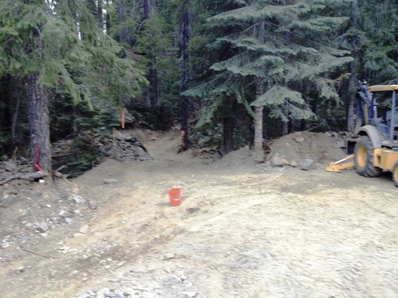
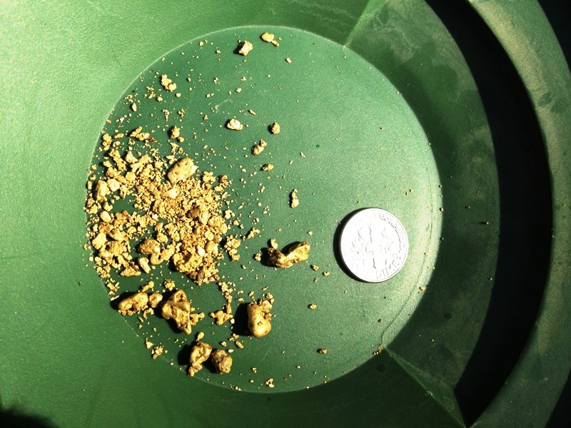
Eagle Gulch drains the western side of the American Valley graben, a down-dropped valley caused by the Mohawk-Almanor Fault Zone. The proto-Feather River followed the depression northwest, down-cutting in stages and leaving behind gravel benches on both sides of the valley. Several other Tertiary gravel channels also drained off the rich bedrock deposits associated with the Bucks Lake pluton. Tributary drainages bisected and eroded the gravels, washing them down onto the lower terrace surfaces and the current streams, concentrating the gold in their deposits. Glaciers played an important role in carving out the valley and pushing the gravels down valley. The large remnant terrace deposits upslope from Eagle Gulch Creek make the Lucky Jack Mine & Chase Angel Mine placer mining claims some of the richest in our portfolio. Eagle Gulch runs all year and is fed by springs and snow melt high above the claim. These pictures were taken in September and show a pretty good flow in the creek even then. There are a number of gravel deposits, tailing piles, pools and ledges that will provide many exploration opportunities. The elevation is relatively high, roughly 4,400 ft msl, so the snow melts off in late spring. Depending on the winter, you can begin mining on this claim in April or May. Therefore, these are excellent claims to start early in the season, then move up in elevation to another claim as the snow melts and roads open. The stream is shallow, hence, the prospecting skills required are recreation to intermediate. Advanced miners who like to tackle the smaller creeks or want to set up a trommel operation will equally enjoy these claims' abundant opportunities. High bankers will have a field day with all the opportunities adjacent to the creek. Metal detectors should be aware that large nuggets have been found in the drainage. These are excellent claims for a small trommel operation. Multiple areas should be evaluated before setting up a more permanent processing plant. The gravels are thick and could provide for generations of successful trommel mining. There is good access to the creek at many locations. Miners and prospectors will have a life-time of opportunities before these claims are played out. Quincy is only a few miles away and provides good amenities, such as restaurants and accommodations. Quincy also has a modest nightlife, a movie theater, a Safeway and an Ace Hardware, as well as a series of motels and B&Bs. Sorry, no Wal-Mart. Quincy is also the county seat for the county, so you can easily file your paperwork on your way through to your claim. The National Forest Service District is also close and they are friendly and helpful. 2012 Exploration and Testing In 2011, Advanced Geologic secured a mineral Exploration and Testing Plan of Operation Permit from the National Forest Service to operate a backhoe and trommel to test the deposits for gold. In the Spring of 2012, the permit was accepted, a reclamation bond was posted and the schedule to conduct the plan was prepared. Advanced Geologic conducted the exploration and testing activities in July of 2012. The processing area was created and test pits were excavated. The maps on this page show the areas tested and the gold recovered. In summary, the exploration activities proved to be successful and gold was recovered. The activities would have continued but the monthly rental contract for the backhoe expired. The highlights are as follows:
This was a very productive exploration project and much was learned about the process necessary to make it economic. Season: April - October. Mountain mining conditions. Proven gold producer. Click the Google Fly To Earth to view the Lucky Jack Mine and the claim boundaries. Google map it for directions to claim. Estimated GPS Coordinates:
Click the Google Fly To Earth to view the Chase Angel Mine and the claim boundaries. Google map it for directions to claim. Estimated GPS Coordinates:
Standard Information The Location Notice for the Lucky Jack Mine & Chase Angel Mine placer mining claims have been recorded at the Plumas County Recorder's Office (see registered number above) and the Bureau of Land Management. They are non-patented federal mining claims. Paperwork is current and you will need to file appropriate paperwork to hold the properties every year thereafter. Annual tax assessment on the properties are approximately $1.12 an acre. BLM Fees & Advanced Geologic Transfer Fees Upon payment, the mineral claims will be transferred via a notarized Quitclaim notice filed in your name with Plumas County and the BLM. Limited payment terms and conditions are available; information available on request. Advanced Geologic has an exceptional annual claim paperwork filing system that will maintain your annual filings for any claim in the United States. Advanced Geologic reminds you that you MUST file annual notices with both the county in which the claim is located AND with the Bureau of Land Management by the appropriate dates. There are NO exceptions and errors will lead to the loss of your claim! Are your claims filed correctly? Advanced Geologic is a professional geologic consulting firm located in Chester, California. We not only sell quality mining claims, but we also help people work their claims. Our experience in resource evaluations, compliance and permitting and claim portfolio management allows our clients and buyers to go for the GOLD. Interested? Send us an email or call.
|
|
|||||||||||||||||||||||||||||||||||||||||||||||||||||||||||||||||||||||||||||||||||||||||||||||||||||||||||||||||||
|
|
|||||||||||||||||||||||||||||||||||||||||||||||||||||||||||||||||||||||||||||||||||||||||||||||||||||||||||||||||||||
|
|


.jpg)
.jpg)