|
|
| Placer Mining Claims For Sale | ||||||||||||||||||||||||||||||||||||
|
|
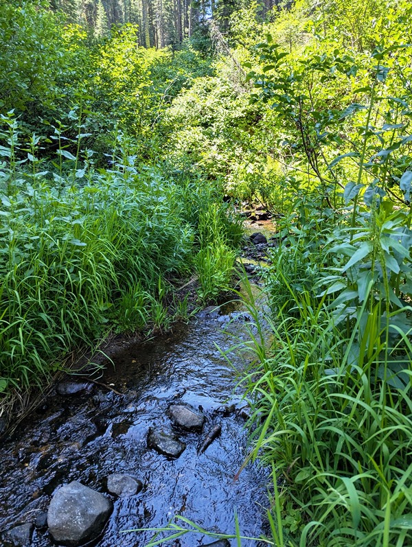
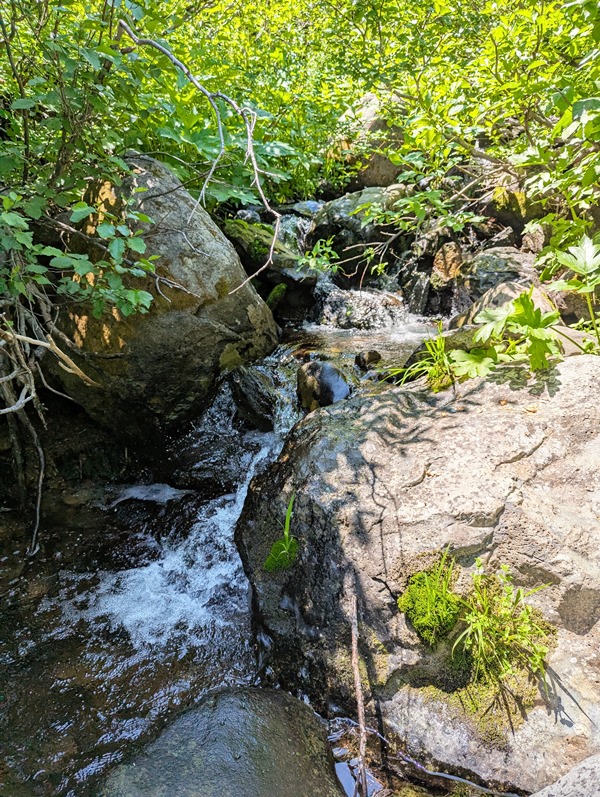
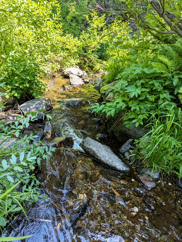
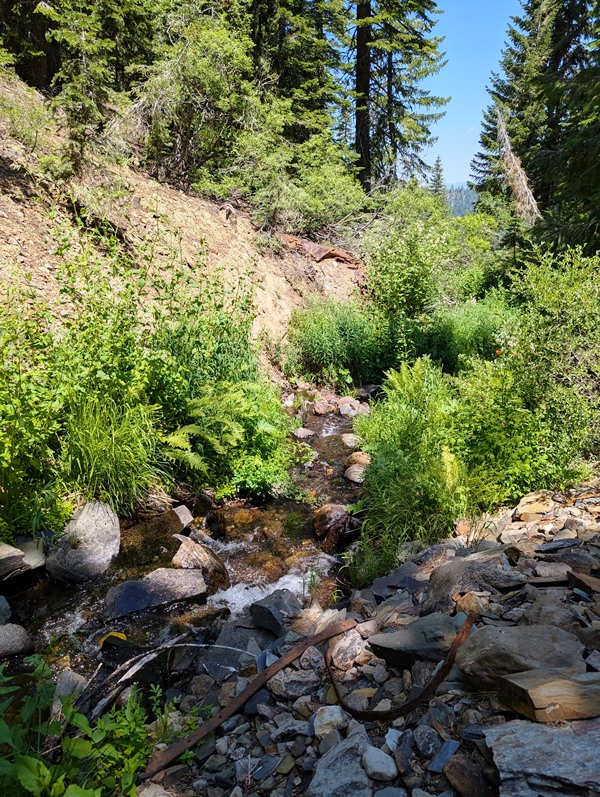
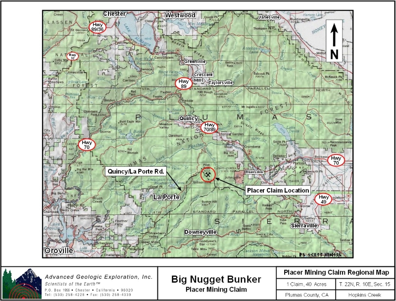
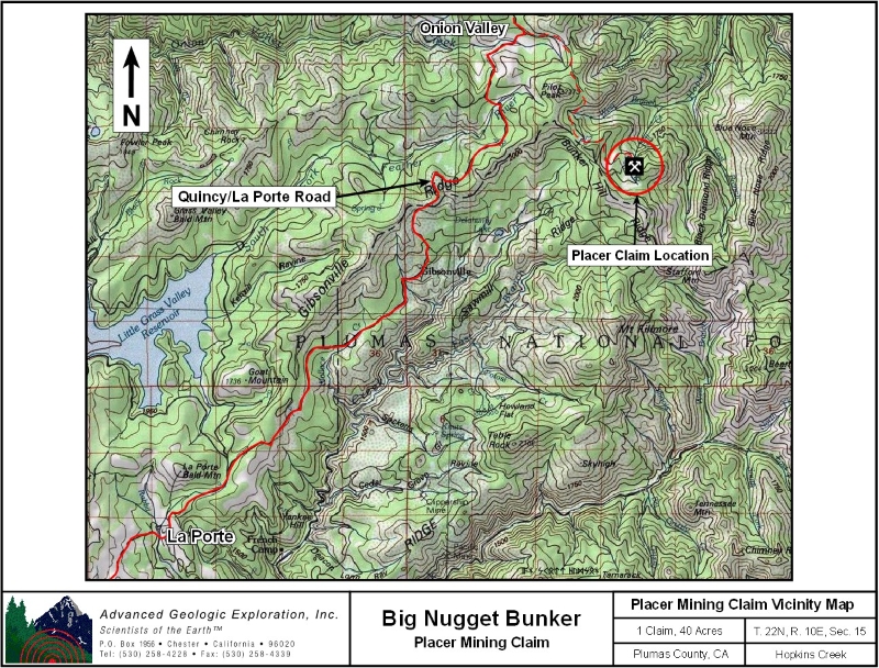
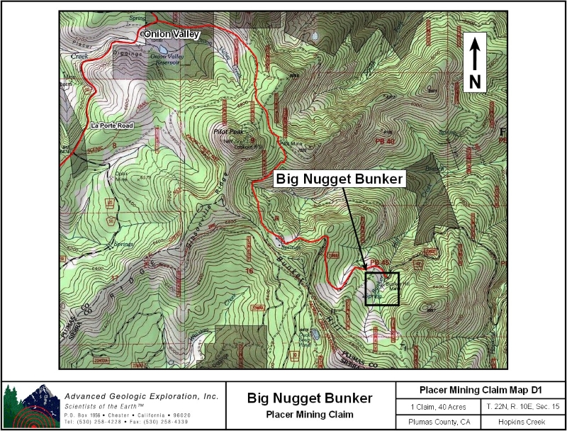
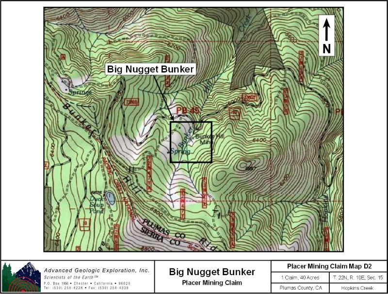
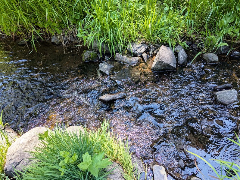
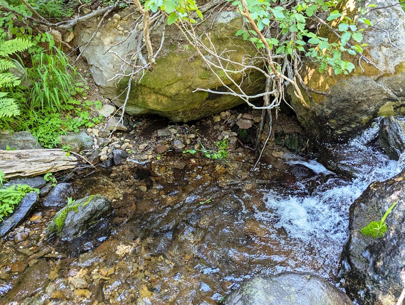
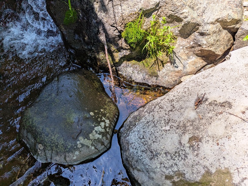
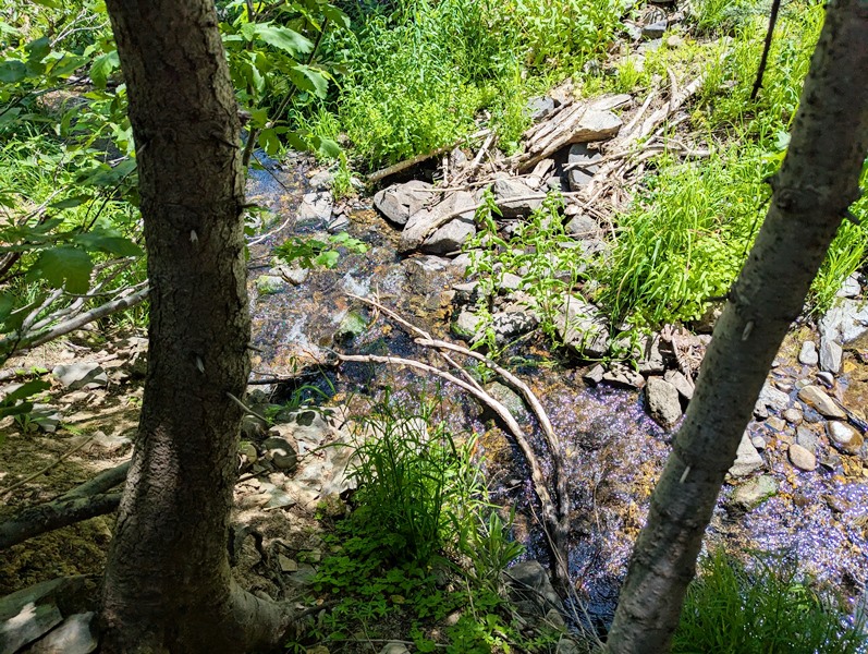
Big Nugget Bunker ±40 Acres Price: $10,000
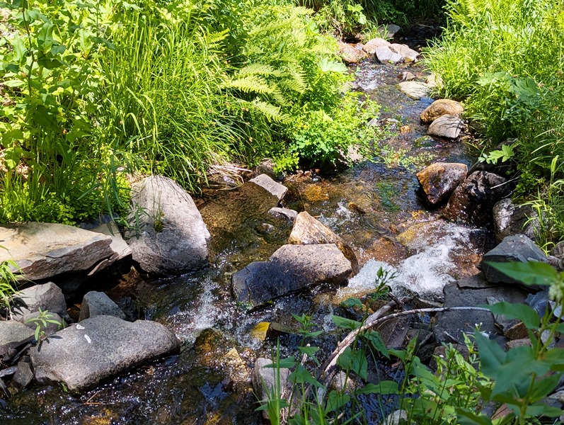
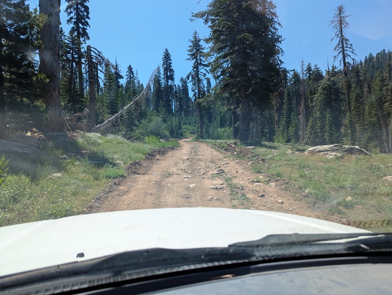
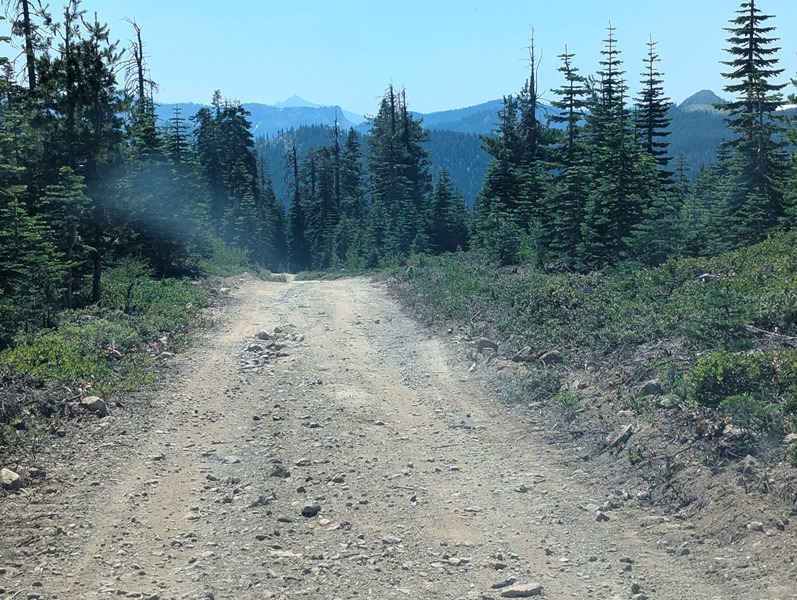
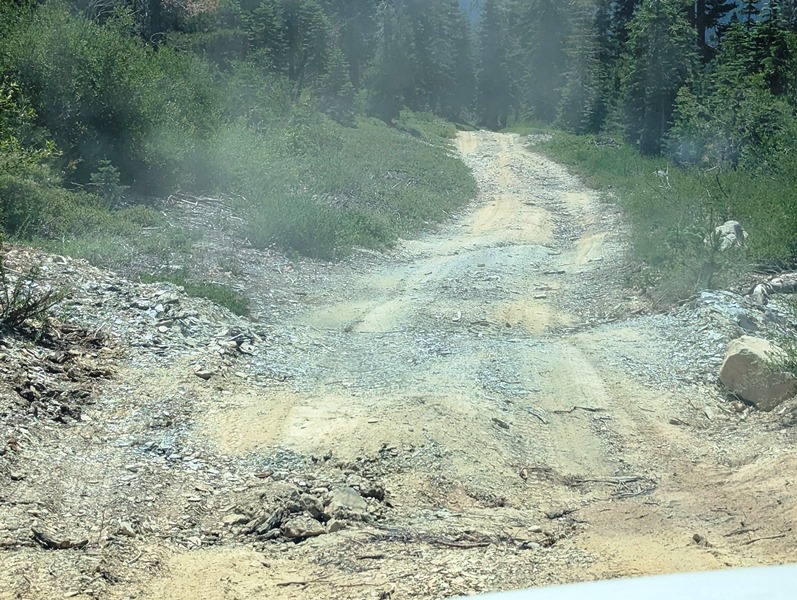
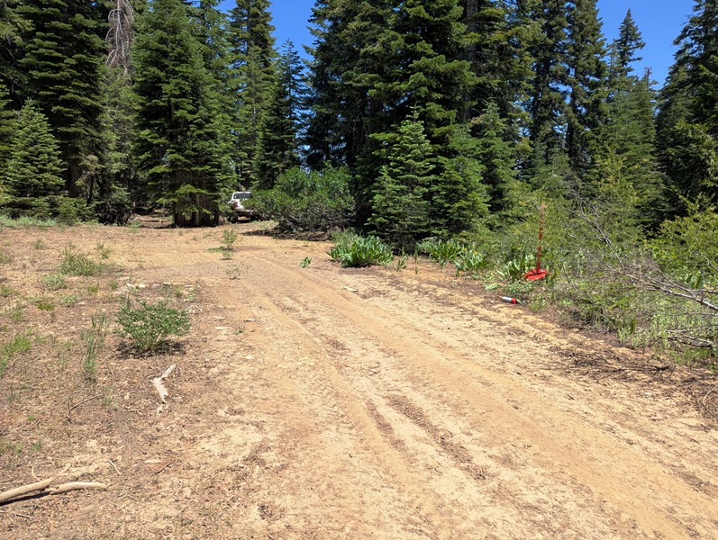
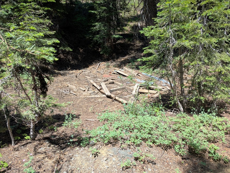
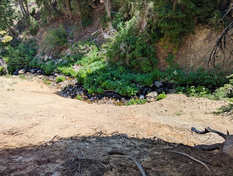
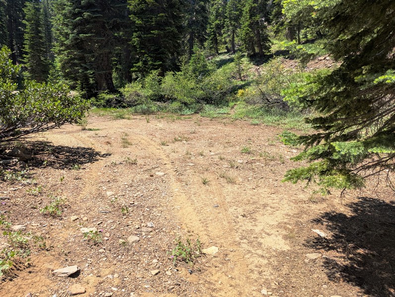
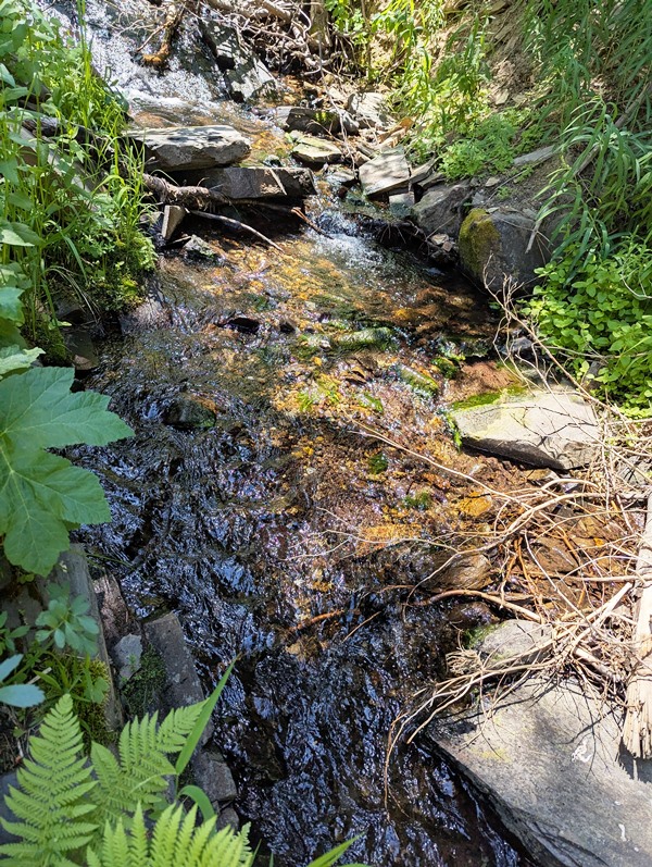
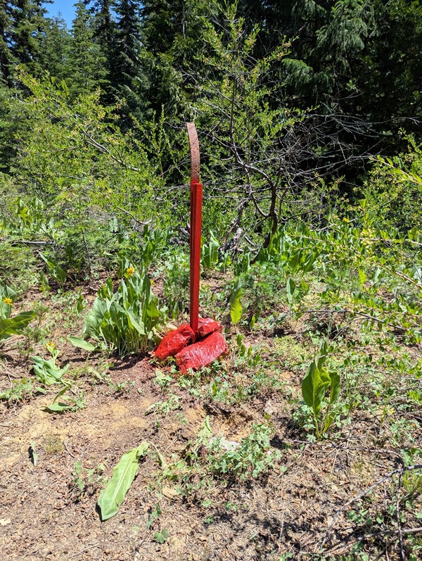
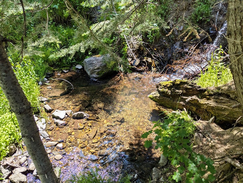
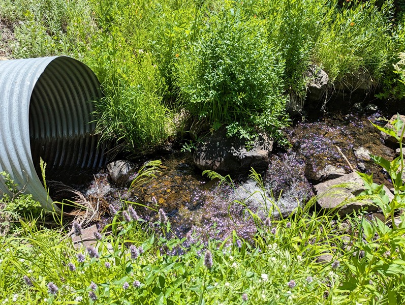
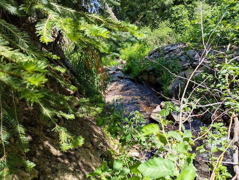
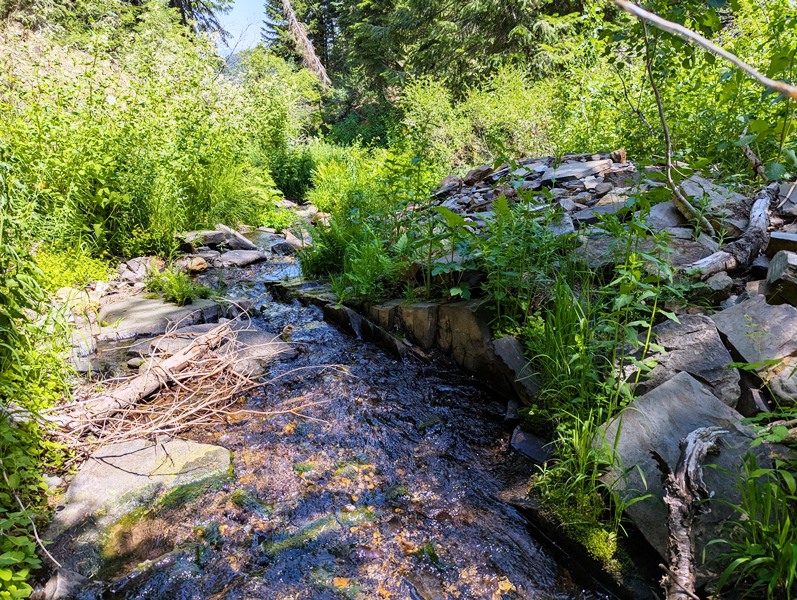
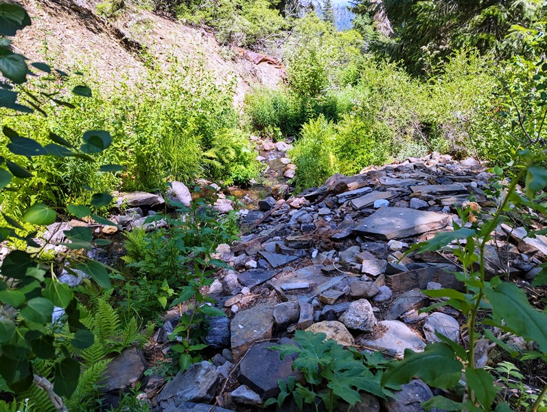
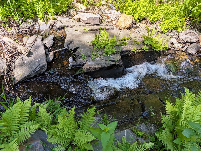
Location: This is an extensive gold-bearing region in southern Plumas County. It is contiguous with the Quincy district to the north and the Gibsonville district in Sierra County to the south. It includes the Last Chance, Sawmill Flat, Monitor Flat, Onion Valley, Harrison Flat, Blue Nose Mountain, and Nelson Point areas. The district was named in 1850 for a pit that was dug for the use of a whipsaw. The region was extensively mined during the early days and has been intermittently prospected since. In recent years there has been some placer mining at Monitor Flat. Skin divers have prospected in the Middle Fork of the Feather River. Geology: The east portion of the district is underlain by slate, schist, and quartzite of the Calaveras Formation. Also there are several limestone lenses. To the west the district is underlain by serpentine and amphibolite. The ridges are capped by Tertiary andesite and basalt. Ore Deposits: The Tertiary gravels are largely quartz-rich, and in places, rich in gold. At Sawpit Flat the gravels are part of the Richmond Hill-Onion Hill channel, while those to the east at Bunker Hill and Blue Nose Mountain are in the northeast end of the famous La Porte channel. A number of gold quartz veins are in the district, some of which are part of a vein system that extends along the contract zone between serpentine and schist and slate. Click here Google Earth Fly To and see an aerial photo of Big Nugget Bunker and the claim boundaries. Google map it for directions to claim. Estimated GPS Coordinates:
Standard Information The Big Nugger Bunker placer mining claim is a non-patented federal mining claim. You will need to file appropriate annual paperwork to hold the property every year. (Ask us about our Filing Service to assist you with that!) Annual property tax assessment is approximately $1.12 an acre. BLM Fees & Advanced Geologic Transfer Fees Upon payment, the mineral claim will be transferred via a notarized Quitclaim notice filed in your name with Plumas County and the BLM. Limited payment terms and conditions are available; information available on request. Advanced Geologic has an exceptional annual claim paperwork filing system that will maintain your annual filings for any claim in the United States. Advanced Geologic reminds you that you MUST file annual notices with both the county in which the claim is located AND with the Bureau of Land Management by the appropriate dates. There are NO exceptions and errors will lead to the loss of your claim! Are your claims filed correctly? Advanced Geologic is a professional geologic consulting firm located in Chester, California. We not only sell quality mining claims, but we also help people work their claims. Our experience in resource evaluations, compliance and permitting and claim portfolio management allows our clients and buyers to go for the GOLD. Interested? Send us an email or call.
. |
|
||||||||||||||||||||||||||||||||||
|
|
||||||||||||||||||||||||||||||||||||
|
|