|
|
| Placer Mining Claims For Sale | ||||||||||||||||||||||||||||||
|
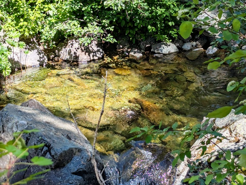
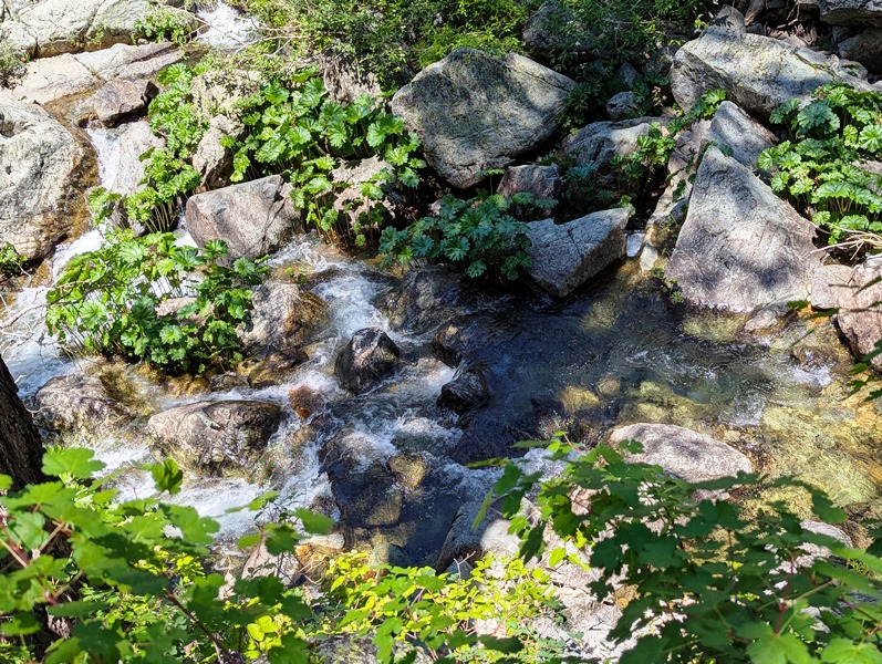
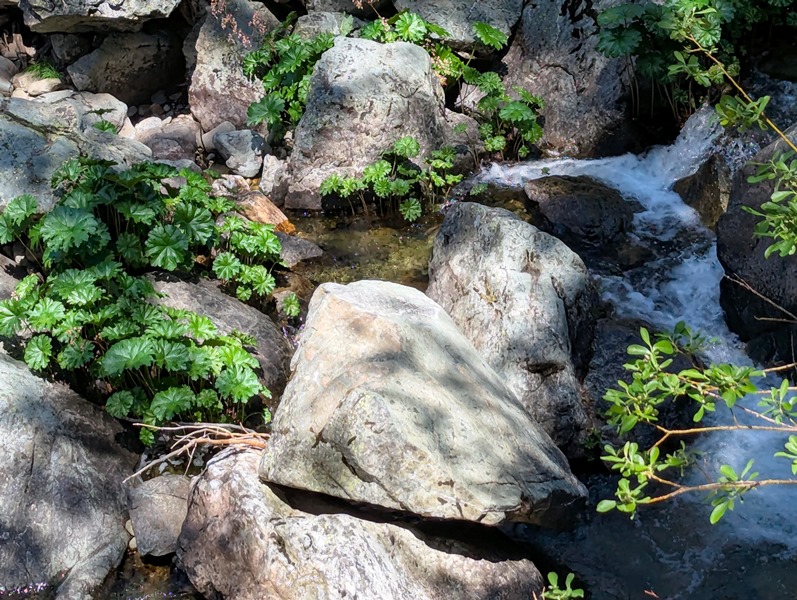
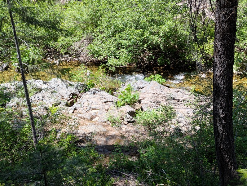
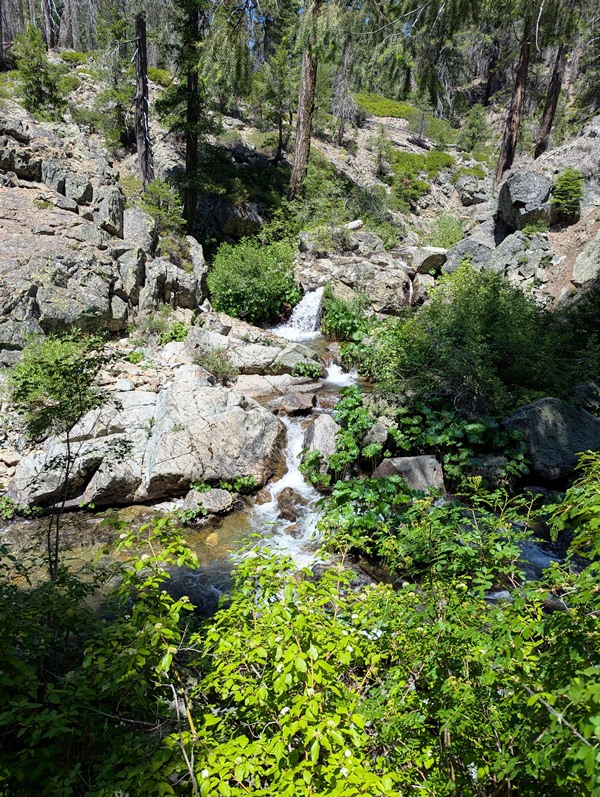
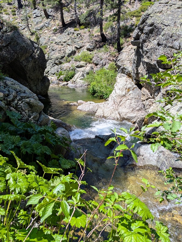
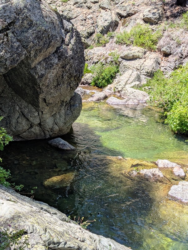
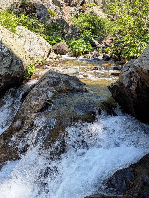
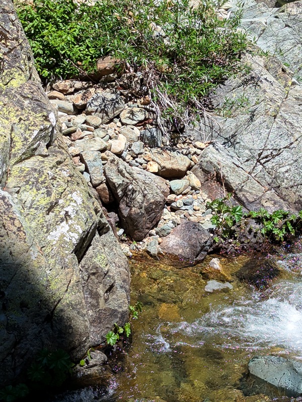
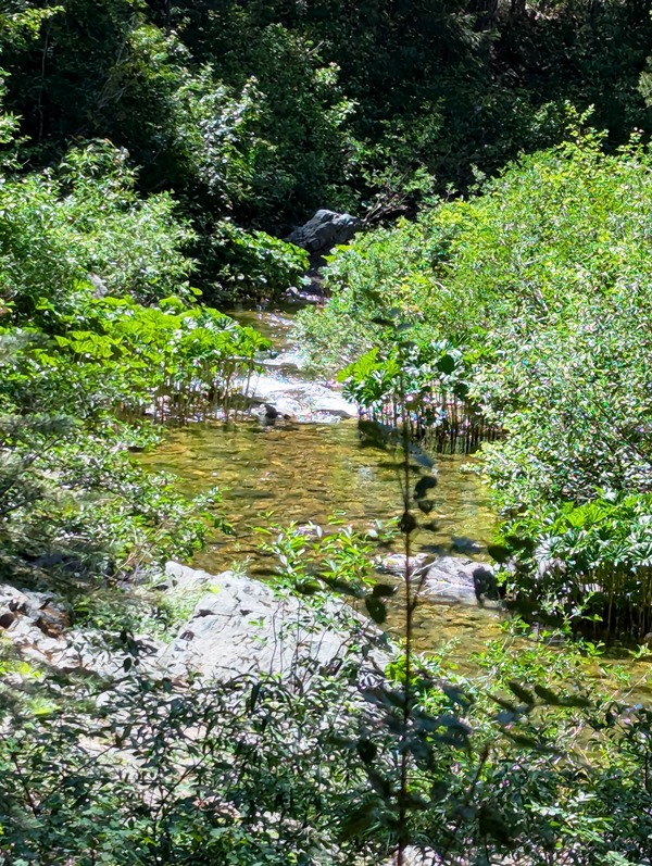
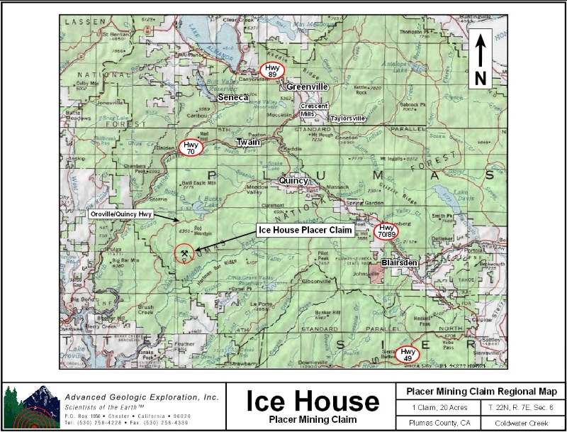
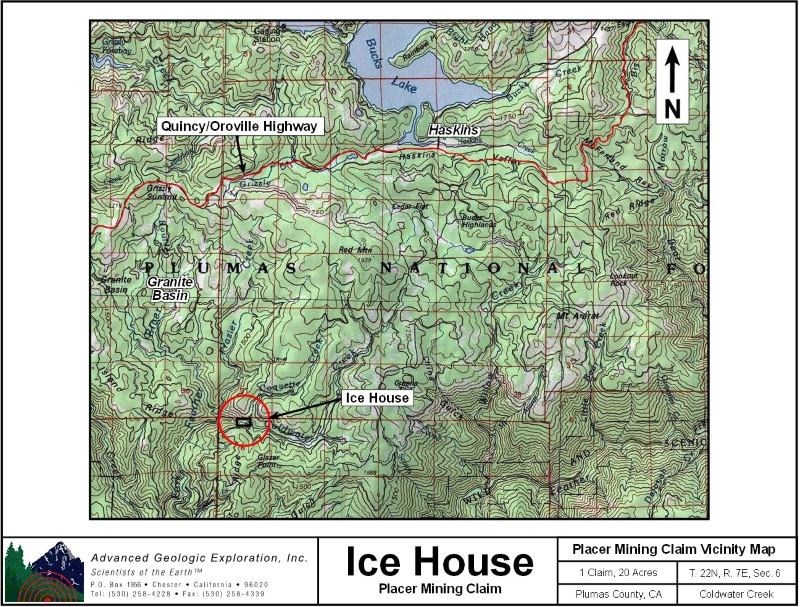
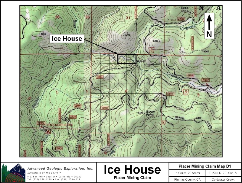
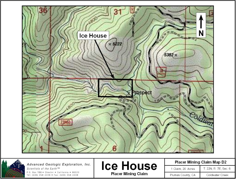
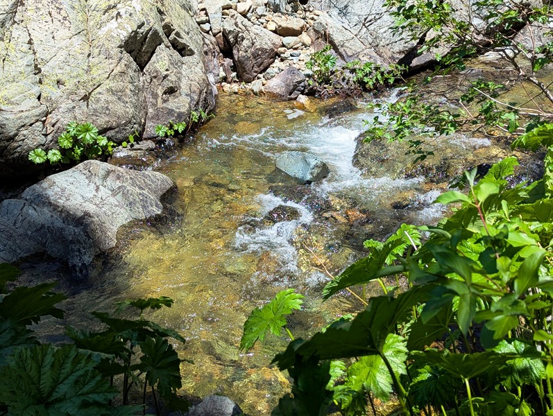
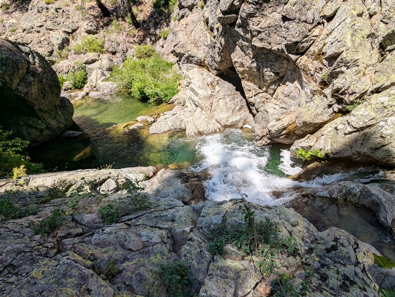
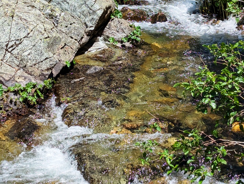
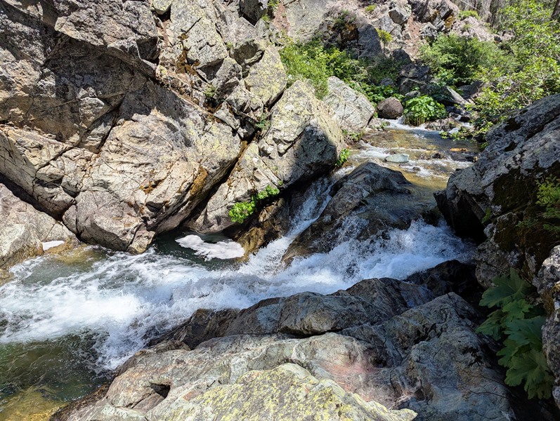
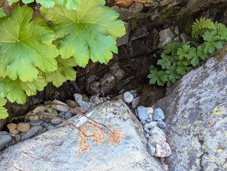
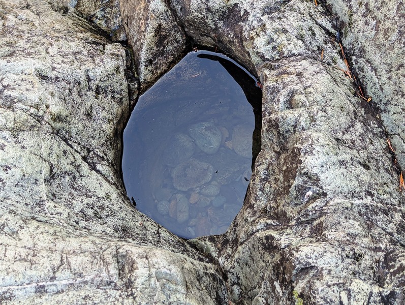
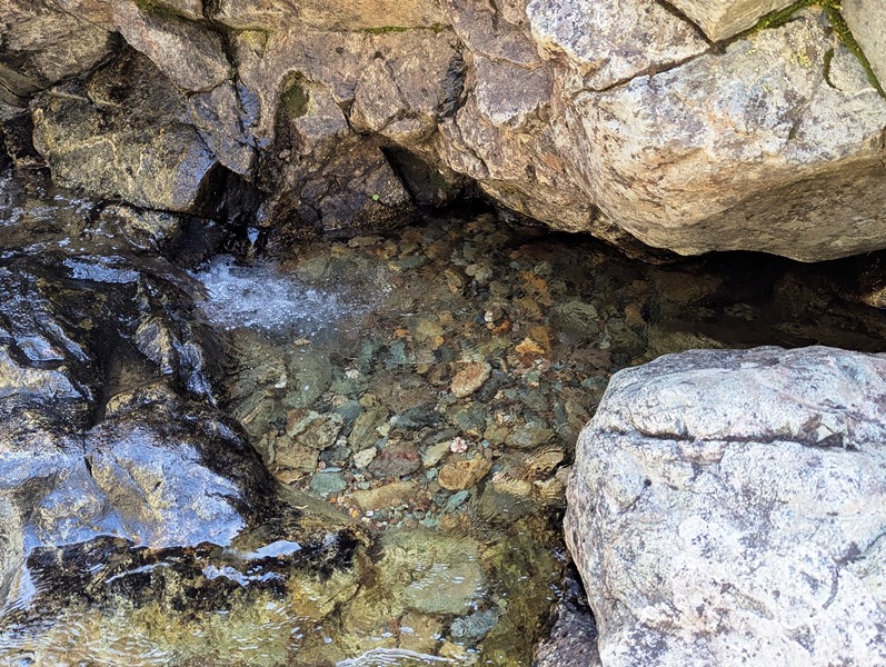
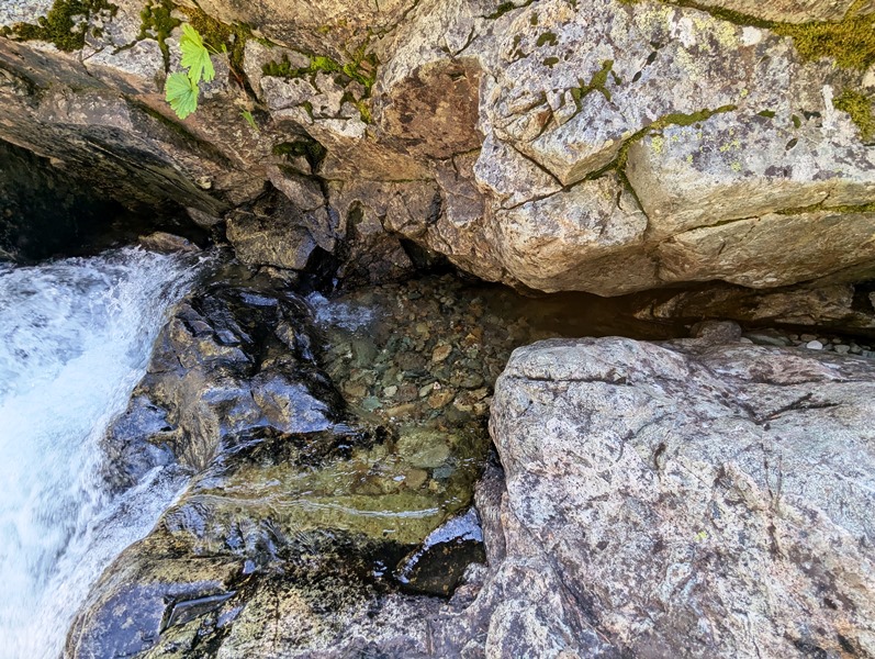
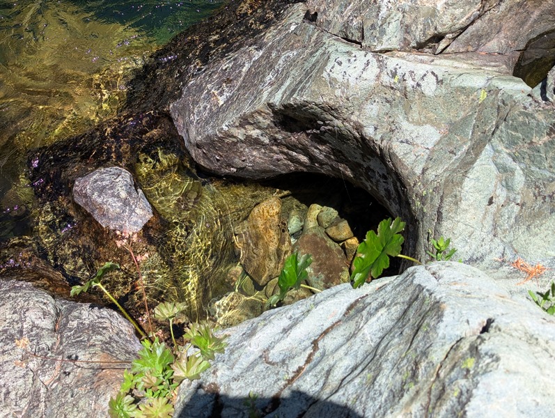
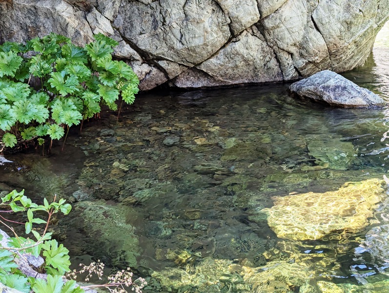
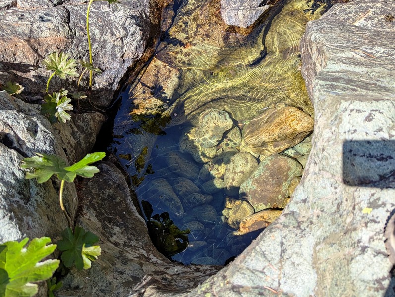
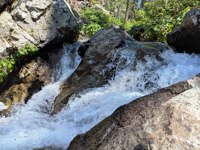
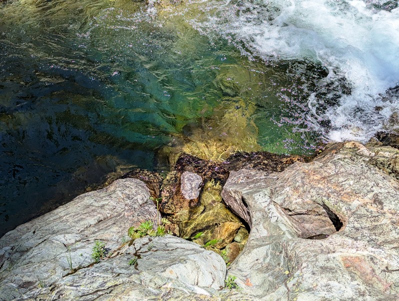
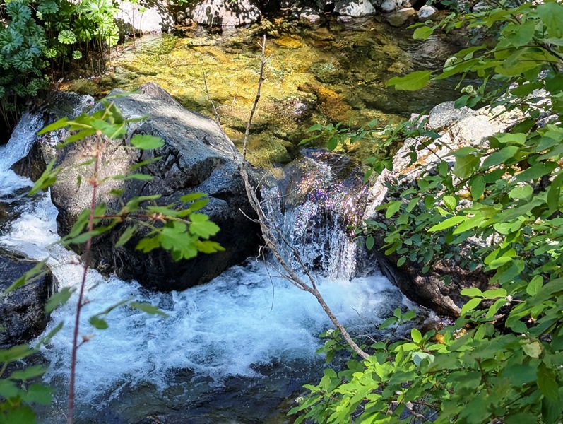
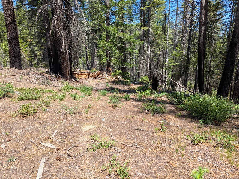
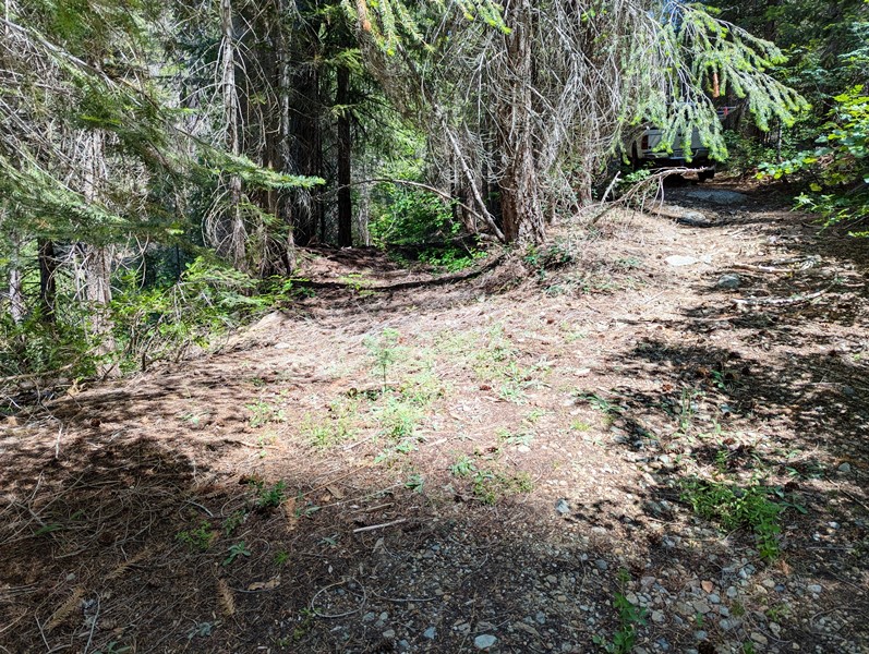
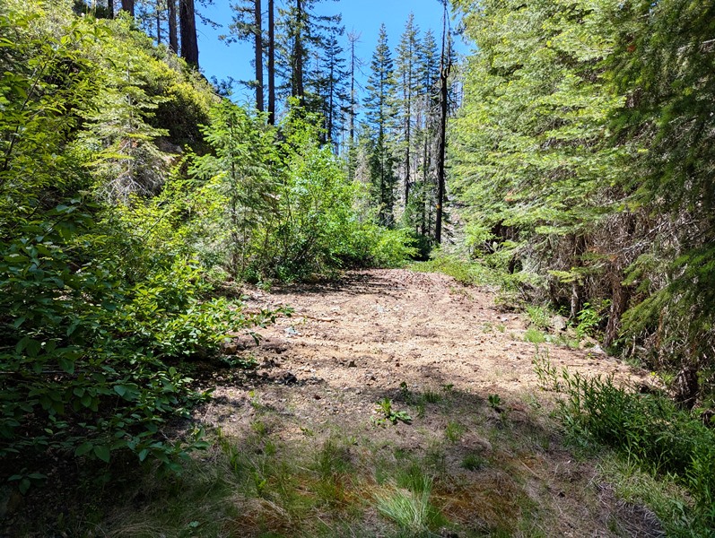
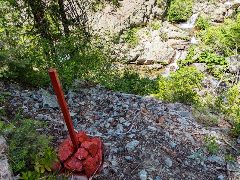
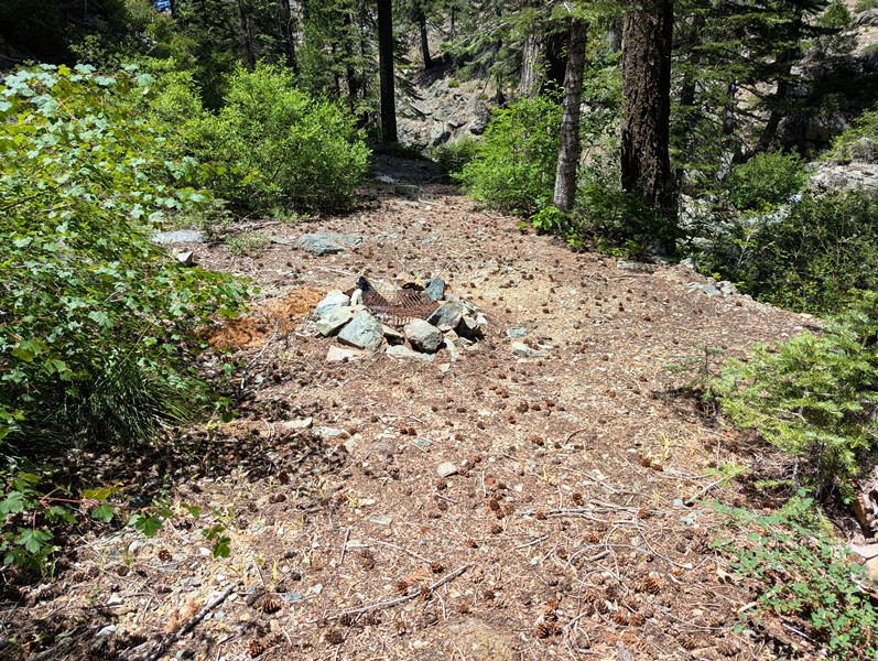
Ice House ±20 Acres Price: $12,000 Geology: Several granitic stocks are intrusive into slate, quartzite and limestone of the Claveras Formation (Carboniferous to Permian) and amphibolite. Exfoliaiton has formed several round granitic domes, of which Bald Rock is the most prominent. Serpentine, some Tertiary basalt and a few patches of Tertiary auriferous gravel are present. The veins are narrow, but the ore bodies often are rich. Pyrite and galena are abundant. Work Cited: “Gold Districts of The Icehouse is an exceptional placer mining claim is located on Coldwater Creek at the junction of Coquette Creek. Both Coldwater and Coquette Creeks drain a large upland area, which include gold-bearing quartz veins and auriferous Tertiary gravels. Both creeks maintain flow all year making this an ideal claim for sniping and dredging. The claim occupies an east-west trend of Coldwater Creek, which provides cool shade during the summer months. It has its own access road to the creek’s edge, which is uncommon on Coldwater Creek. It is one of the last claims before Coldwater Creek drops into a steep canyon that leads to the Middle Fork of the Feather River. There are a number of Forest Service Roads that lead to the claim from the Bucks Lake (Oroville-Quincy) Highway. The shortest way is via Forest Service 18 Road (23N18) from Haskins Resort at Bucks Lake. This road will take you over Red Mountain then follows the East Branch of Coldwater Creek, past the junction of the West Branch and Ohio Ravine. Just before Arkansas Ravine, the 18 Road crosses Coldwater Creek to put you on the north side of the drainage. In a few hundred yards, Forest Service Road 22N16Y will cross Coldwater Creek and meet up with the 60 Road. Right takes you up Arkansas Ravine and to the Hardquartz Mine, a historic very rich gold mine. Left on the 60 Road takes you down Coldwater Creek to the Icehouse No. 1 claim. A little over a mile down the 60 Road there will be a two track road that leads down through two switchbacks to the creek. There are some wide sections of the two track road that make turning around easier. Turning around at the bottom is tough, but I could do it even in my Chevy Silverado. 4-wheeled drive is preferable although you can to it in 2-wheeled drive. You would have to back a trailer down, which might be a challenge. The landing at the bottom of the road has a campfire ring and there is a short, steep path down to the creek. The junction with Coquette Creek is right across from the landing. Bedrock is exposed in the creek throughout the claim. It is fractured in places, which form ledges and deep pools. There are some large boulders that likely have never been moved, which would make ideal gold traps. There are some kettles in the bedrock (see photos). This is where pebbles have been swirled around in a depression and eventually got deeper and deeper. Gold gets trapped in the kettles and they can be quite rich. This is where the Irish “pot of gold” saying came from. There is abundant moss on the bedrock out side the main stream flow. This is an ideal claim for those who like peace and quiet of a remote mountain gold claim. Oh, and fishing is good too. Discussion to be added shortly. Pictures, maps, georeferences and GPS coordinates are good.
Click on the Google Earth Fly To to view the Ice House placer claim and its boundaries. Click here to Google Map it. Estimated GPS Coordinates:
Standard Information BLM Fees & Advanced Geologic Transfer Fees Upon payment, the mineral claim will be transferred via a notarized Quitclaim notice filed in your name with Plumas County and the BLM. Limited payment terms and conditions are available; information available on request. Advanced Geologic has an exceptional automatic claim notice filing system that will maintain your annual filings for any claim in the United States. Advanced Geologic reminds you that you MUST file annual notices with both the county in which the claim is located AND with the Bureau of Land Management by the appropriate dates. There are NO exceptions and errors will lead to the loss of your claim! Are your claims filed correctly? Advanced Geologic is a professional geologic consulting firm located in Chester, California. We not only sell quality mining claims, but we also help people work their claims. Our experience in resource evaluations, compliance and permitting and claim portfolio management allows our clients and buyers to go for the GOLD. Interested? Send us an email or call.
|
|
|||||||||||||||||||||||||||||
|
|
||||||||||||||||||||||||||||||
|
|