|
|
| Placer Mining Claims For Sale | ||||||||||||||||||||||||||||||||||||||||||||||||||||||
|
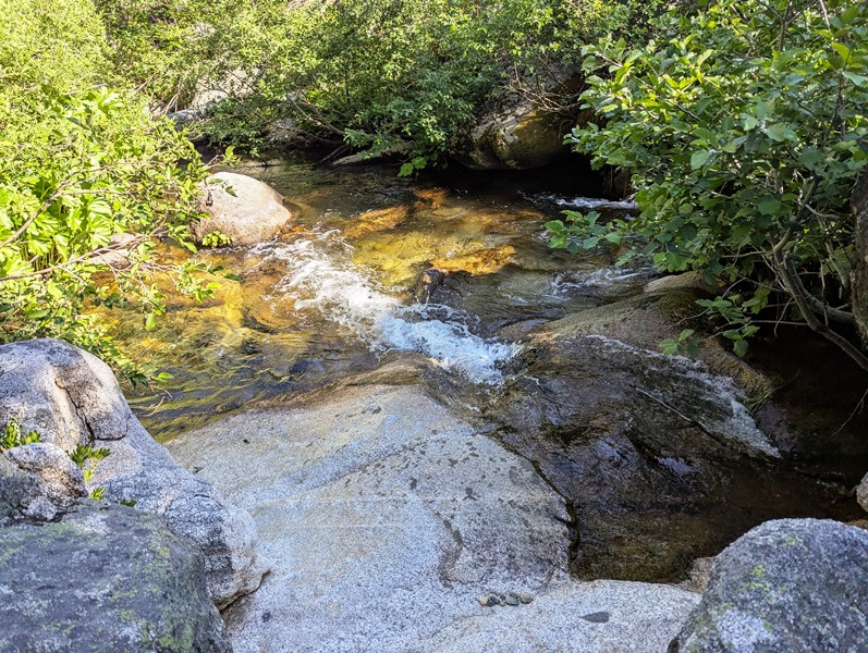
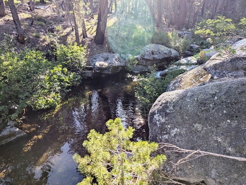
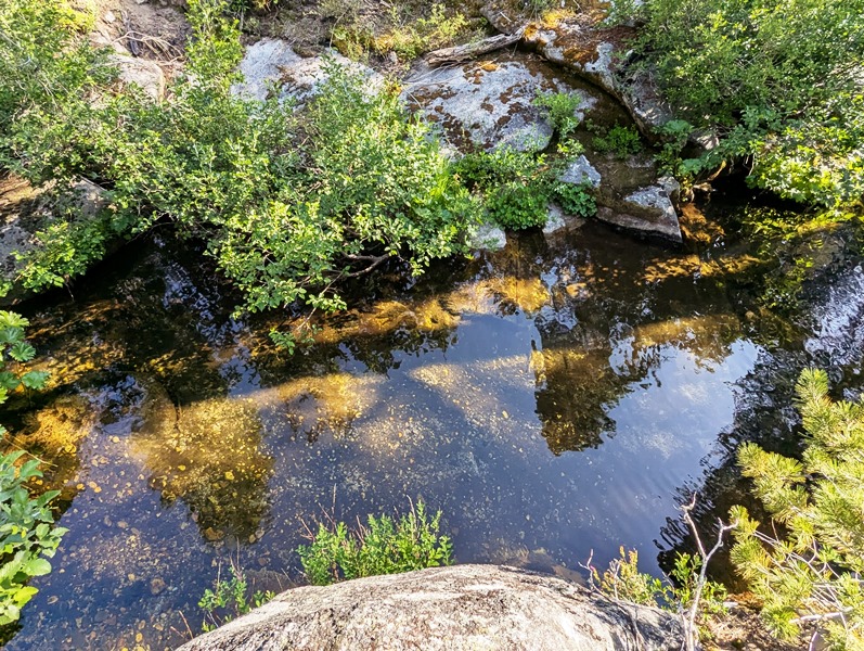
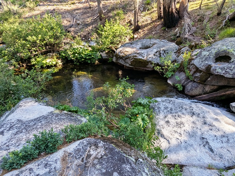
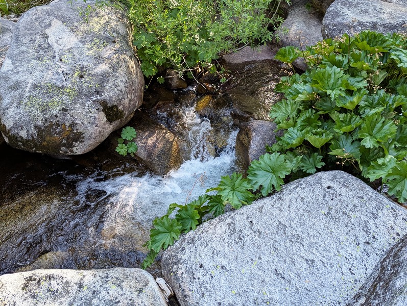
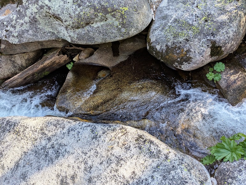
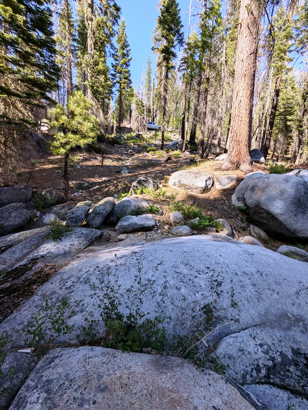
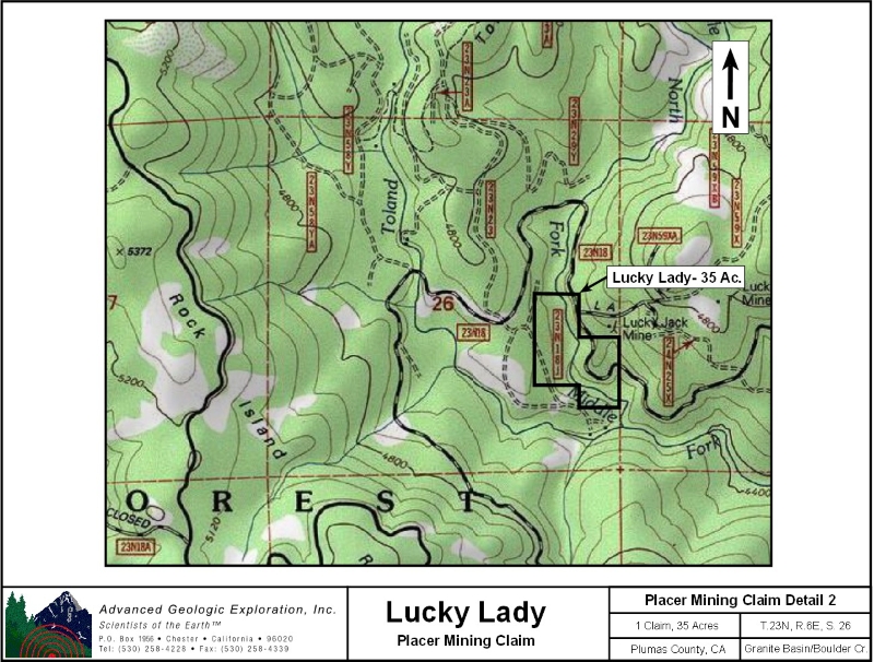
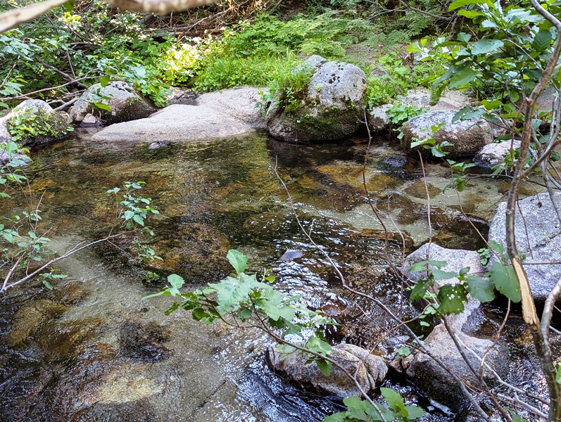
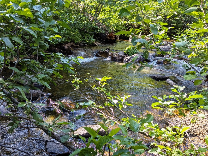
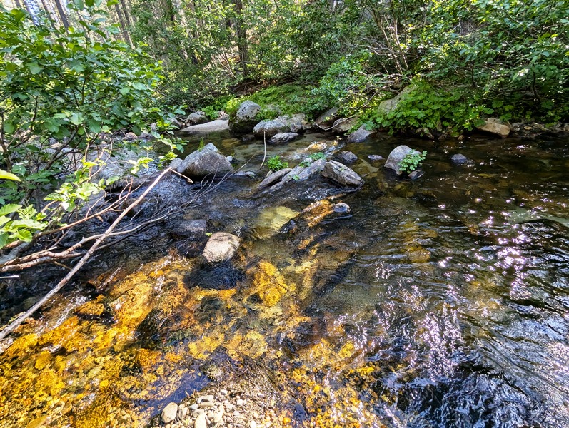
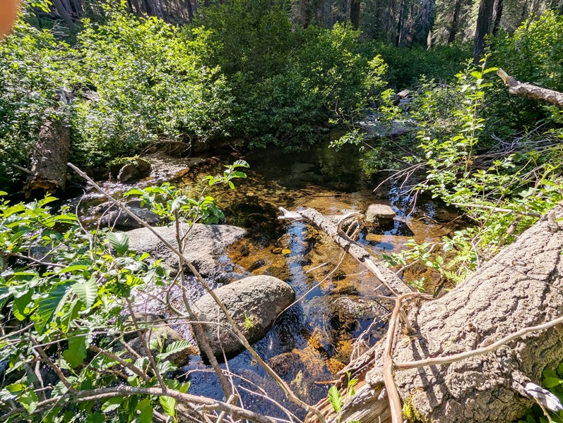
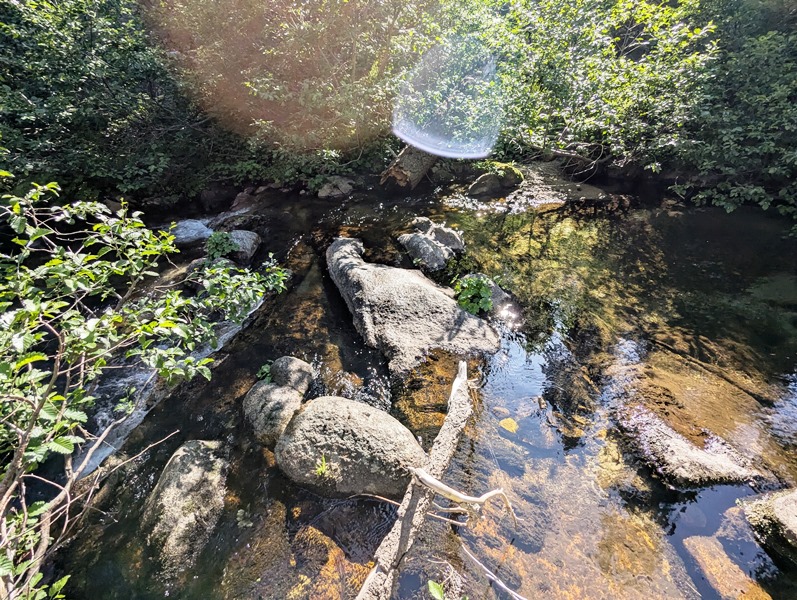
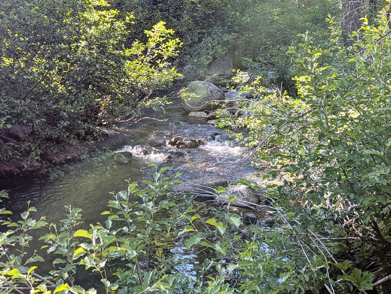
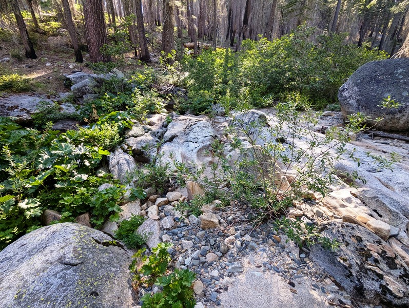
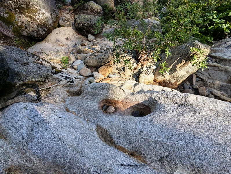
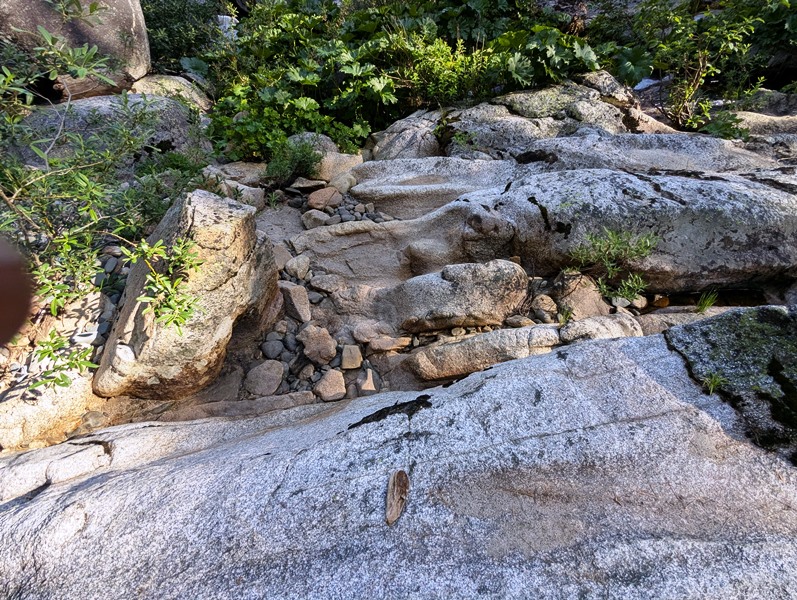
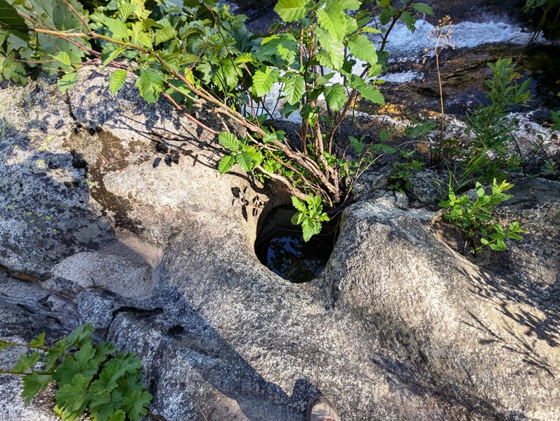
Lucky Lady ±35 Acres Price: $10,000 Geology: Several granitic stocks are intrusive into slate, quartzite, and limestone of the Calaveras Formation (Carboniferous to Permian) and amphibolite. Exfoliation has formed several round granitic domes, of which Bald Rock is the most prominent. Serpentine, some Tertiary basalt and a few patches of Tertiary auriferous gravel are present. The quartz veins usually occur in the granite. The veins are narrow, but he ore bodies often are rich. Pyrite and galena are abundant. Mines: Lode: Hardquartz, Hose, Reynolds. Placer: Buckeye drift, Coquette, Horseshoe, Milsap Bar, Robinson. Work Cited: “Gold Districts of Discussion to be added shortly. Maps, georeferences and GPS coordinates are good.
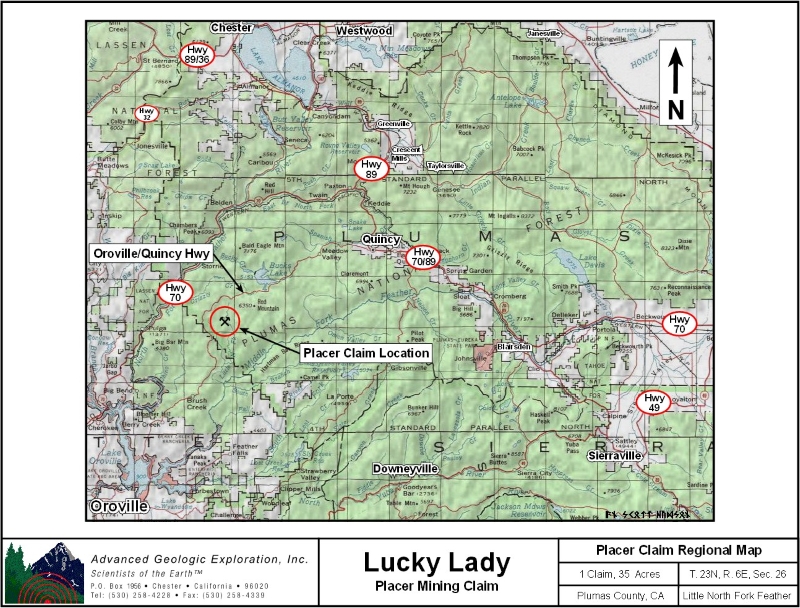
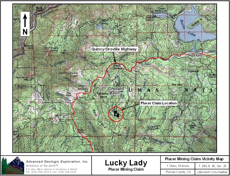
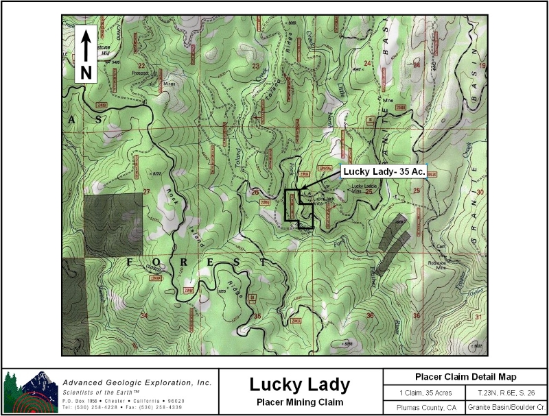
Click here Google Earth Fly To and see an aerial photo of Lucky Lady and the claim boundries. Click here to Google Map It! Estimated GPS Coordinates:
Standard Information BLM Fees & Advanced Geologic Transfer Fees Upon payment, the mineral claim will be transferred via a notarized Quitclaim notice filed in your name with Plumas County and the BLM. Limited payment terms and conditions are available; information available on request. Advanced Geologic has an exceptional automatic claim notice filing system that will maintain your annual filings for any claim in the United States. Advanced Geologic reminds you that you MUST file annual notices with both the county in which the claim is located AND with the Bureau of Land Management by the appropriate dates. There are NO exceptions and errors will lead to the loss of your claim! Are your claims filed correctly? Advanced Geologic is a professional geologic consulting firm located in Chester, California. We not only sell quality mining claims, but we also help people work their claims. Our experience in resource evaluations, compliance and permitting and claim portfolio management allows our clients and buyers to go for the GOLD. Interested? Send us an email or call.
|
|
|||||||||||||||||||||||||||||||||||||||||||||||||||||
|
|
|
|||||||||||||||||||||||||||||||||||||||||||||||||||||
|
|