|
|
| Placer Mining Claims For Sale | ||||||||||||||||||||||||||||||||||||||||||||||||||||||
|
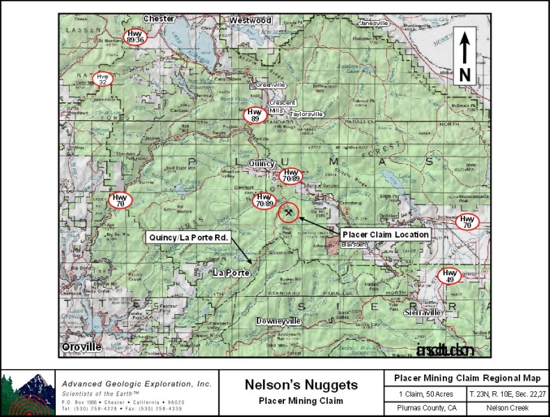
Nelson's Nugget's |
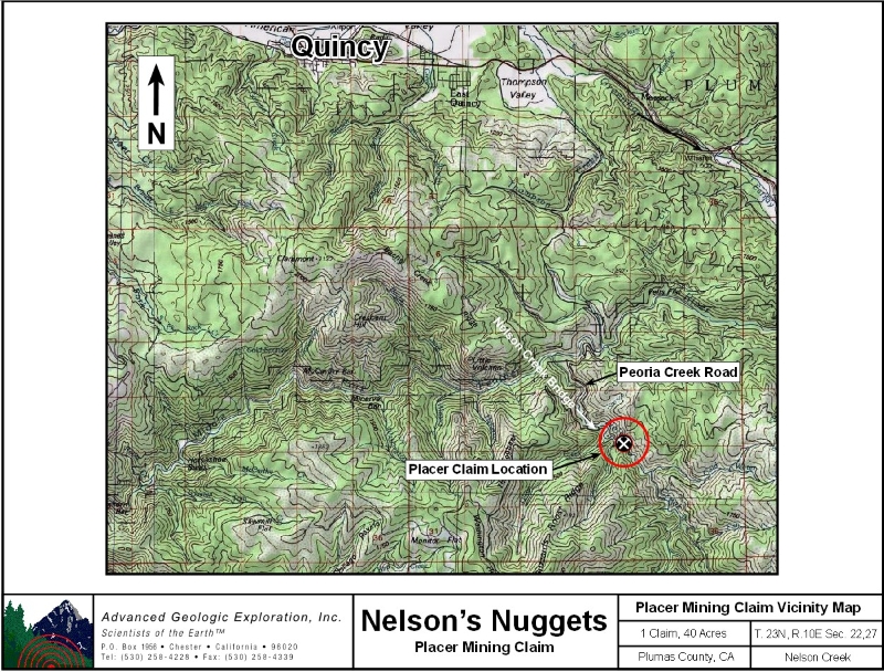
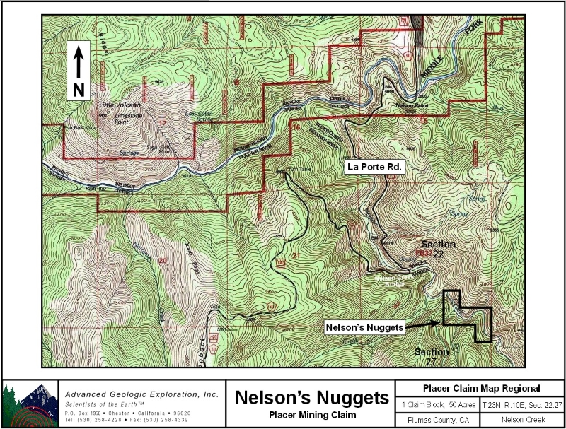
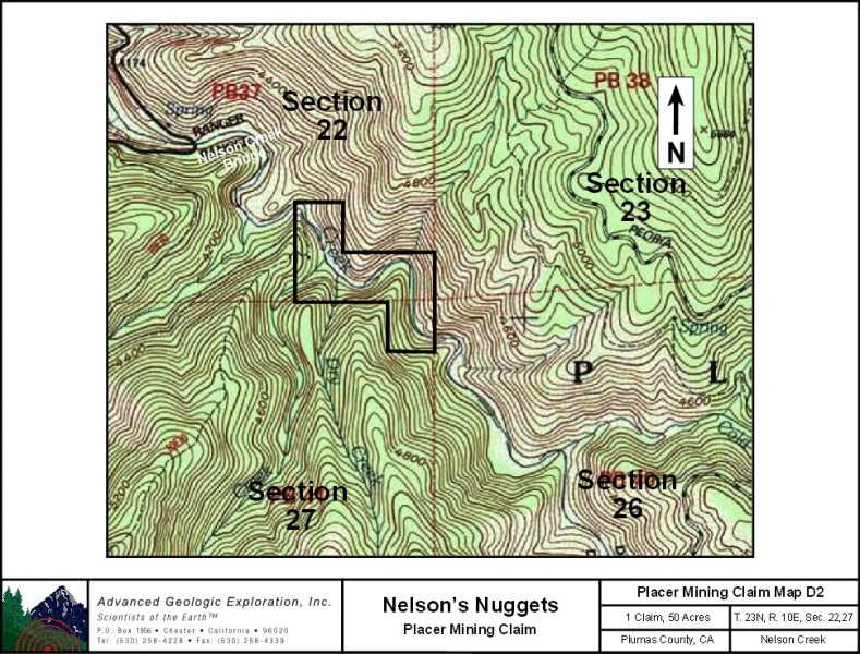
Nelson's Nugget's ±50 Acres Price: $50,000 Amenities:
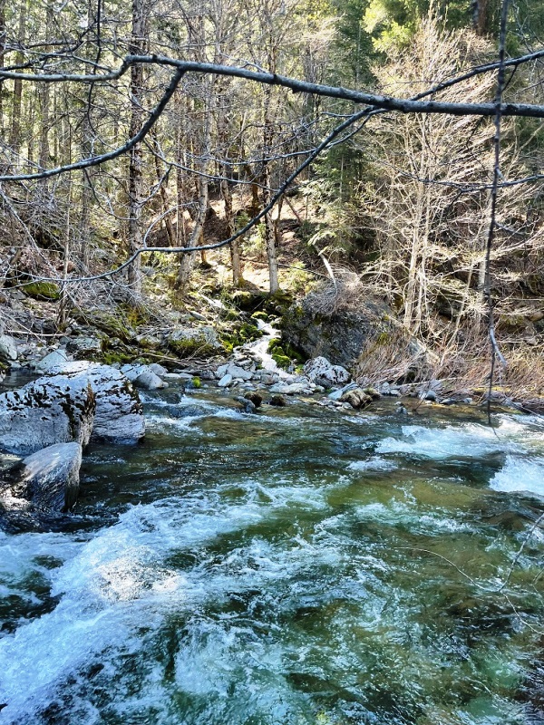
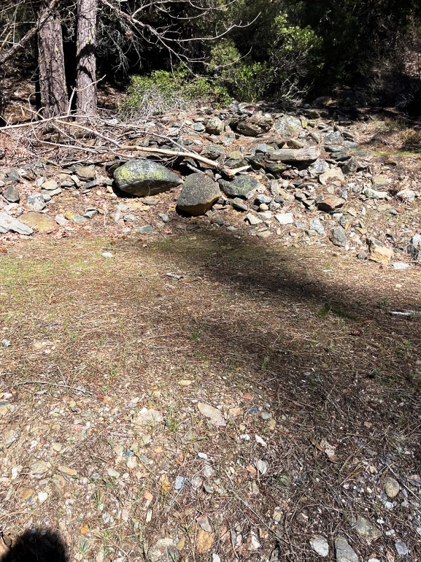
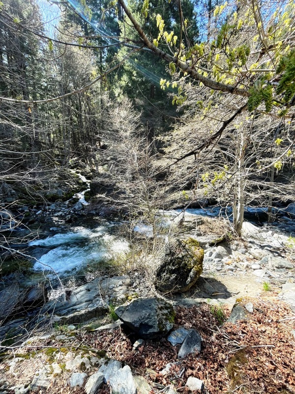
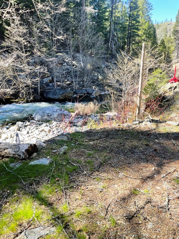
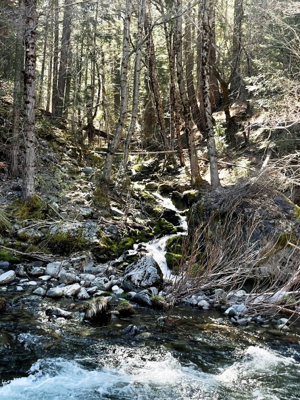
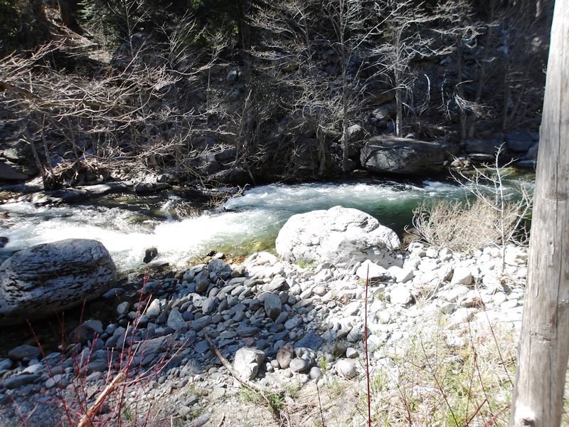
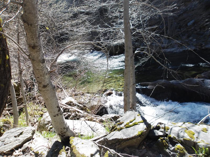
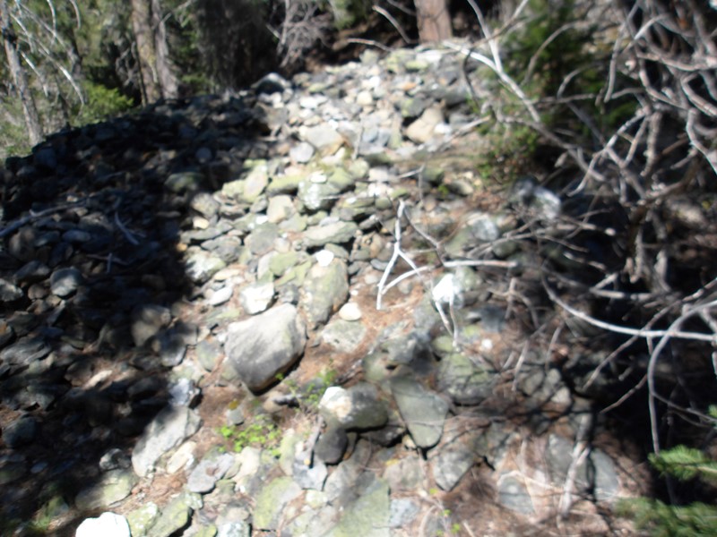
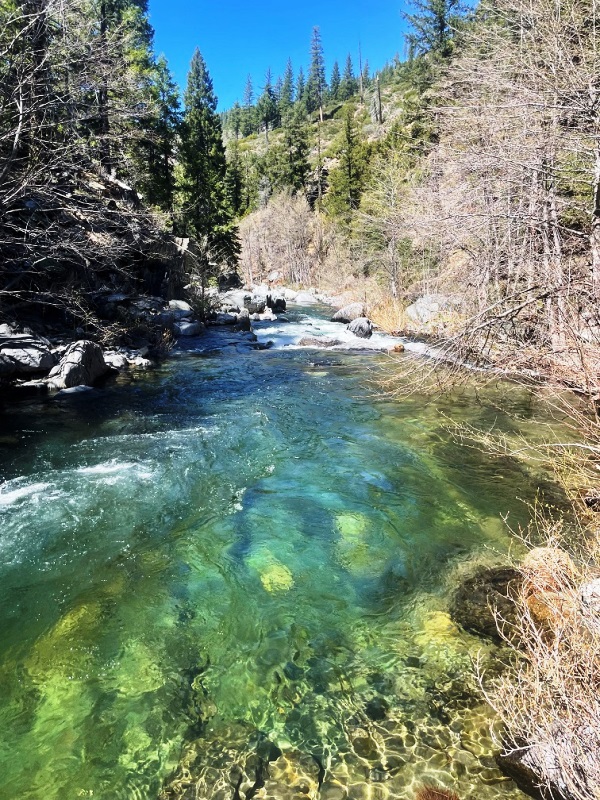
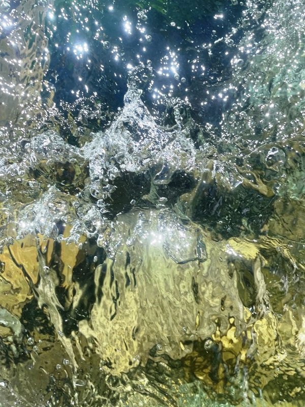
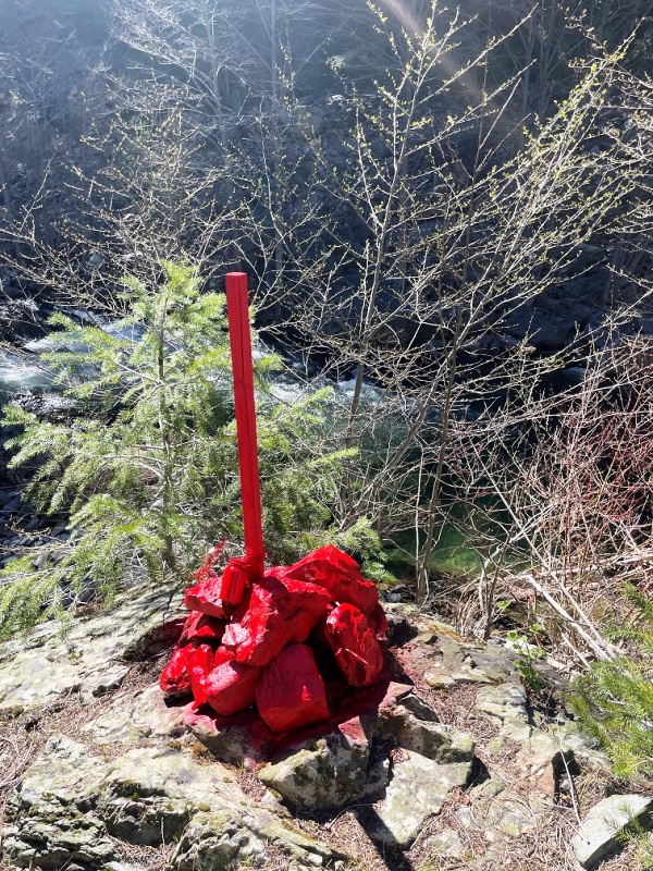
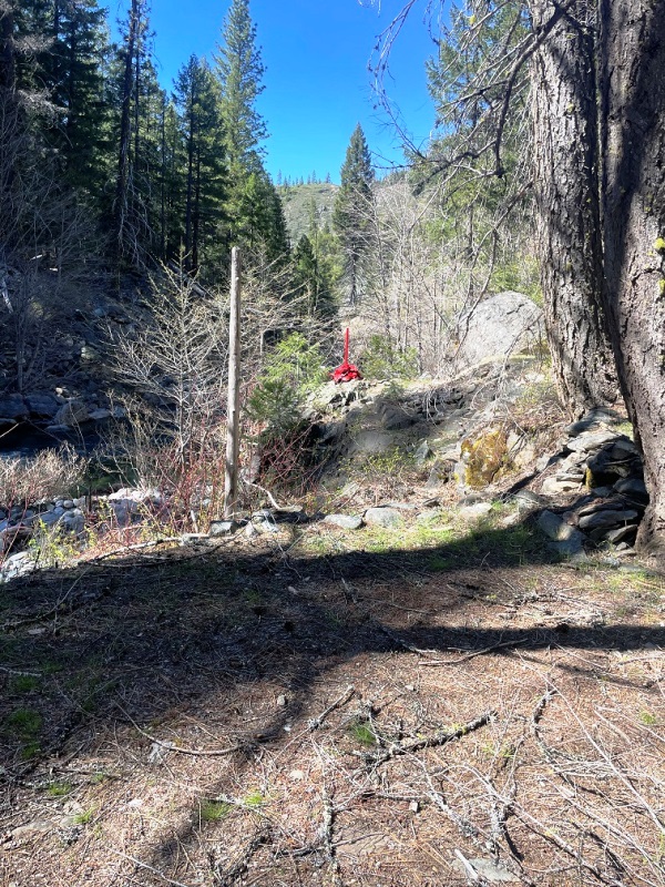
The trail is approximately half a mile from the bridge to the campsite. The historical Buzzards Roost Ridge Trail was traveled by miners for over 100 years as an alternative way into this part of Nelson Creek. It spanned from Onion Valley at Pilot Peek (north side) for three and quarter miles along Buzzard's Ridge above Poorman, Union, and Dixon Creek Canyon ending at the Buzzard's Rock Spire on Nelson Creek. Along this portion of Nelson Creek there once was a small mining town that was built along the terraces and concrete retaining walls and building foundations can still be found. Click here Google Earth Fly To and see an aerial photo of Nelson's Nugget's and the claim boundaries. Click here to Google Map It! Estimated GPS Coordinates:
Standard Information BLM Fees & Advanced Geologic Transfer Fees Upon payment, the mineral claim will be transferred via a notarized Quitclaim notice filed in your name with Plumas County and the BLM. Limited payment terms and conditions are available; information available on request. Advanced Geologic has an exceptional automatic claim notice filing system that will maintain your annual filings for any claim in the United States. Advanced Geologic reminds you that you MUST file annual notices with both the county in which the claim is located AND with the Bureau of Land Management by the appropriate dates. There are NO exceptions and errors will lead to the loss of your claim! Are your claims filed correctly? Advanced Geologic is a professional geologic consulting firm located in Chester, California. We not only sell quality mining claims, but we also help people work their claims. Our experience in resource evaluations, compliance and permitting and claim portfolio management allows our clients and buyers to go for the GOLD. Interested? Send us an email or call.
|
|
||||||||||||||||||||||||||||||||||||||||||||||||||||
|
|
|
|||||||||||||||||||||||||||||||||||||||||||||||||||||
|
|