|
|
| El Mayor (Baja) Mexico M 7.2 Earthquake - February 21, 2008 | ||
|
Magnitude Time Location from Coordinates Depth |
7.2 - Moment magnitude (USGS) Easter Sunday April 4, 2010 at 3:40:41 PM (PDT) 30 miles SSE of Mexicali, Baja California, Mexico 32.259 N, 115.287 W ~10 km (6.2 miles) (poorly constrained) |
|
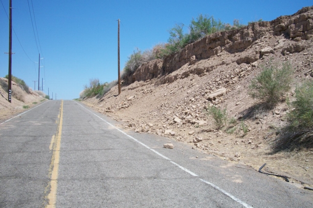
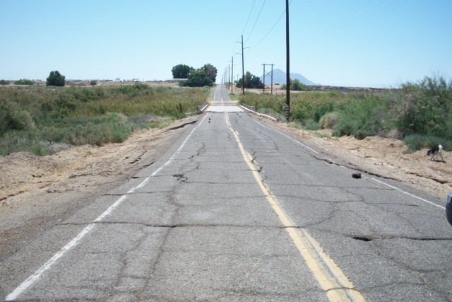
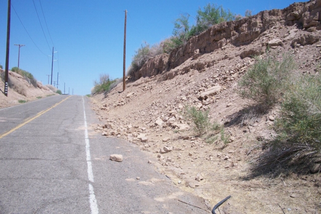
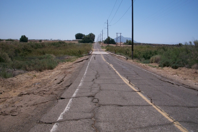
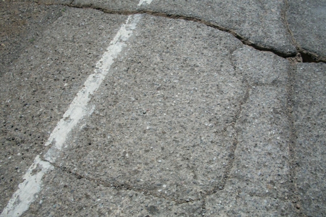
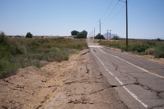
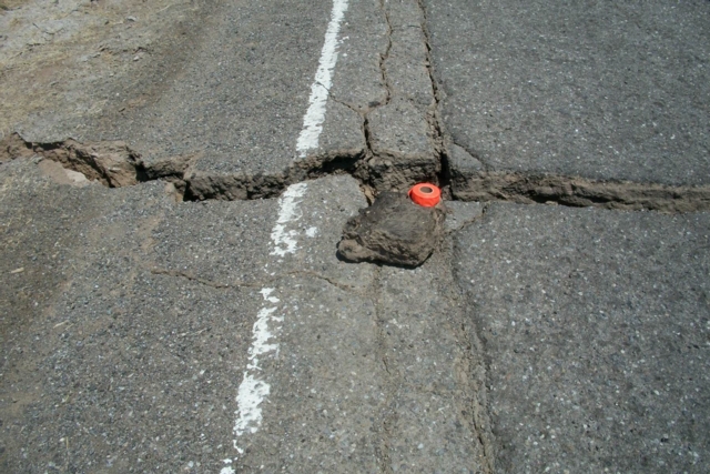
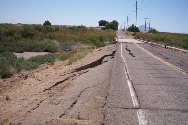
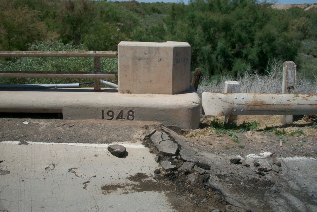
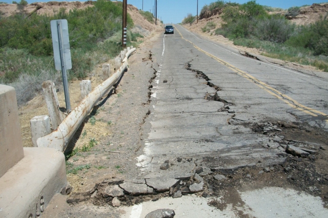
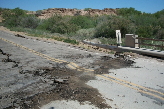
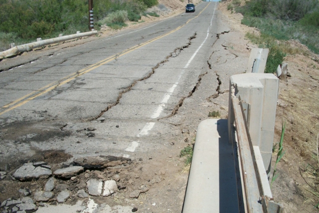
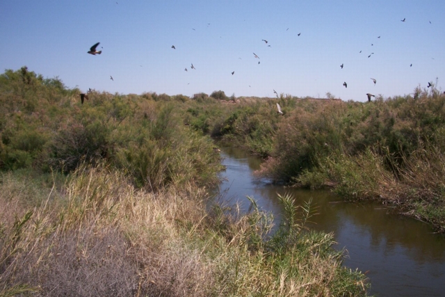
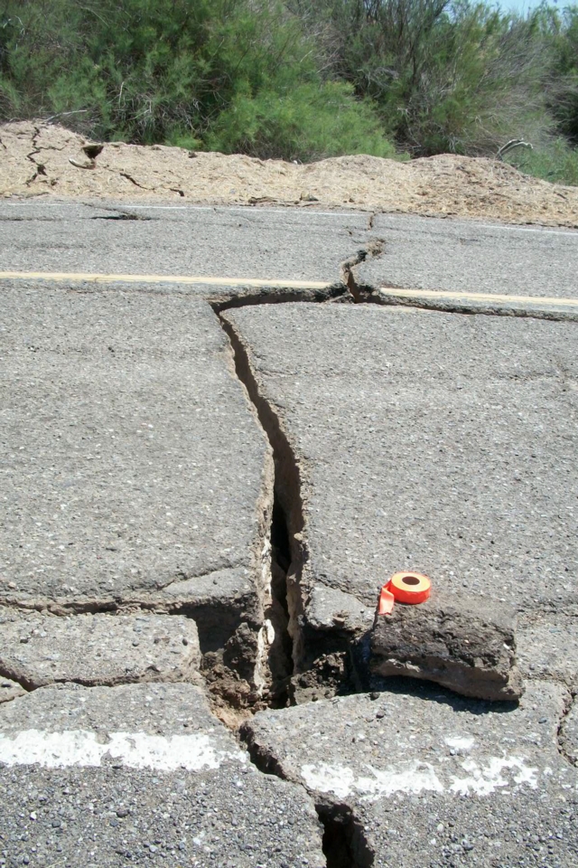
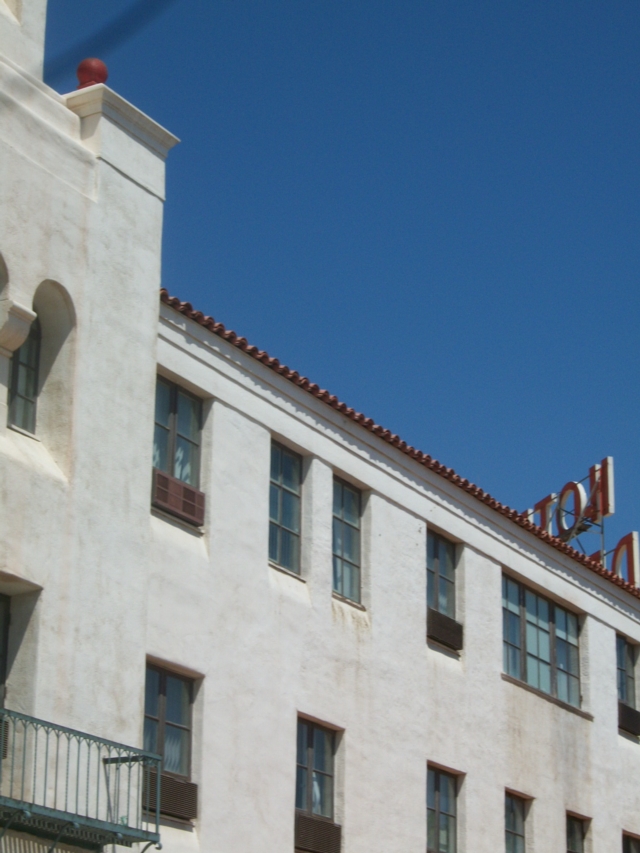
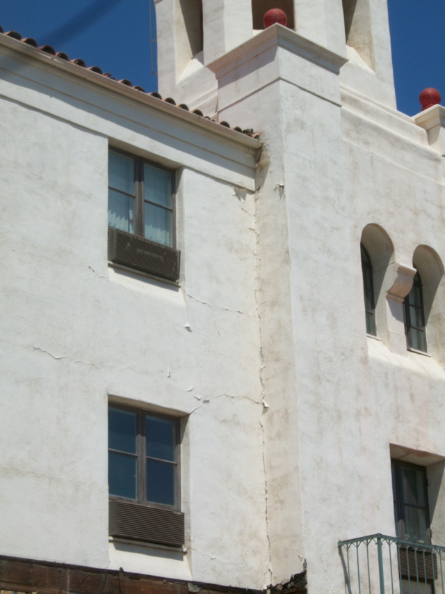
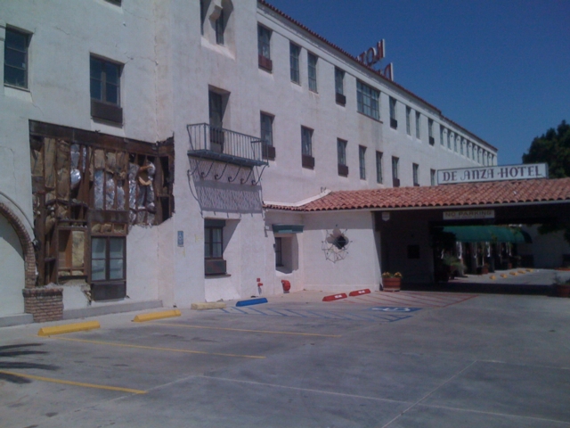
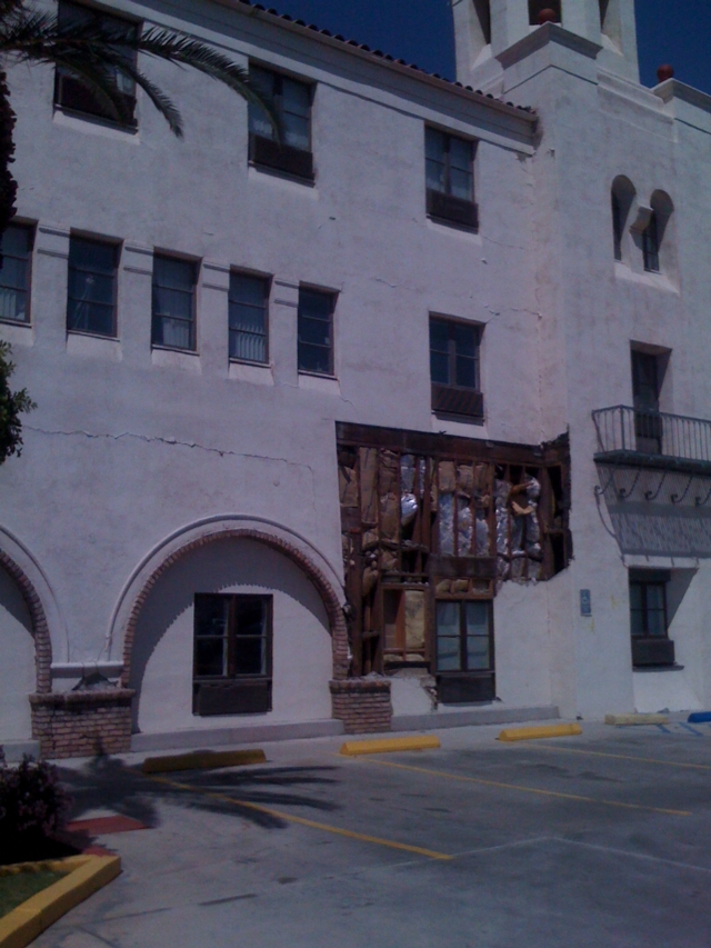
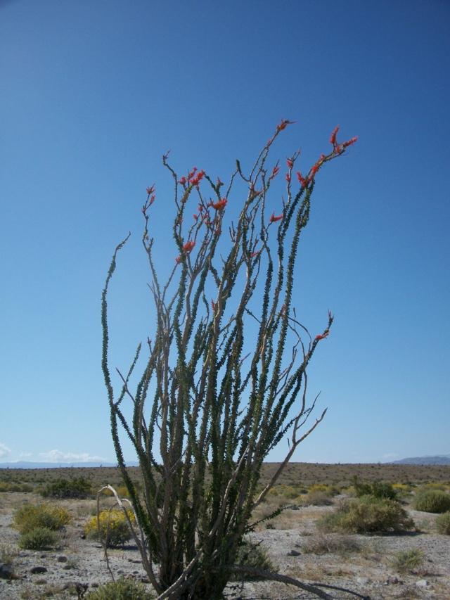
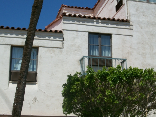
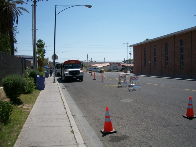
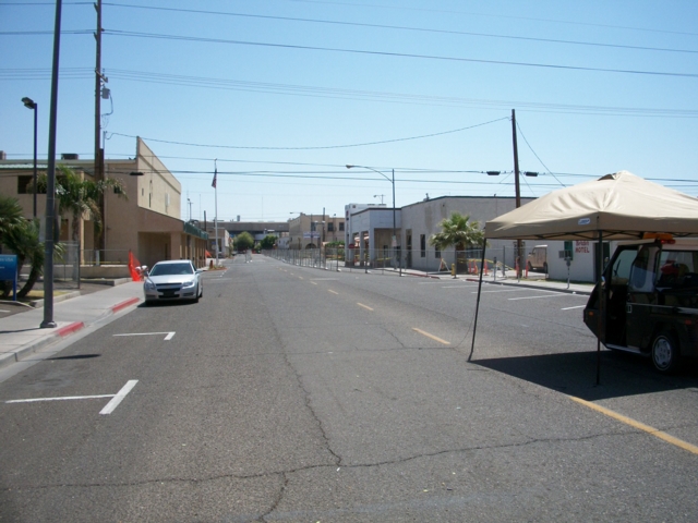
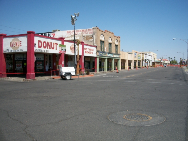
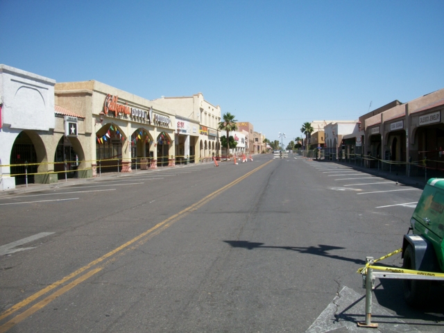
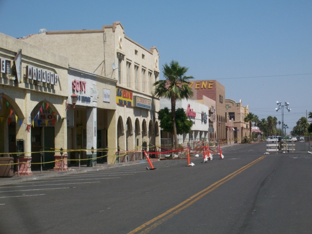
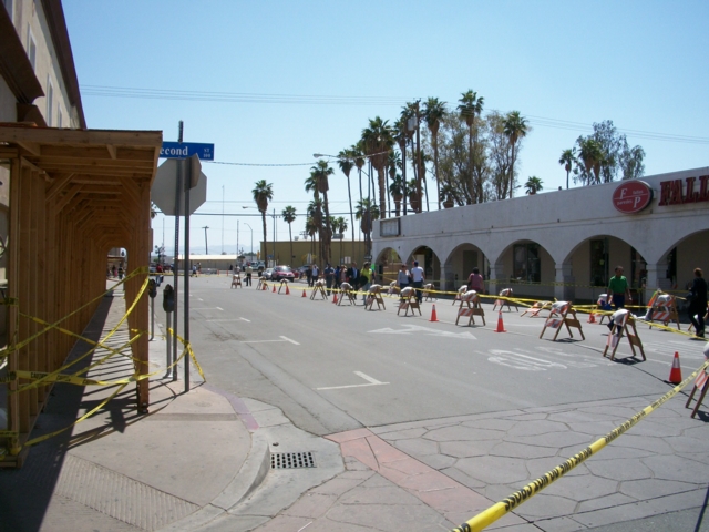
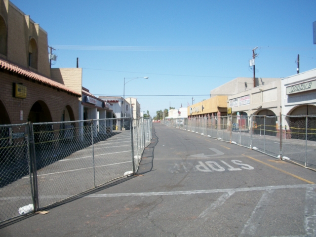
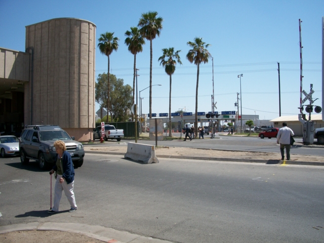
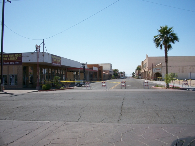
| Chief Geologist Charles Watson was in Ocotillo Wells, California Wednesday three days after the earthquakes and obtained the following photographs. Descriptions and more information are forthcoming. |
|
This surveillance video of a pool of the Alberca Hotel in Mexicali, Mexico shows the dramatic shaking cause by the earthquake. The video starts out kinda slow, but watch what happens at about the 46 second mark! |
  |
  |
  |
  |
  |
  |
  |
  |
  |
  |
  |
  |
  |
  |
  |
  |
  |
|
|