|
|
| Placer Mining Claims For Sale | |||||||||||||||||||||||||||||||||||||||||||||||||||||||||||||||||||||||||||||||||||||||||||||||||||||||||
|
|
Dutch Hill Mine & ±80 Acres Price:
The Seneca Mining District has a long and productive history, which began when gold was discovered in 1851. A settlement was quickly established and steadily grew as more and more prospectors descended upon the valley. Plumas County was established three years later and this northernmost township was called Seneca. In 1902 a post office was established. The county seat was later moved to Quincy.
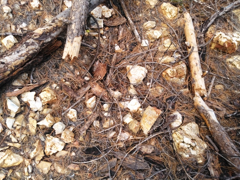
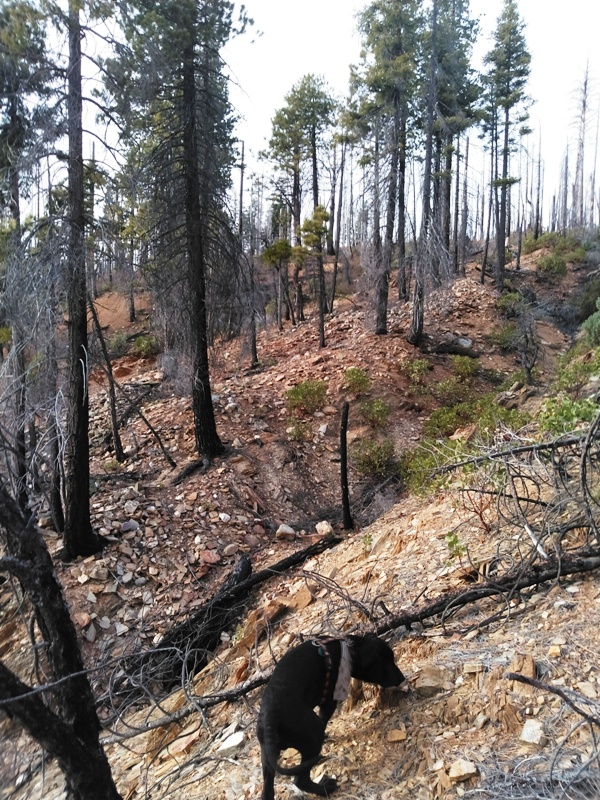
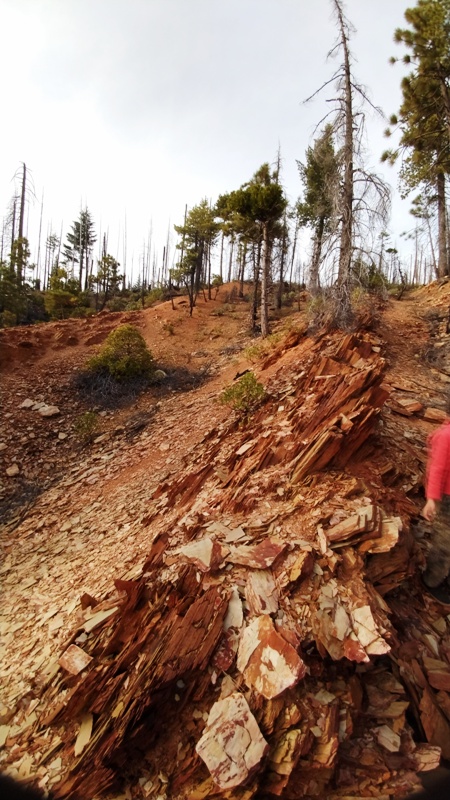
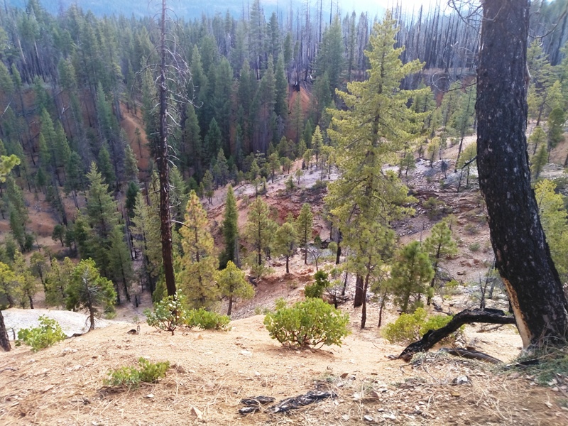
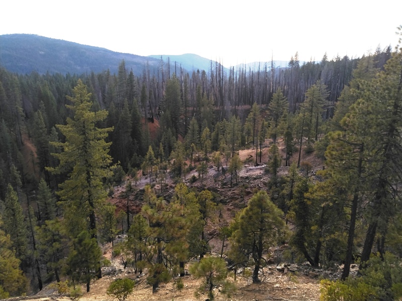
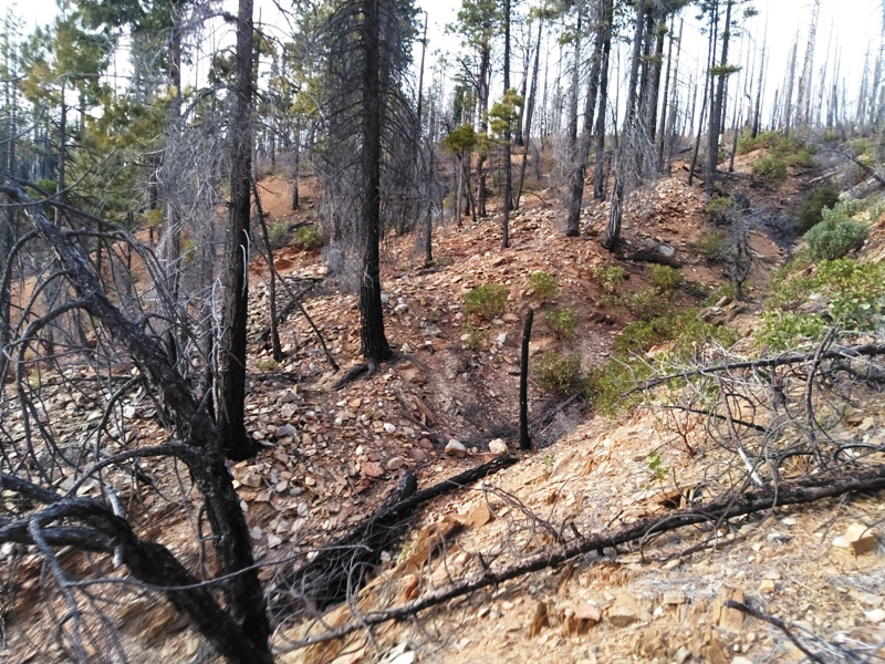
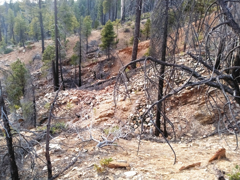
The geology is unusual because gold comes from both the bedrock and the Tertiary gravel deposits. Some of the Tertiary gravels were buried by lava and ash flow tuffs that flowed down the valley from the Lassen Volcanic Center. The North Fork Feather River would flow across the volcanic deposits and eventually cut a valley through them and deposit more gold-bearing gravels. Then another lava and/or ash flow tuff would bury them again. This happened several times over the last 2 million years. Therefore, gravels occur in the current active river channel, under the volcanic deposits and on top of them as well.
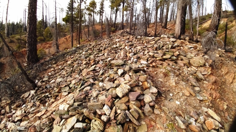
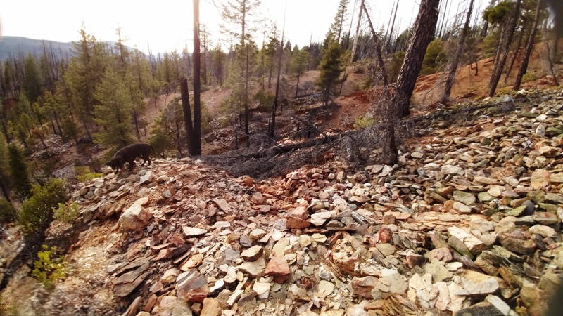
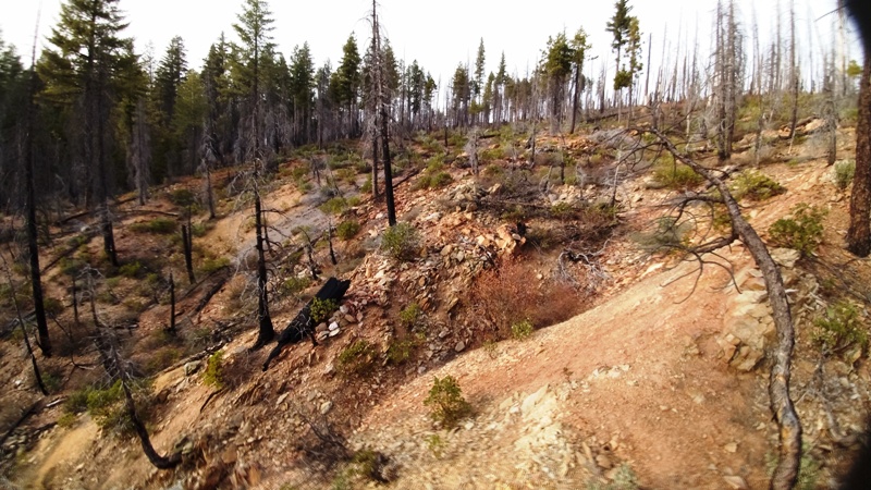
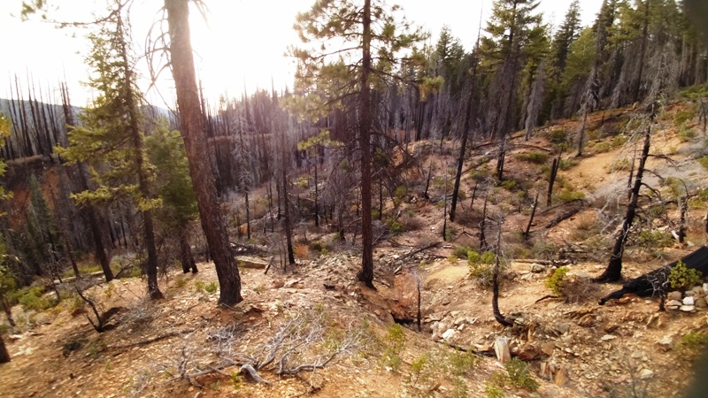
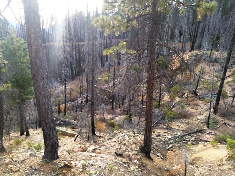
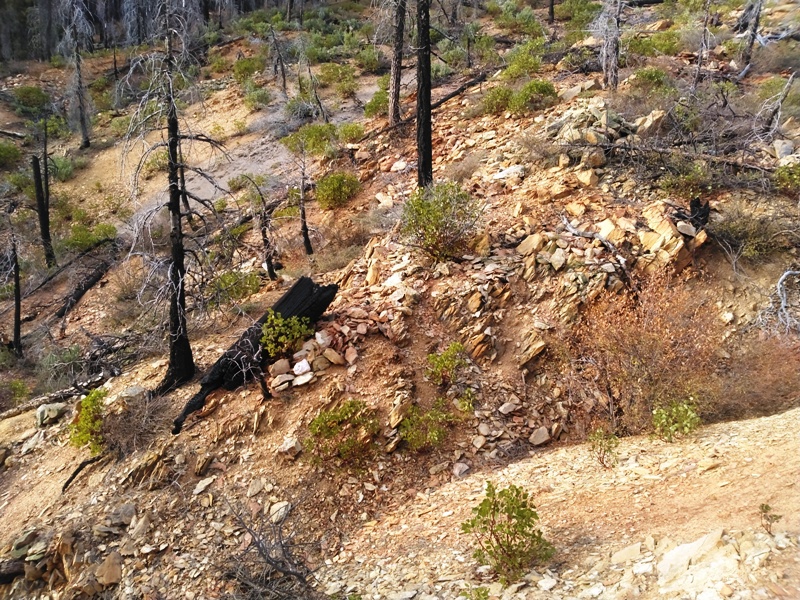
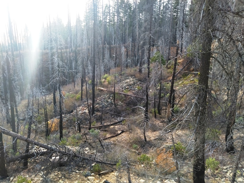
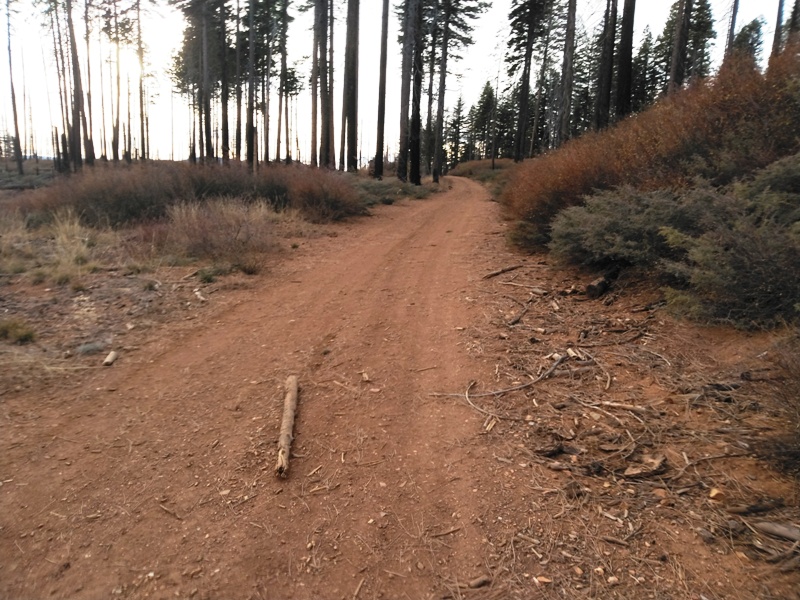
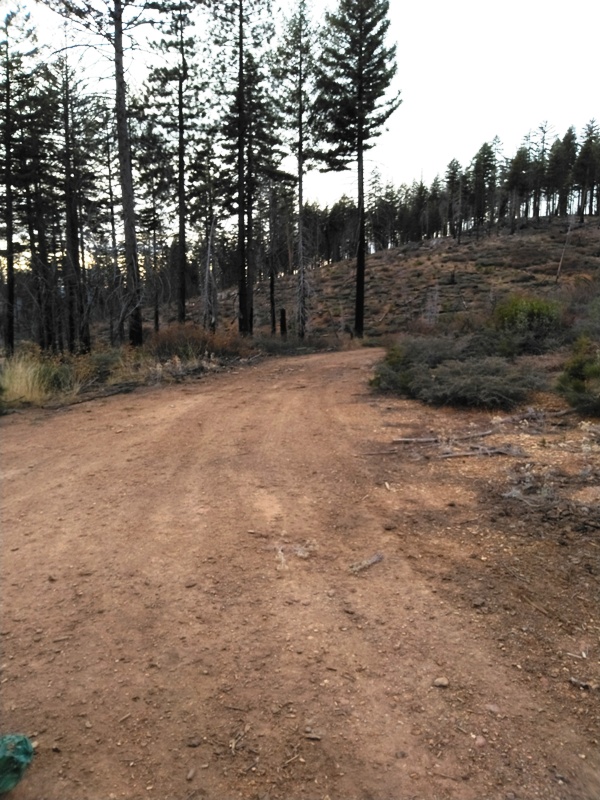
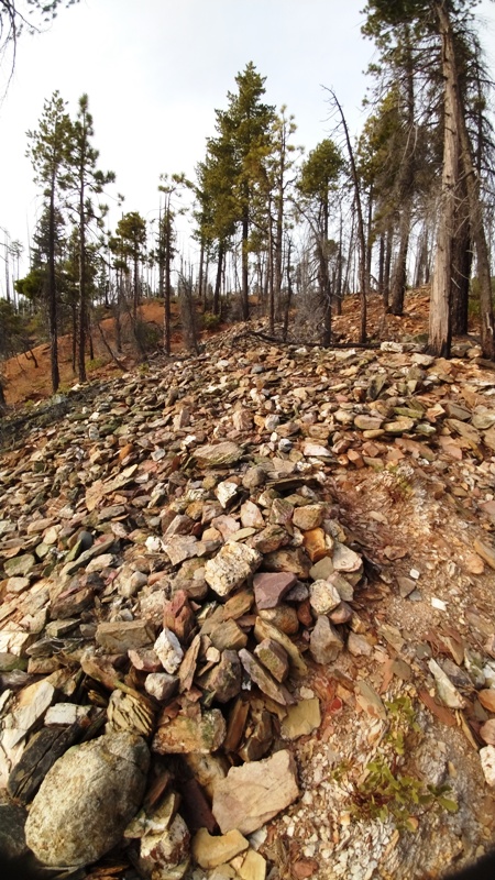
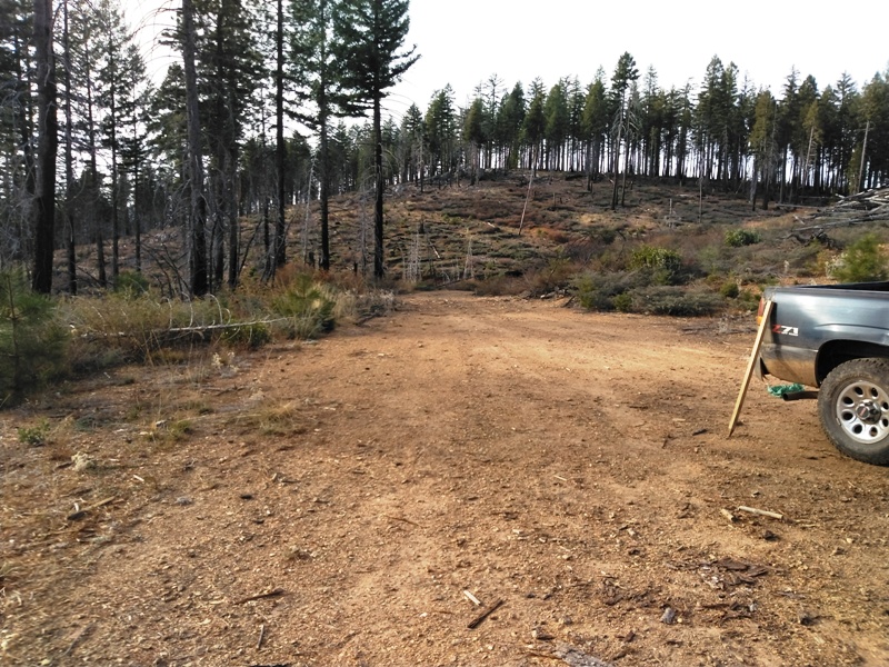
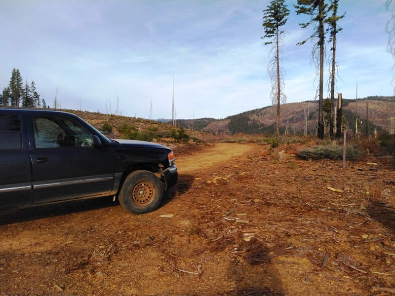
Our Dutch Hill placer mining claims secure gold-rich gravels that were left remnant on top of the bench volcanic flows. Rounded cobble sediments can be found in many places on the claim. A nearby prospector currently has a Plan of Operations permit with the Forest Service to use a mini-excavator to move the cobbles and mine the virgin sediments underneath them. He say he does quite well, but won't say how well.
This is an excellent set of mining claims where you can prospect both by hand and by heavy equipment. Check them out and see if they are your kind of mining operation. We believe you will be more than pleased with your new claims.
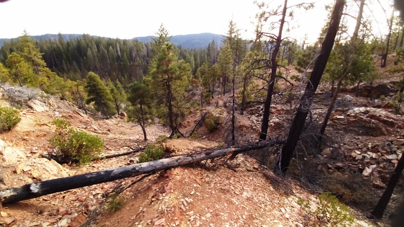
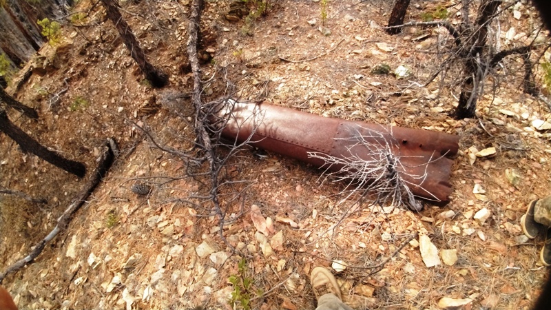
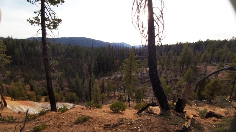
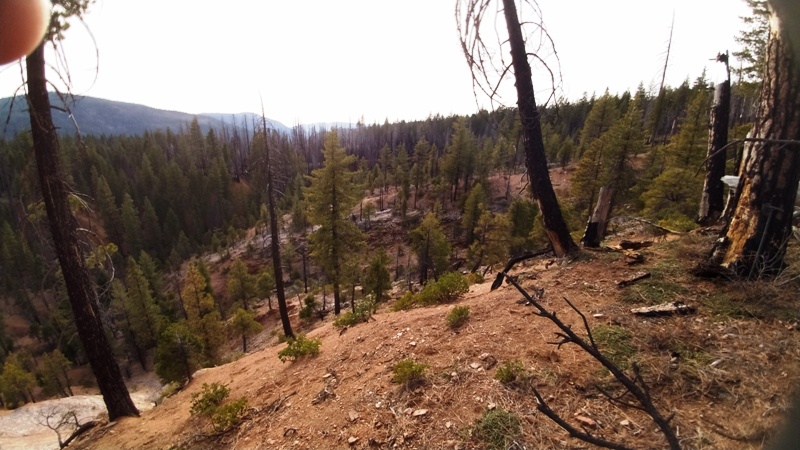
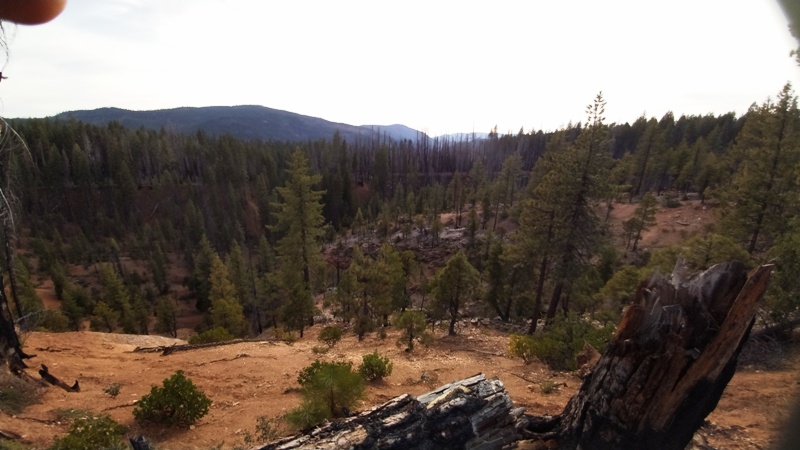
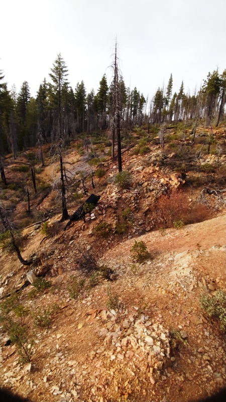
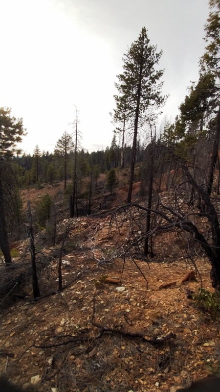
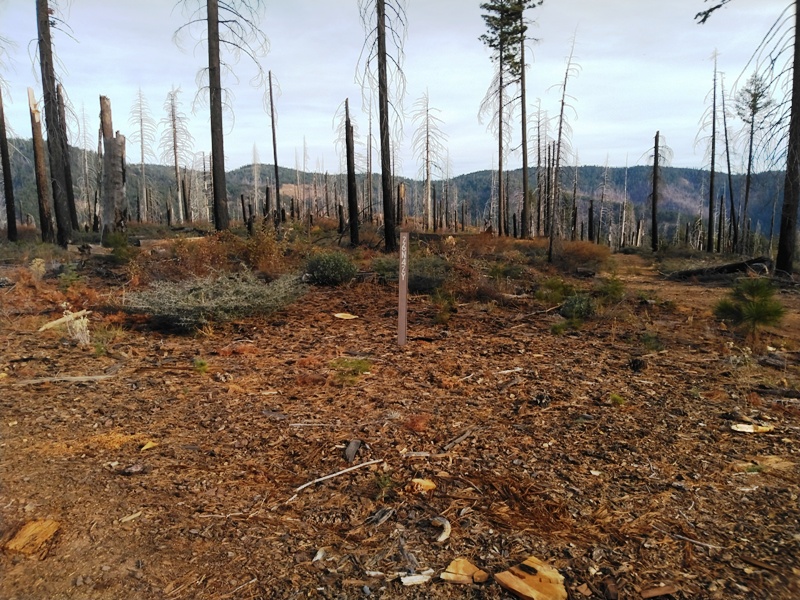
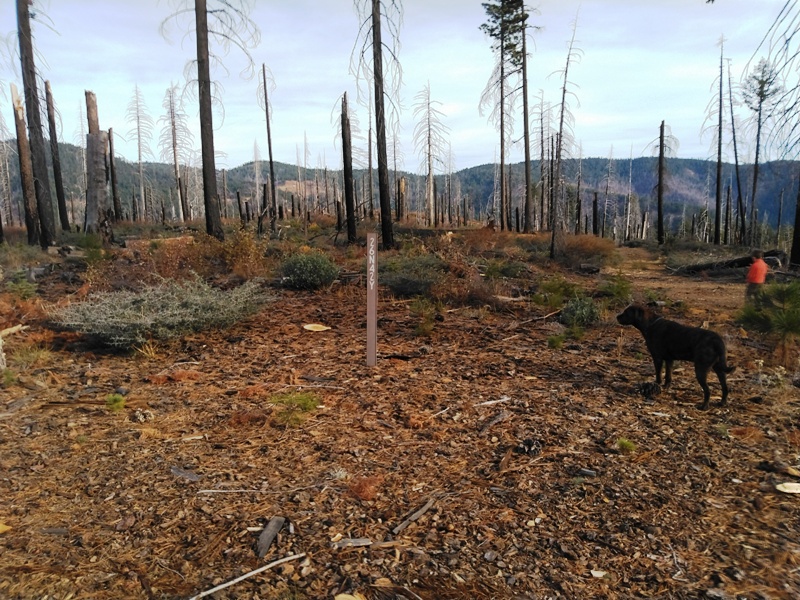
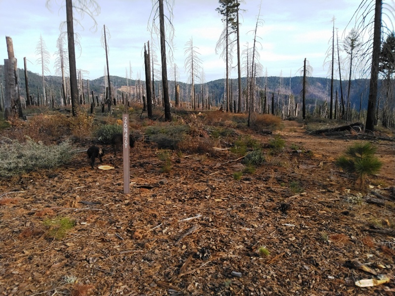
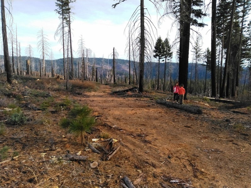
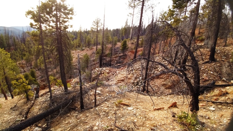
Any wildfire is devastating to the environment but there are benefits to mining claims! Vegetation loss enhances access and promotes erosion which brings gold down from the hillsides and deposits it into the drainages! Dozer cuts made by fire fighters provides ground disturbance and access to buried treasure!
Historically in the Seneca (Butt Valley) Mining District, gold has been produced from rich placer diggings in gravels of both recent and ancient streams. A few small deposits of ancient auriferous gravel have been successfully mined in this district. Deposits of auriferous gravel occur in the recent beds of the North Fork Feather River, the gravel is rich in gold and has been targeted by miners since the Gold Rush. At some locations the gravel has been worked over a number of times and it is still being worked and producing large amounts of gold. By the disintegration of the auriferous slates of the Cedar and Calaveras formations in the area, free gold is present in the hillsides and has been concentrating in the creeks that drain them. Estimated GPS Coordinates:
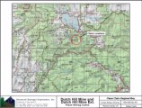
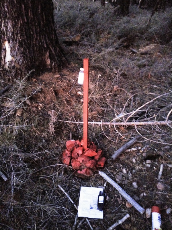
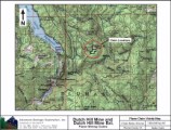
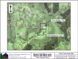
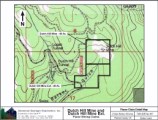
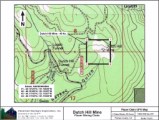
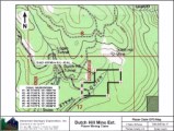
Click here Google Earth Fly To and see an aerial photo of Dutch Hill Mine and the claim boundries. Estimated GPS Coordinates:
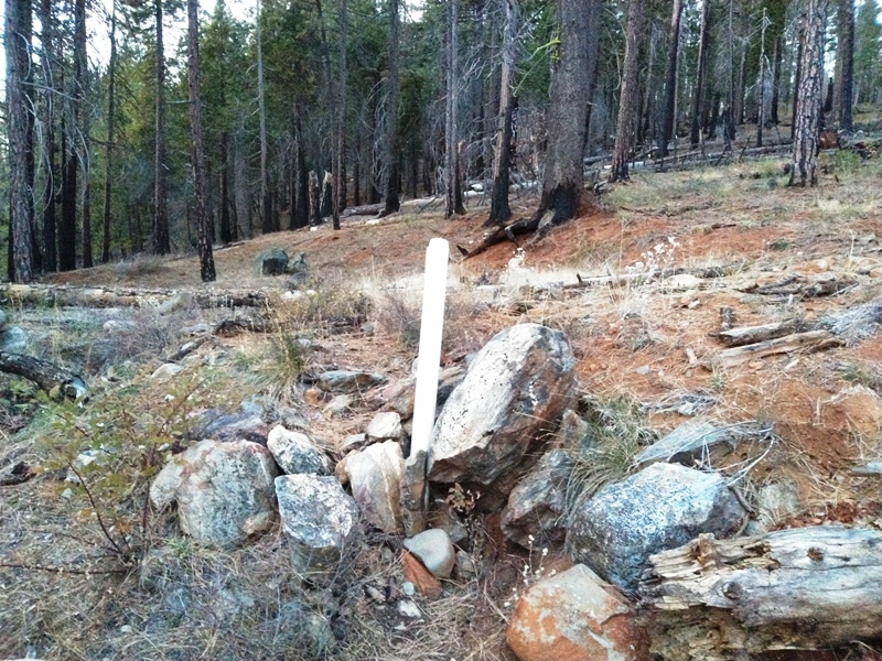
Click here Google Earth Fly To and see an aerial photo of Dutch Hill Mine Extension and the claim boundries. Click here to Google Map It! Standard Information The Location Notice for the Dutch Hill Mine and Dutch Hill Mine Extension placer mining claim has been recorded at the Plumas County Recorder's Office (see registered number above) and the Bureau of Land Management federal mining claim number is pending. It is a non-patented federal mining claim. Fees are current and you will need to file appropriate paperwork to hold the property every year thereafter. Annual tax assessment on the property is approximately $1.12 an acre. The Dutch Hill Mine and Dutch Hill Mine Extension placer mining claims is a non-patented federal mining claim. You will need to file appropriate annual paperwork to hold the property every year. (Ask us about our Filing Service to assist you with that!) Annual property tax assessment is approximately $1.12 an acre. BLM Fees & Advanced Geologic Transfer Fees Upon payment, the mineral claim will be transferred via a notarized Quitclaim notice filed in your name with Plumas County and the BLM. Limited payment terms and conditions are available; information available on request. Advanced Geologic has an exceptional automatic claim notice filing system that will maintain your annual filings for any claim in the United States. Advanced Geologic reminds you that you MUST file annual notices with both the county in which the claim is located AND with the Bureau of Land Management by the appropriate dates. There are NO exceptions and errors will lead to the loss of your claim! Are your claims filed correctly? Advanced Geologic is a professional geologic consulting firm located in Chester, California. We not only sell quality mining claims, but we also help people work their claims. Our experience in resource evaluations, compliance and permitting and claim portfolio management allows our clients and buyers to go for the GOLD. Interested? Send us an email or call.
|
|
|||||||||||||||||||||||||||||||||||||||||||||||||||||||||||||||||||||||||||||||||||||||||||||||||||||||
|
|
|||||||||||||||||||||||||||||||||||||||||||||||||||||||||||||||||||||||||||||||||||||||||||||||||||||||||
|
|
.JPG)
.JPG)
.JPG)
.JPG)
.JPG)
.JPG)
.JPG)
.JPG)
.JPG)
.JPG)
.JPG)
.JPG)
.JPG)
.JPG)
.JPG)