|
|
| Placer Mining Claims For Sale | ||||||||||||||||||||||||||||||||||||||||||
|
|
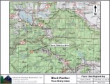
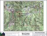
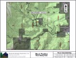
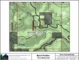
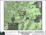
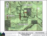
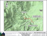
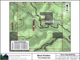
Black Panther ±20 Acres $5,500 Combine With Black Mamba & Black Mongoose: $12,500
Some of the amenities are:
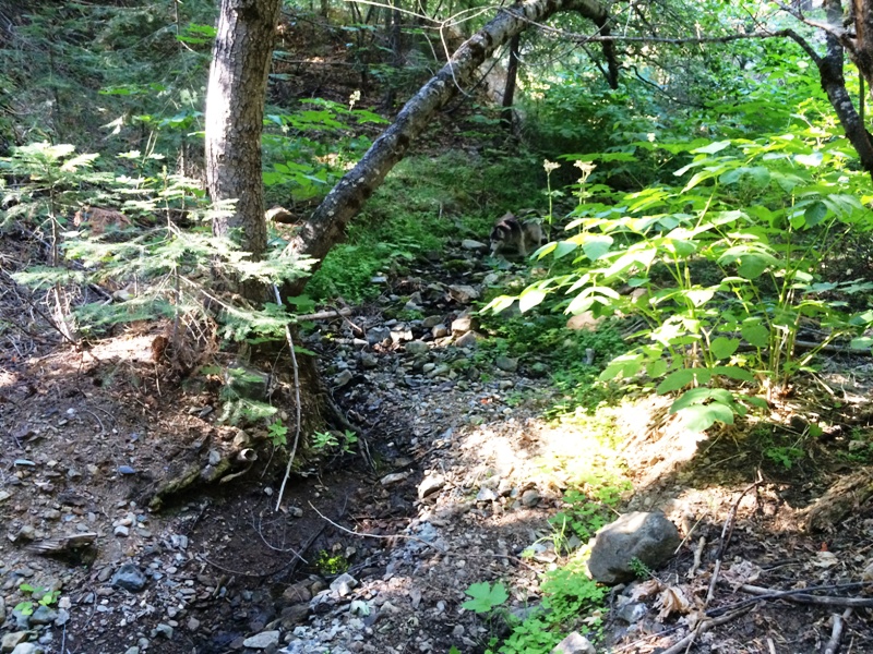
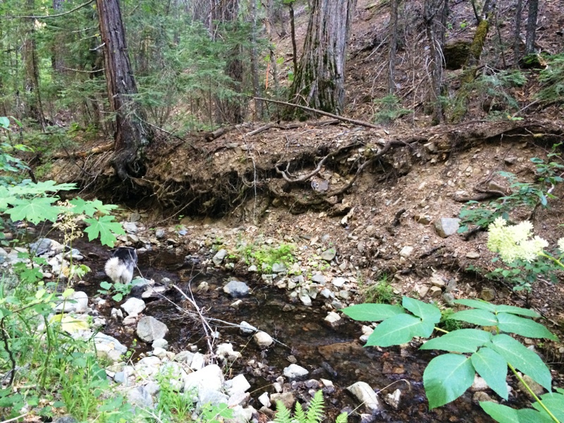
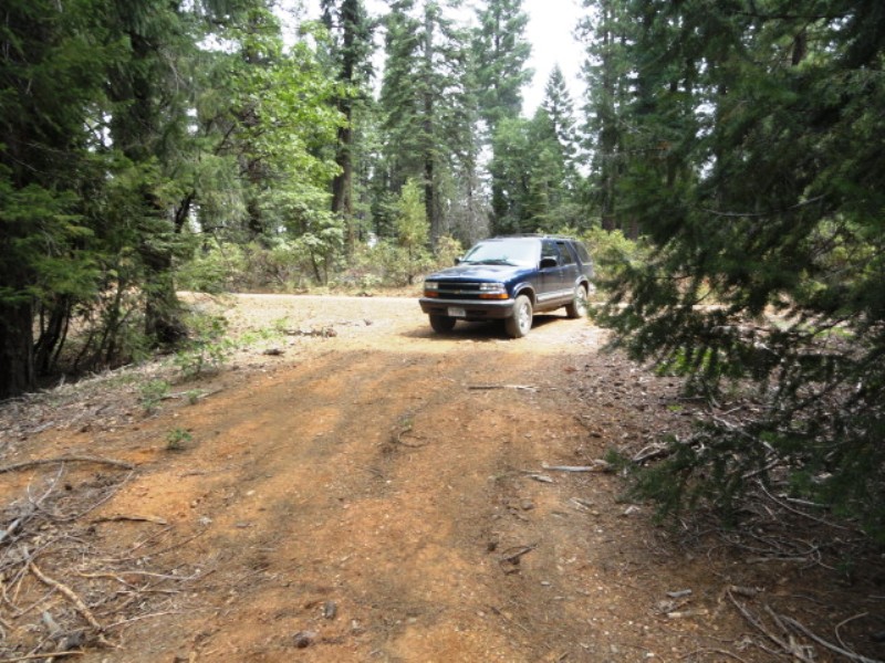
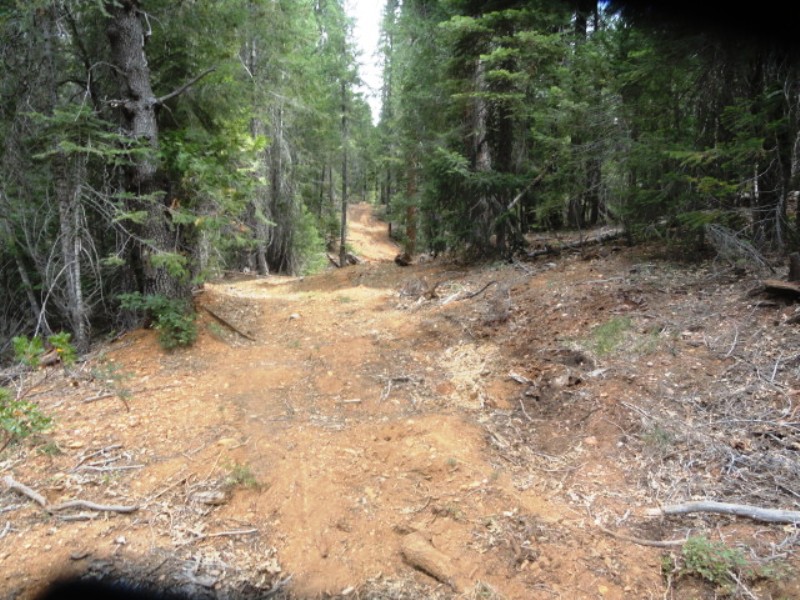
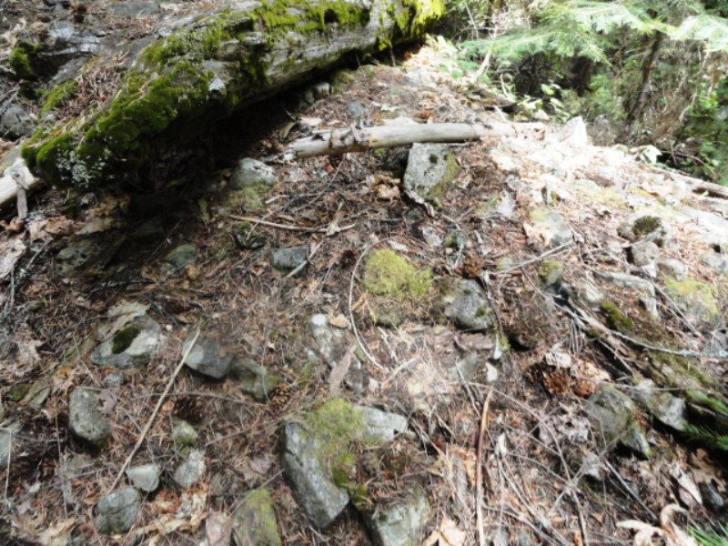
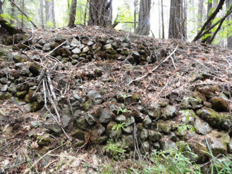
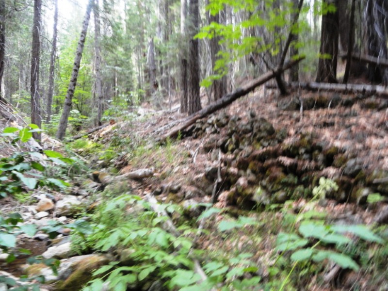
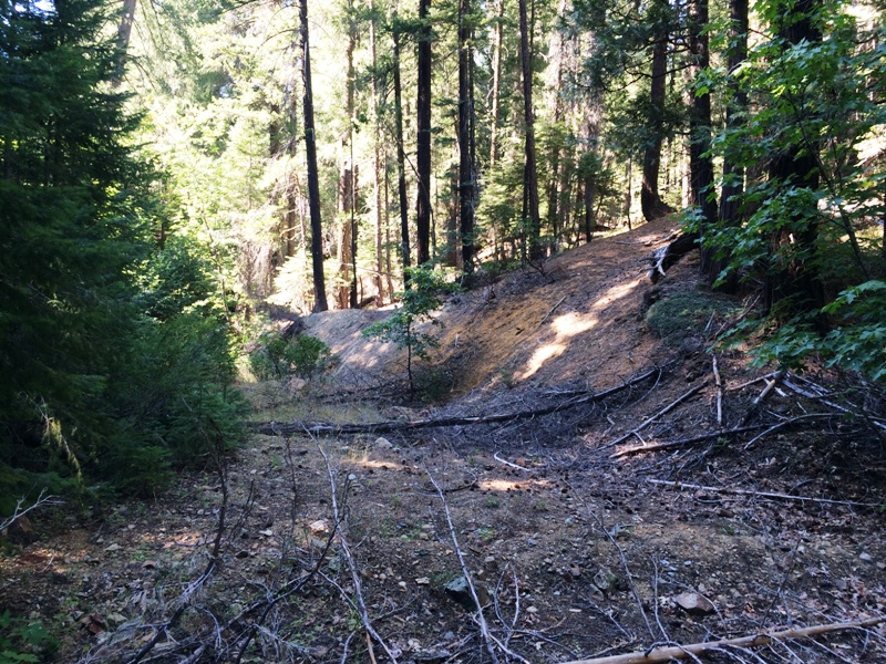
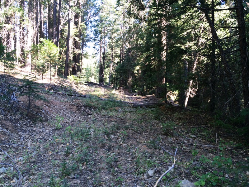
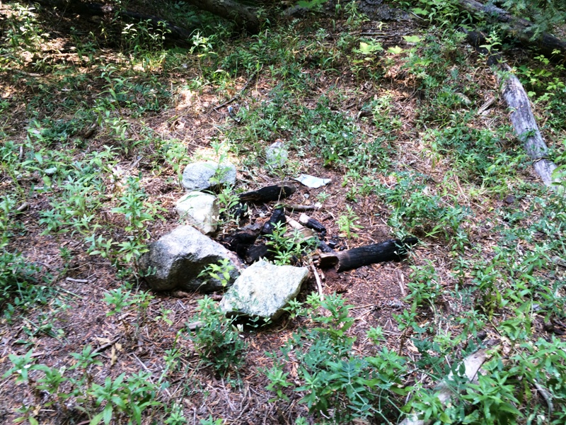
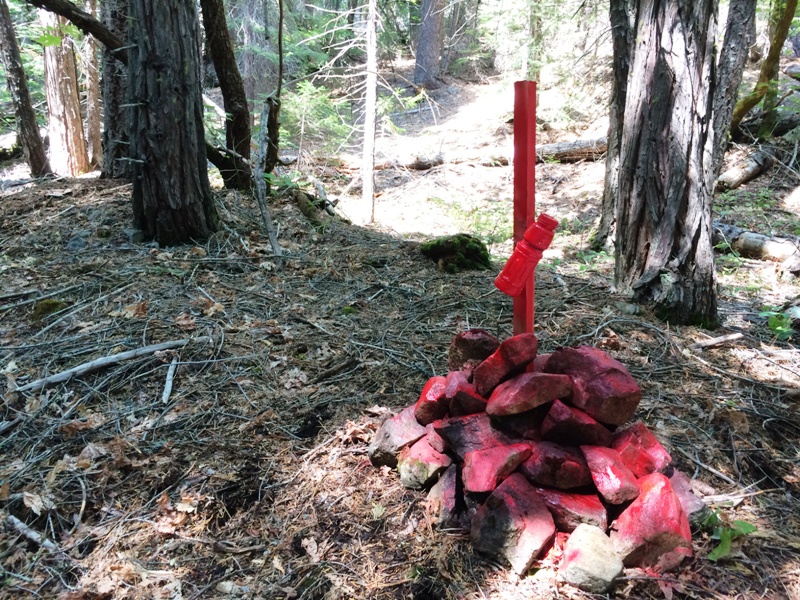
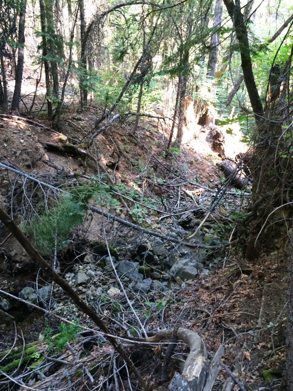
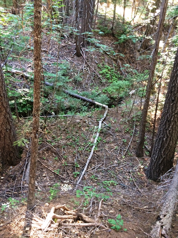
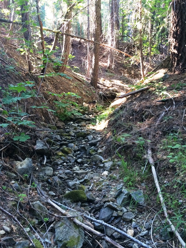
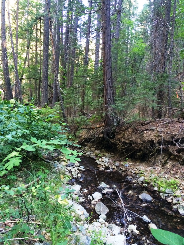
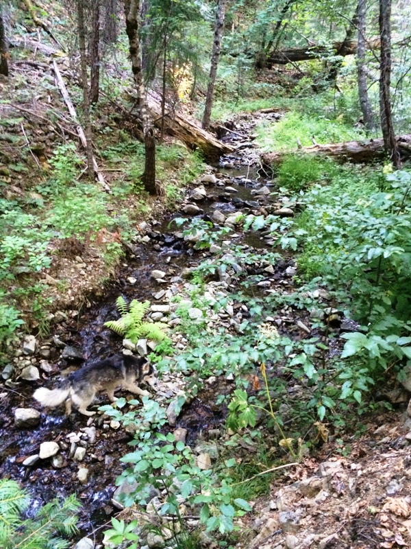
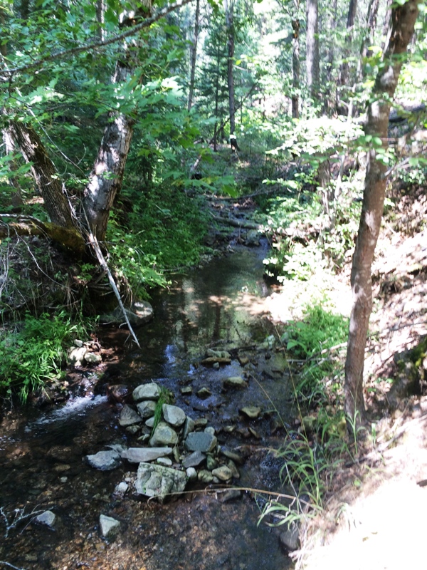
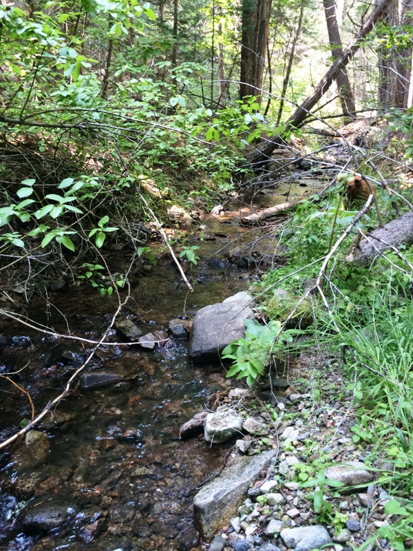
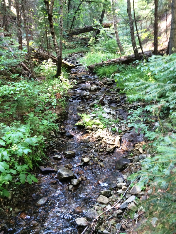
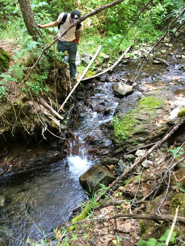
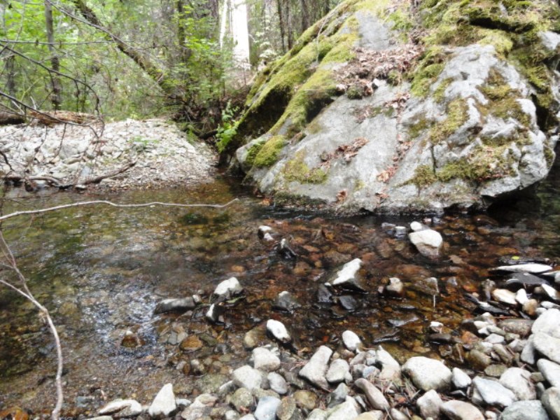
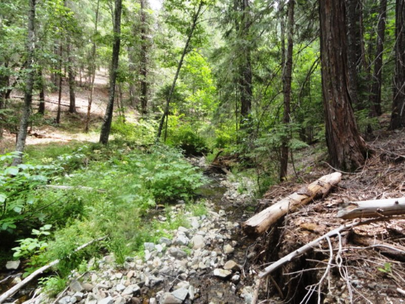
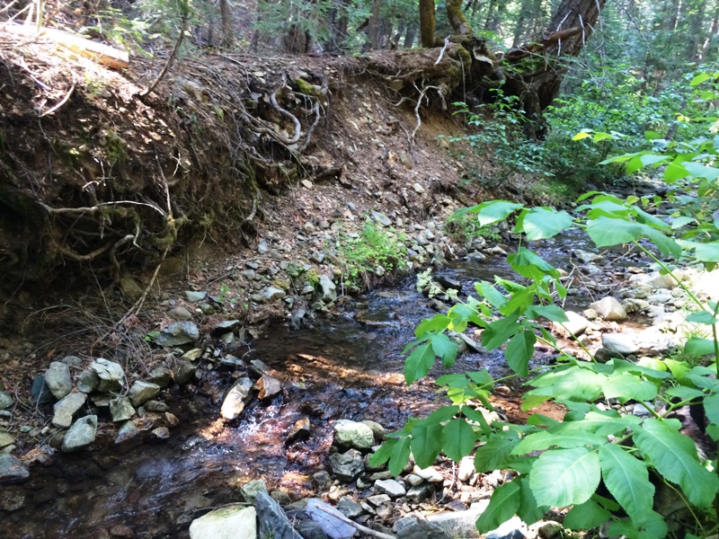
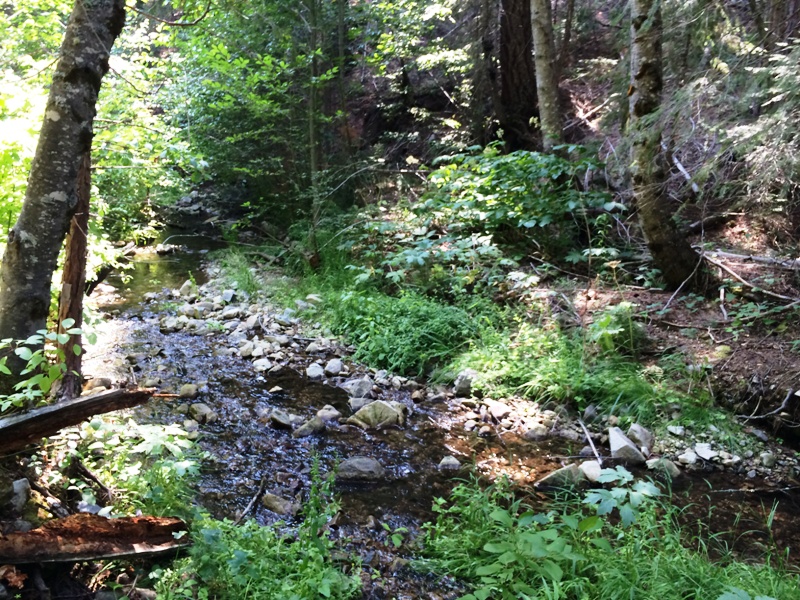
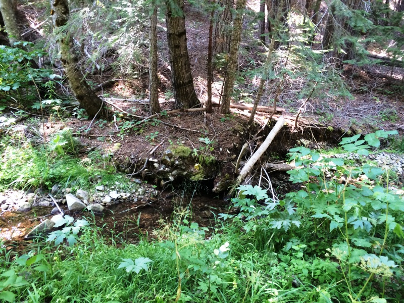
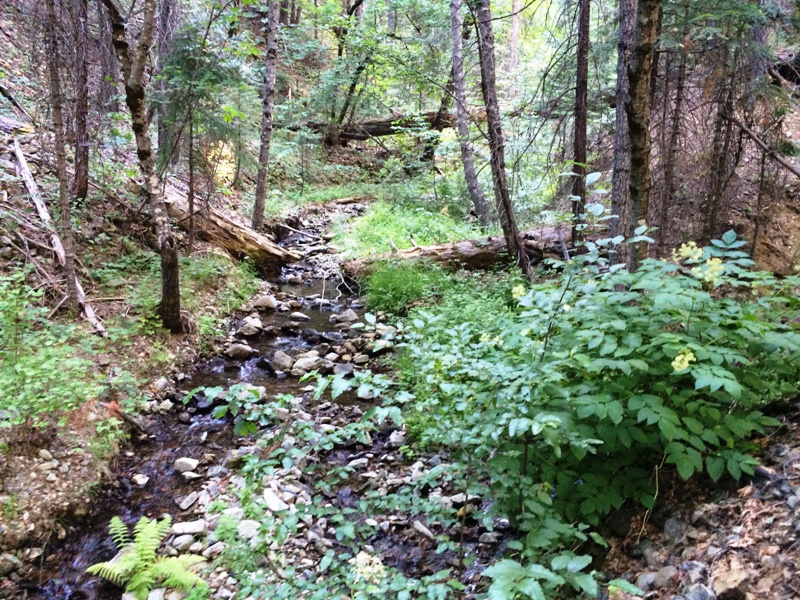
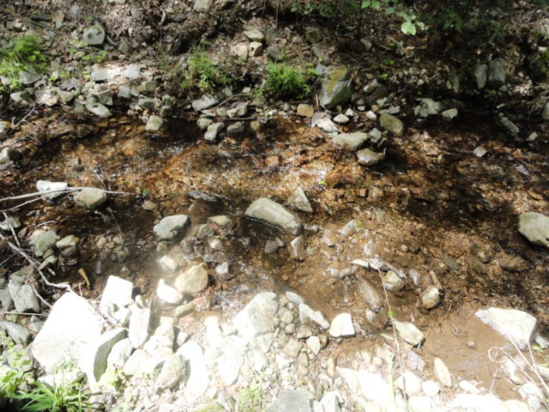
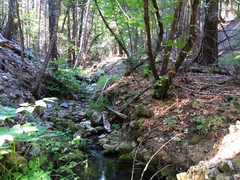
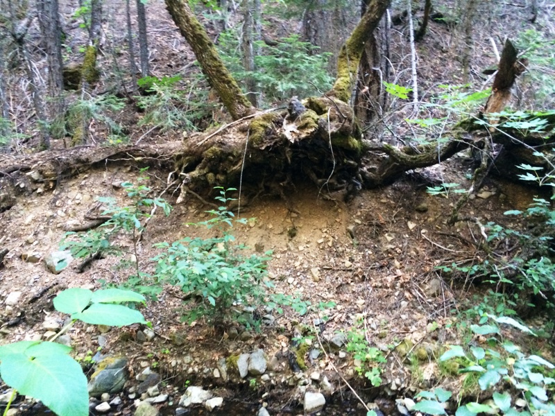
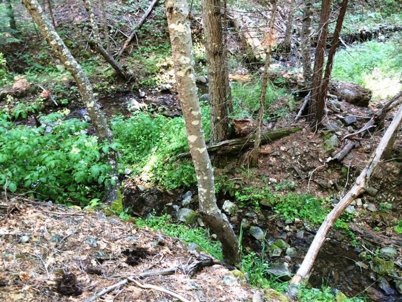
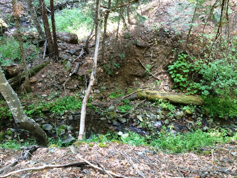
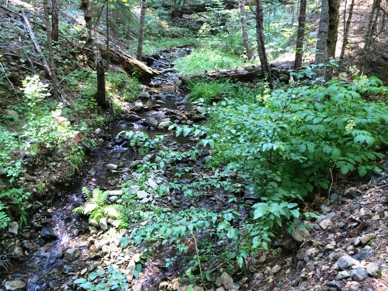
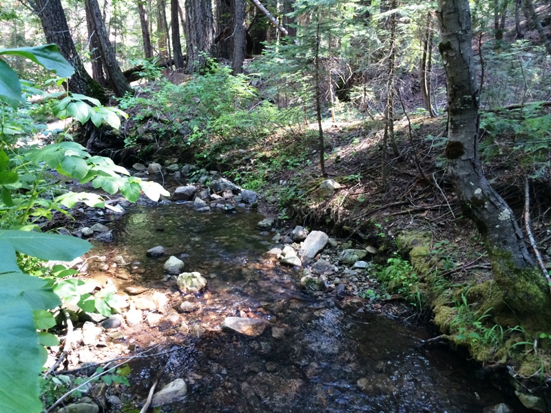
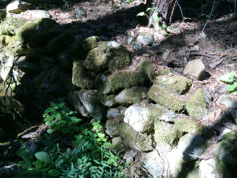
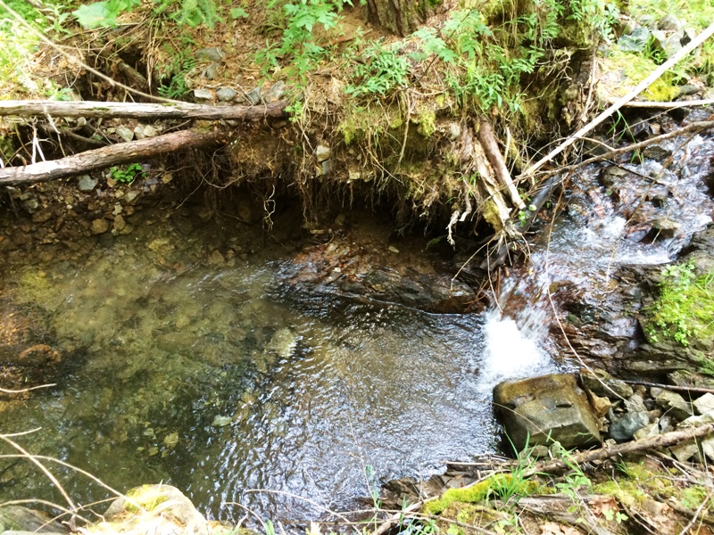
Black Panther placer claim secures the next reach south from the Black Mamba claim. It is also down drainage the main branch meets up with the north branch, therefore, water is plentiful on this claim. There are several bench deposits with abundant tailings piles, which indicate historic miners worked this portion of the creek hard. But we all know, they did not get it all and there are several gravels on bedrock still remnant. There are some stacked rock walls that are good sources of gold as well. The creek is much wider than on the Black Mamba and rocks in the channel are much larger. Some of the rocks are on bedrock, which means the bedrock gold is well protected, even in the larger flood events. The creek has many large trees that can serve as anchors for wench cables to move those big rocks. Access to the claim is good from the abandoned access road. There is a small trail that leads down a large floodplain meander where access is good both up and down drainage from there. Camp can me made down on the floodplain or up on the abandoned access road. There is a large rock outcrop one much traverse upslope around. Or one can build a footbridge over the creek for more direct access. Watch for gravels on bedrock all the way down to the Black Mongoose claim. The elevation is relatively low, roughly 4,400 ft msl, so the snow melts off early. Depending on the winter, you can begin mining on this claim in April or May. Therefore, it is an excellent claim to start early in the season, then move up in elevation to another claim as the snow melts and roads open. Miners and prospectors will have a life-time of opportunities before this claim is played out. Quincy is only a few miles away and provides good amenities, such as restaurants and accommodations. Quincy also has a modest nightlife, a movie theater, a Safeway and an Ace Hardware, as well as a series of motels and B&Bs. Sorry, no Wal-Mart. Quincy is also the county seat for the county, so you can easily file your paperwork on your way through to your claim. The National Forest Service District is also close and they are friendly and helpful. Click here Google Earth Fly To and see an aerial photo of Black Panther and the claim boundaries. Google map it for directions to claim. Estimated GPS Coordinates:
Standard Information The Black Panther placer mining claim is a non-patented federal mining claim. You will need to file appropriate annual paperwork to hold the property every year. (Ask us about our Filing Service to assist you with that!) Annual property tax assessment is approximately $1.12 an acre. BLM Fees & Advanced Geologic Transfer Fees Upon payment, the mineral claim will be transferred via a notarized Quitclaim notice filed in your name with Plumas County and the BLM. Limited payment terms and conditions are available; information available on request. Advanced Geologic has an exceptional annual claim paperwork filing system that will maintain your annual filings for any claim in the United States. Advanced Geologic reminds you that you MUST file annual notices with both the county in which the claim is located AND with the Bureau of Land Management by the appropriate dates. There are NO exceptions and errors will lead to the loss of your claim! Are your claims filed correctly? Advanced Geologic is a professional geologic consulting firm located in Chester, California. We not only sell quality mining claims, but we also help people work their claims. Our experience in resource evaluations, compliance and permitting and claim portfolio management allows our clients and buyers to go for the GOLD. Interested? Send us an email or call.
|
|
||||||||||||||||||||||||||||||||||||||||
|
|
||||||||||||||||||||||||||||||||||||||||||
|
|