|
|
| Placer Mining Claims For Sale | |||||||||||||||||||||||||||||||||||||||||||||||||||
|
Big Bear Placer
|
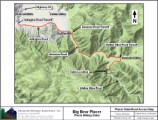
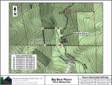
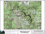
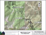
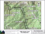
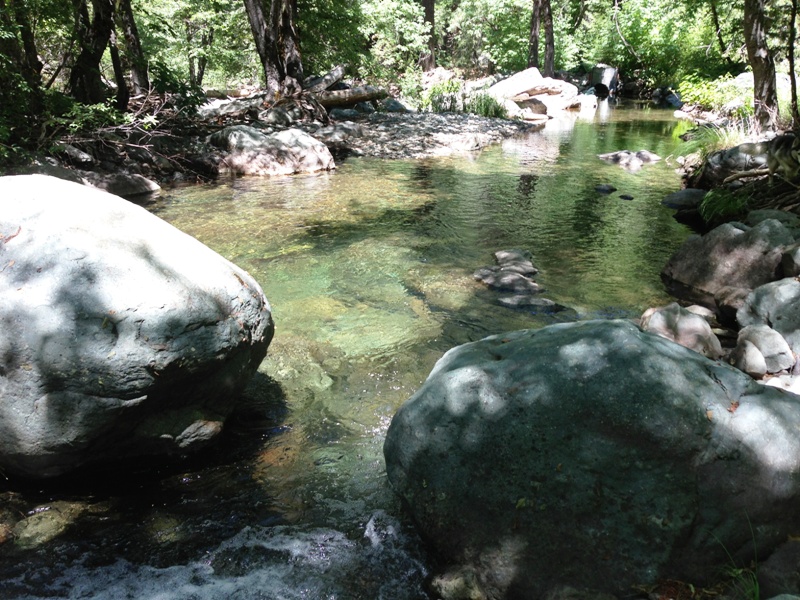
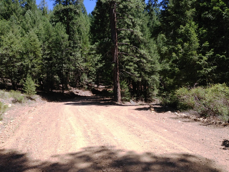
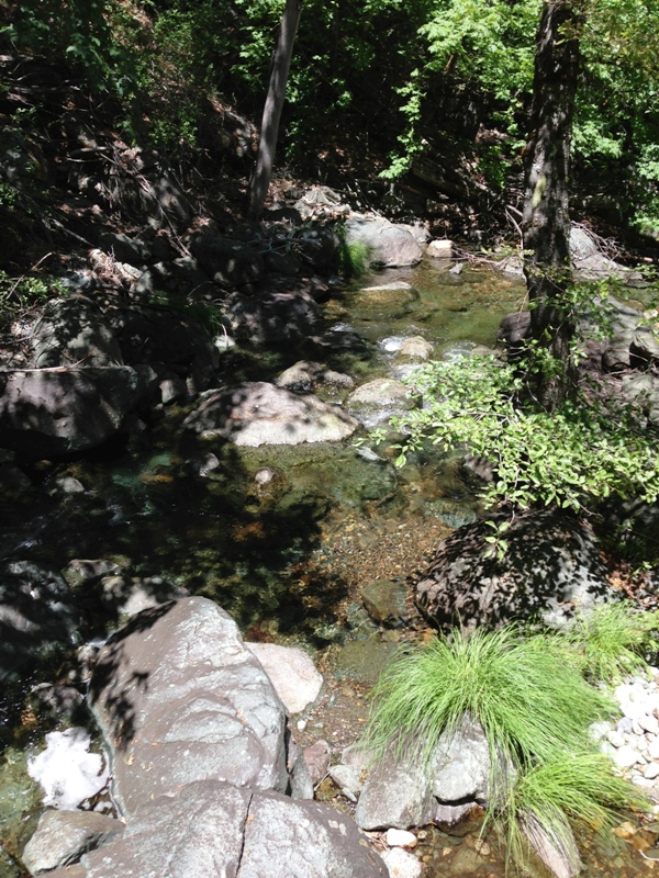
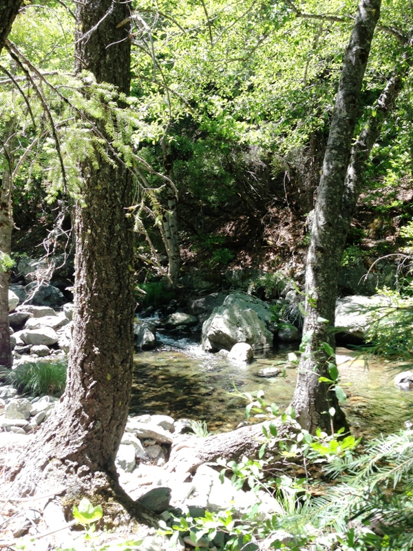
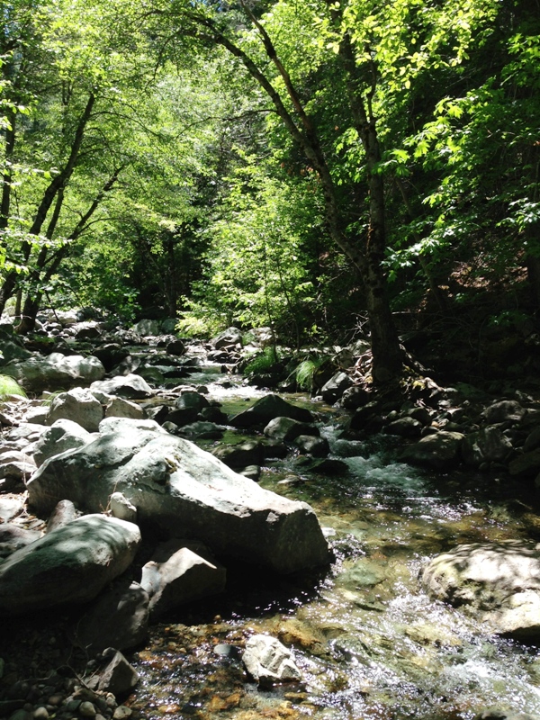
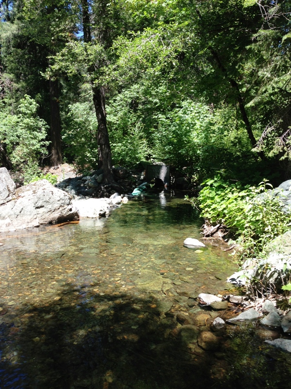
Big Bear Placer ±40 Acres Price: Pending The Tertiary gravels of the Northern Sierra are legendary for their rich pockets of gold and prospectors have sought after them ever since they were first discovered in the mid 1800s. Little Grizzly Creek and it's tributaries drain a large area of the Tertiary deposits and has given several placer miners the opportunity to say "Eureka, I found it"! Equally exciting is that Little Grizzly Creek drains the famous Walker Consolidated Mine area, a rich copper-gold deposit at the southern end of the Plumas Copper Belt. The mineralization was driven by the Little Grizzly Creek granodiorite. The ore occurred in Quartz Veins within a shear zone. Five high-grade ore bodies were mined along the shear zone for at least 7000 feet and to a depth of over 1000 feet. This one-two punch makes placer mining claims on Little Grizzly Creek one of the prime acquisitions in the northern Sierra. Prospecting skill levels for the Big Bear Placer placer claim are from beginner to advanced, trending towards the intermediate level. Numerous smaller veins radiated away from the shear zone and provided abundant placer opportunities downstream. Floodwaters have been brisk and the drainage appears to have scoured-out every so often, replenishing the gravels and the GOLD! Prospectors with metal detectors should find abundant rewards not only along the stream but along the slopes and within the cliffs. Miners and prospectors will have a life-time of opportunities before this claim is played out. Some of the amenities are:
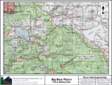
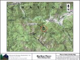
Click here Google Earth Fly To and see an aerial photo of the Big Bear Placer and the claim boundaries. Google Map It. Estimated GPS Coordinates:
Standard Information BLM Fees & Advanced Geologic Transfer Fees Upon payment, the mineral claim will be transferred via a notarized Quitclaim notice filed in your name with Plumas County and the BLM. Limited payment terms and conditions are available; information available on request. Advanced Geologic has an exceptional annual claim paperwork filing service that will maintain your annual filings for any claim in the United States. Advanced Geologic reminds you that you MUST file annual notices with both the county in which the claim is located AND with the Bureau of Land Management by the appropriate dates. There are NO exceptions and errors will lead to the loss of your claim! Are your claims filed correctly? Advanced Geologic is a professional geologic consulting firm located in Chester, California. We not only sell quality mining claims, but we also help people work their claims. Our experience in resource evaluations, compliance and permitting and claim portfolio management allows our clients and buyers to go for the GOLD. Interested? Send us an email or call.
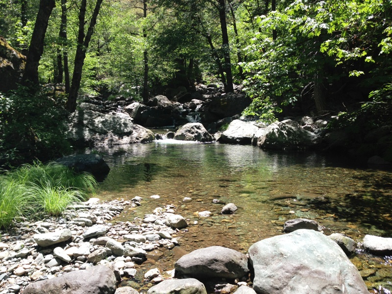
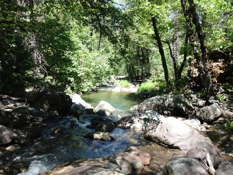
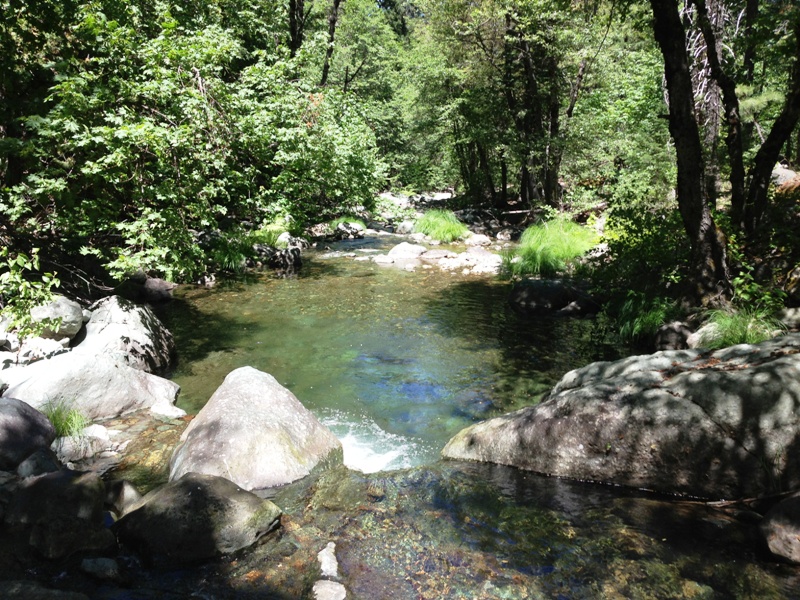
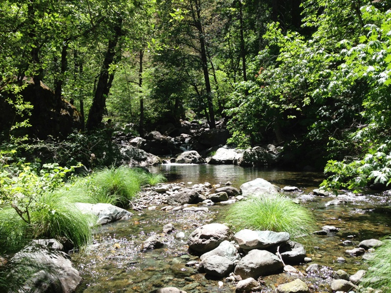
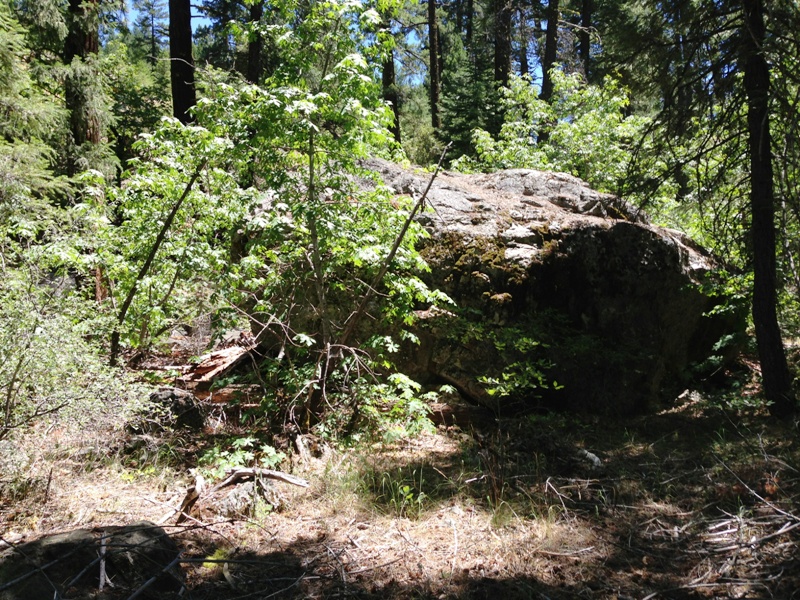
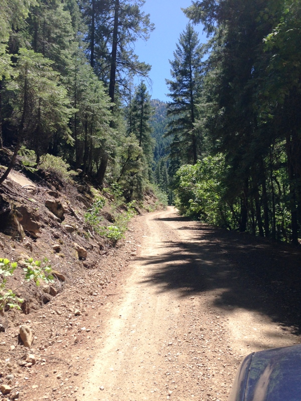
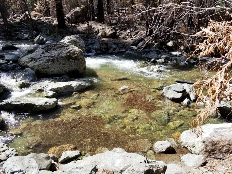
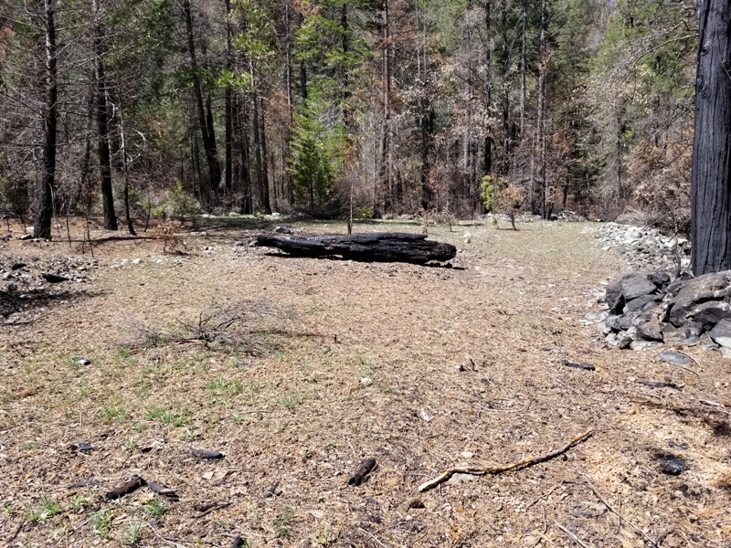
The pictures below were taken in late winter of 2021, after the single largest wildfire in the state's history. The Dixie fire devastated much of Plumas County. We plan to get more pictures soon to show the new growth in the area, the least of which will include new trees budding and ground cover taking over. We look forward to showing you the beauty that can grow out of a fire. Although these claims might be burnt out now, they will be magnificent once again within a few years. In the meantime, the area is rich for prospecting.
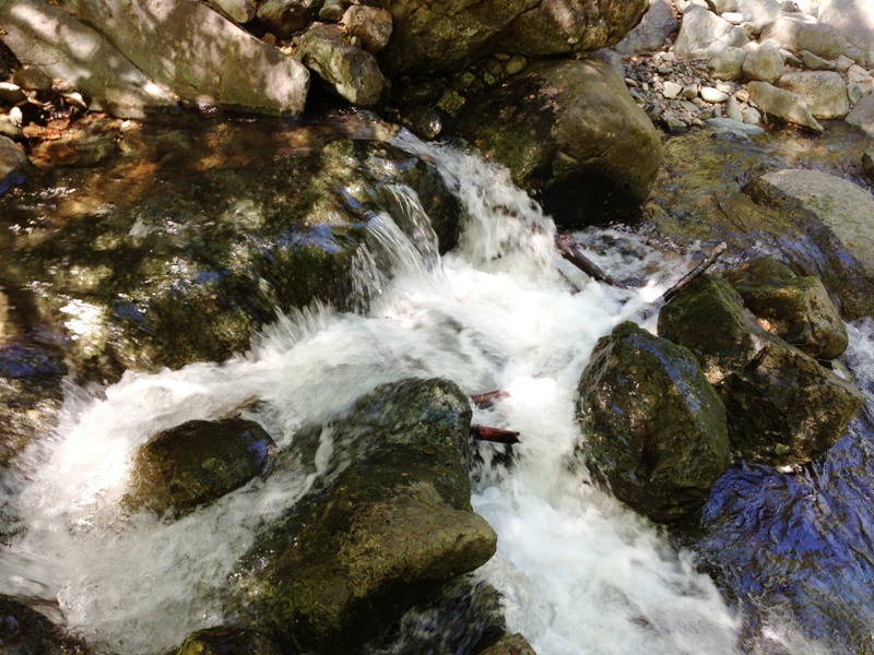
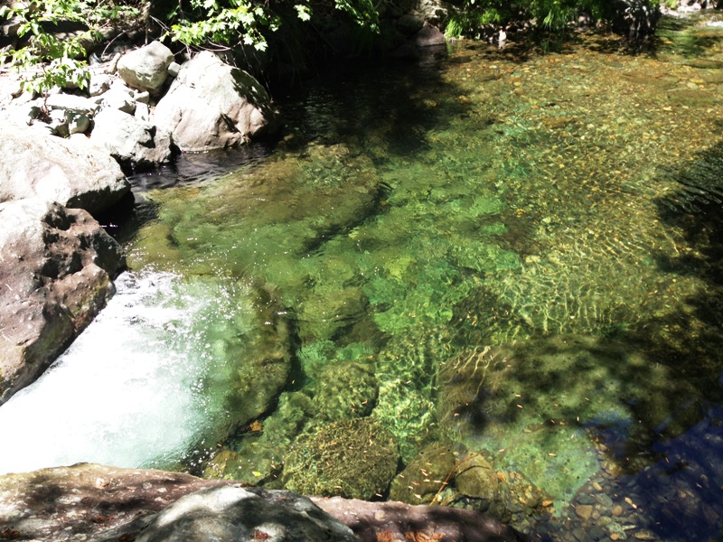
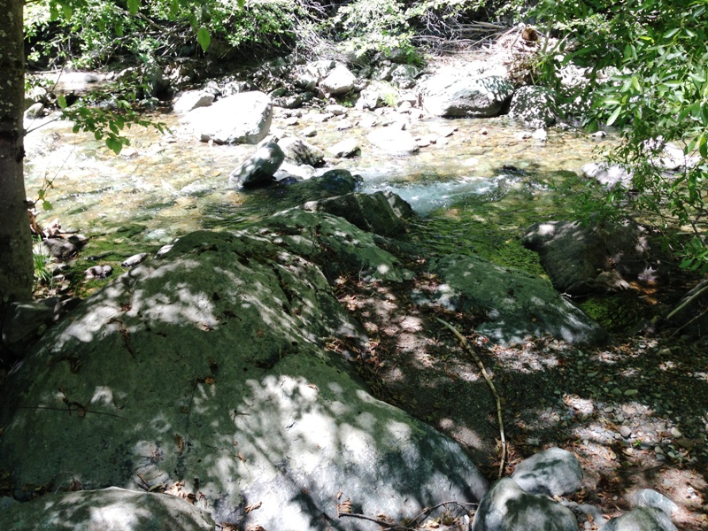
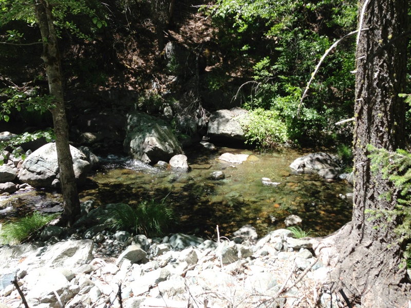
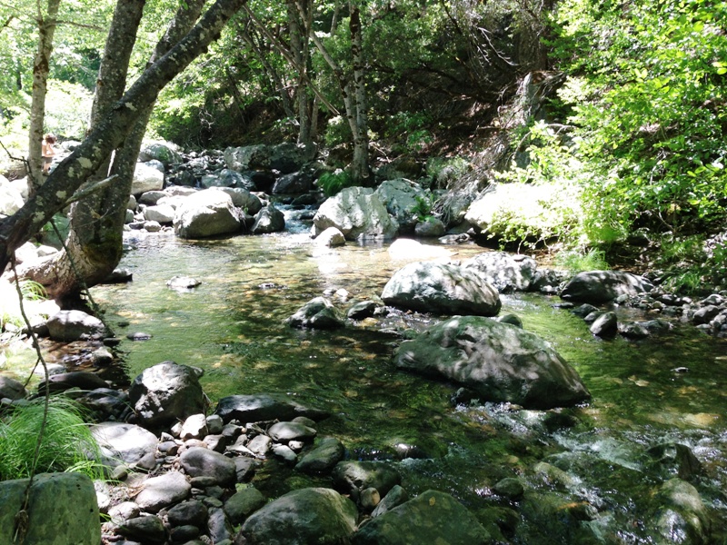
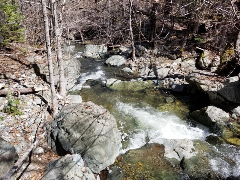
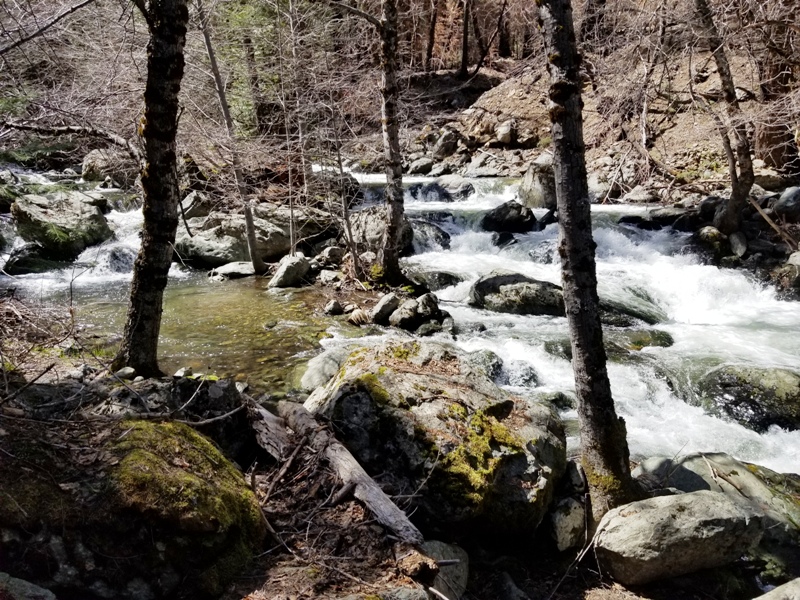
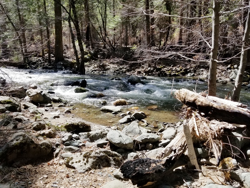
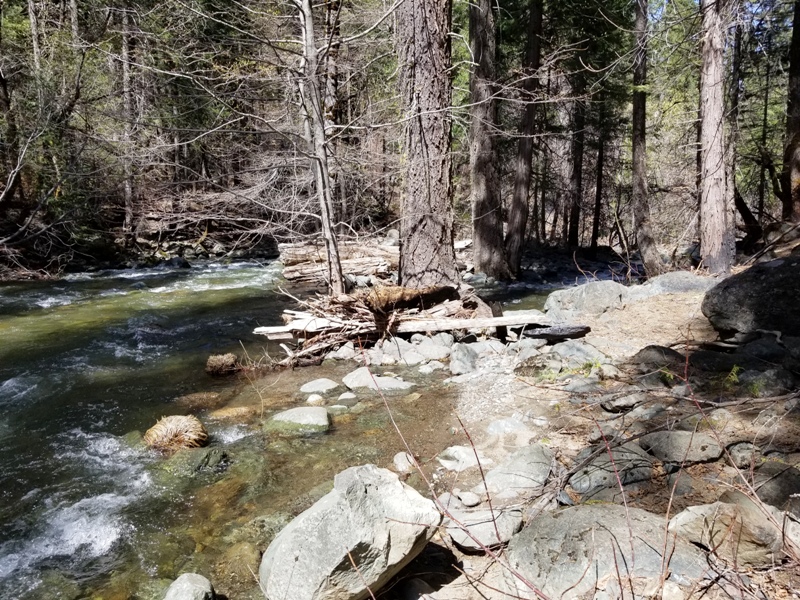
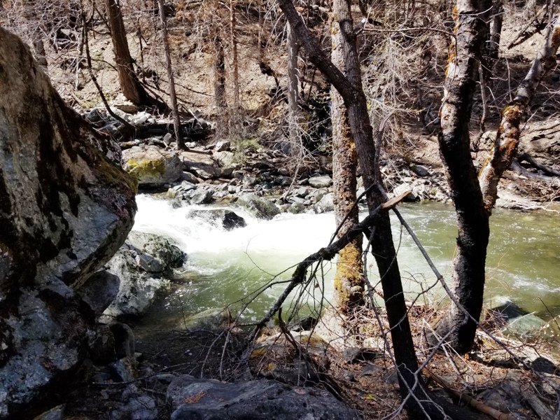
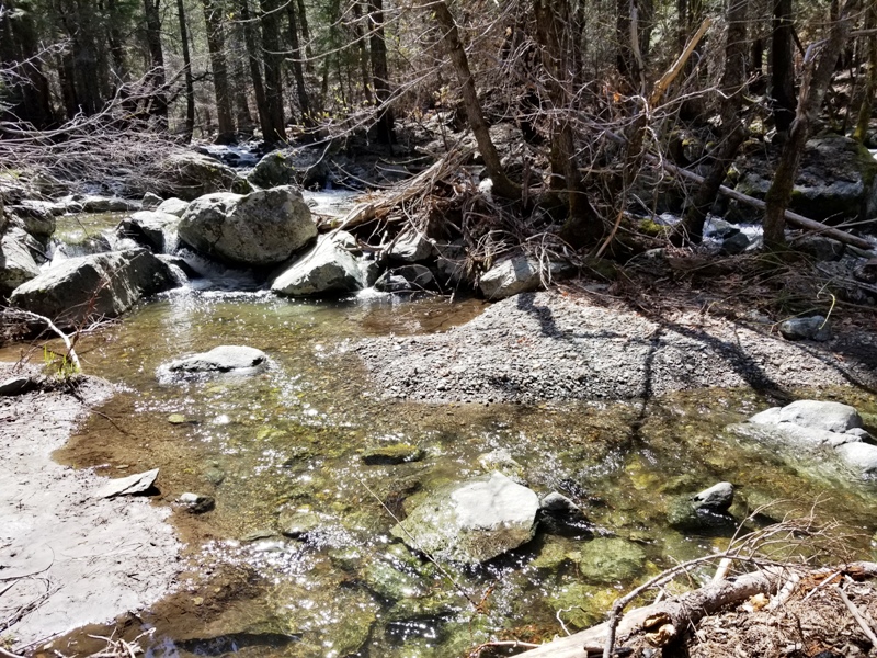
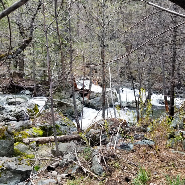
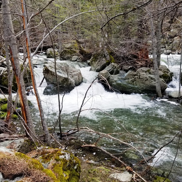
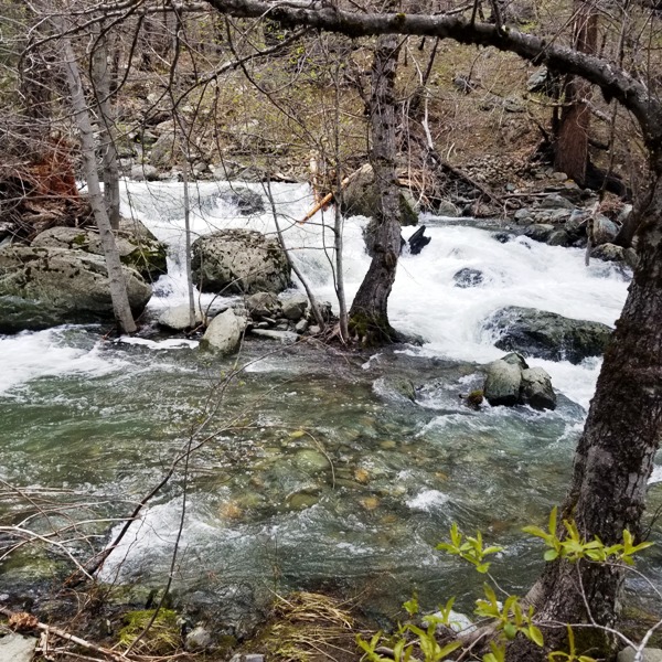
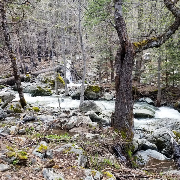
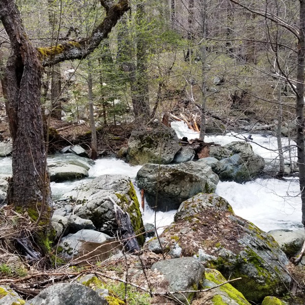
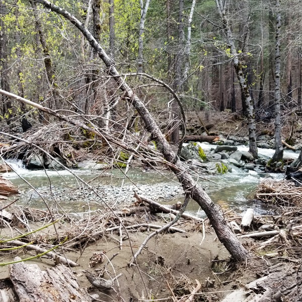
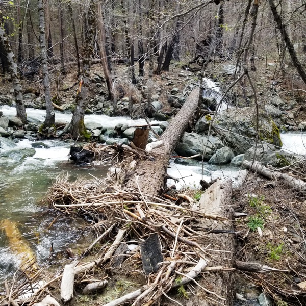
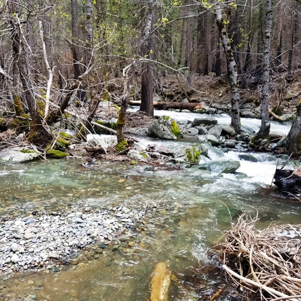
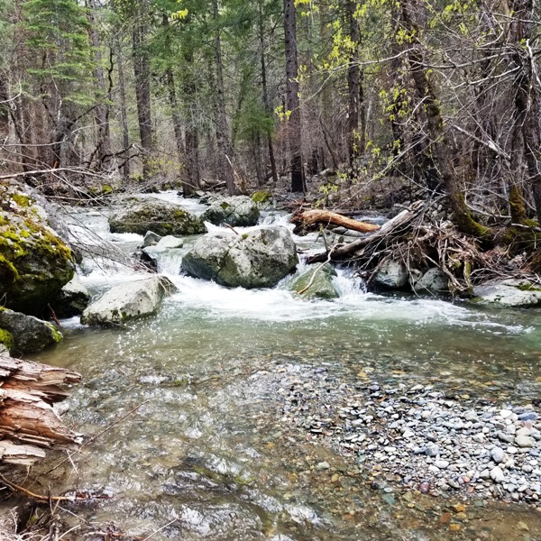
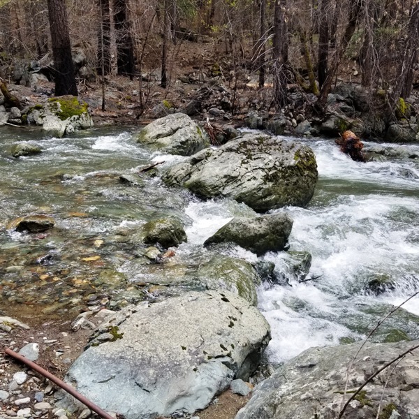
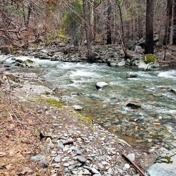
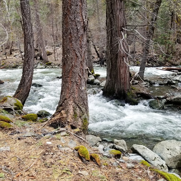
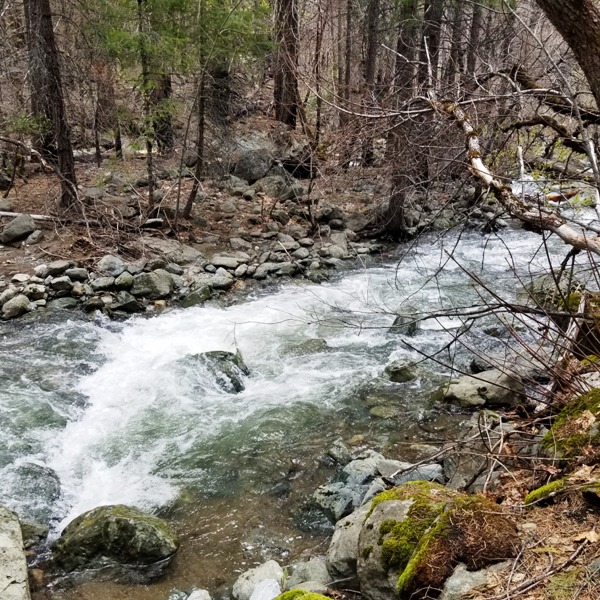
This last winter Northern California had an epic series of snow storms that left houses buried and many highways impassible. While many thought the snow fall would never end, eventually the sun came out and spring emerged. While the weather got warmer, snow melted and created heavy amounts of run off. Now the reservoirs and lakes are full and rivers and creeks are raging. This run off not only brought the water but also an abundant amount of gold from the unearthed virgin ground from the 2021 Dixie Fire. Below are pictures of Big Bear Placer right after the snow melt. This is a prime opportunity to get out there and get that gold!! Click here to view the video of Big Bear Placer.
|
|
|||||||||||||||||||||||||||||||||||||||||||||||||
|
|
|
||||||||||||||||||||||||||||||||||||||||||||||||||
|
|


.jpg)