|
|
| Placer Mining Claims For Sale | ||||||||||||||||||||||||||||||||||||||||||||||||
|
|
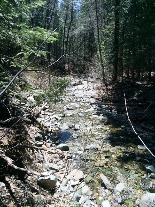
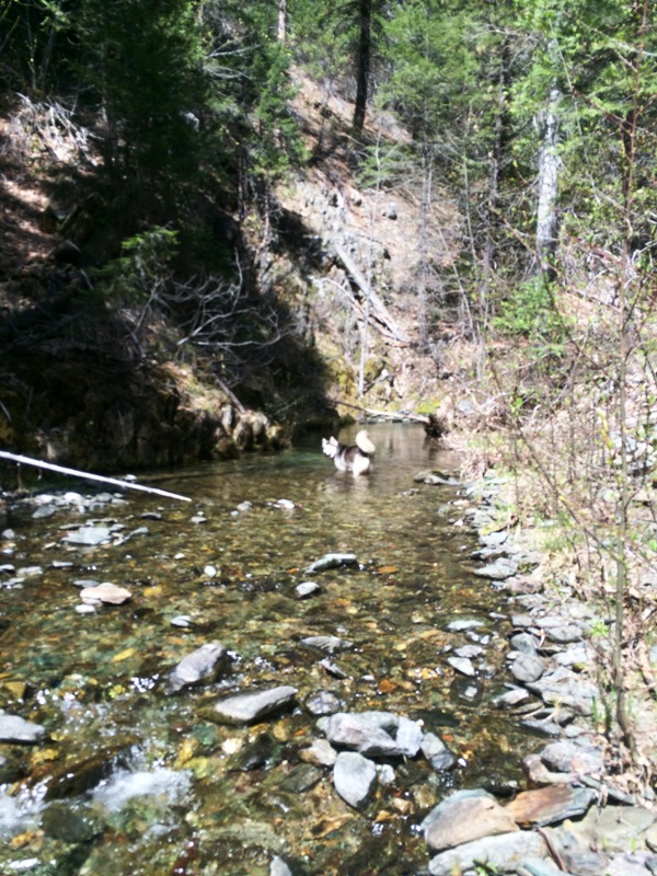
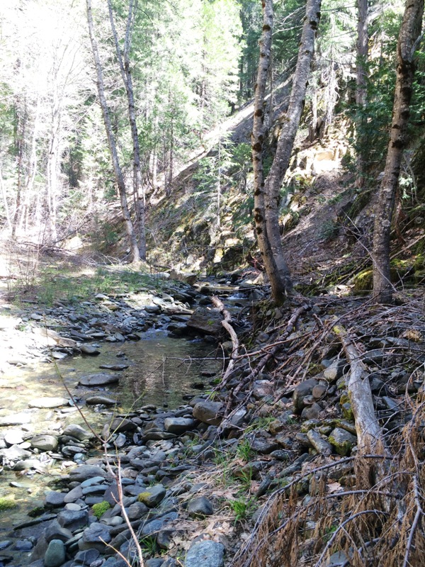
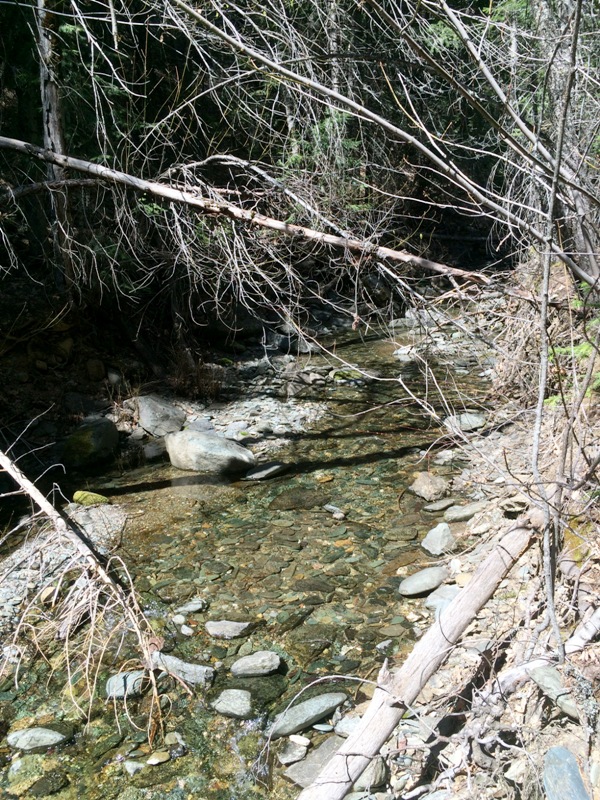
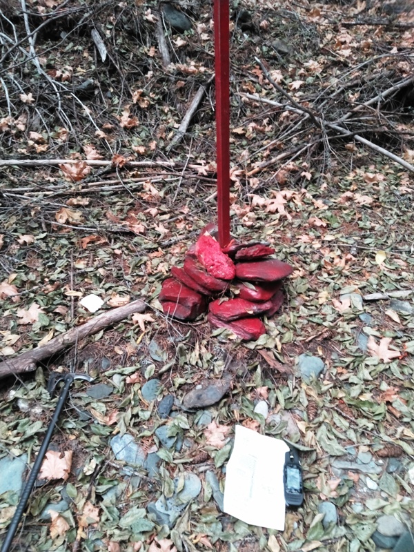
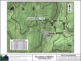
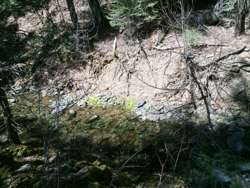
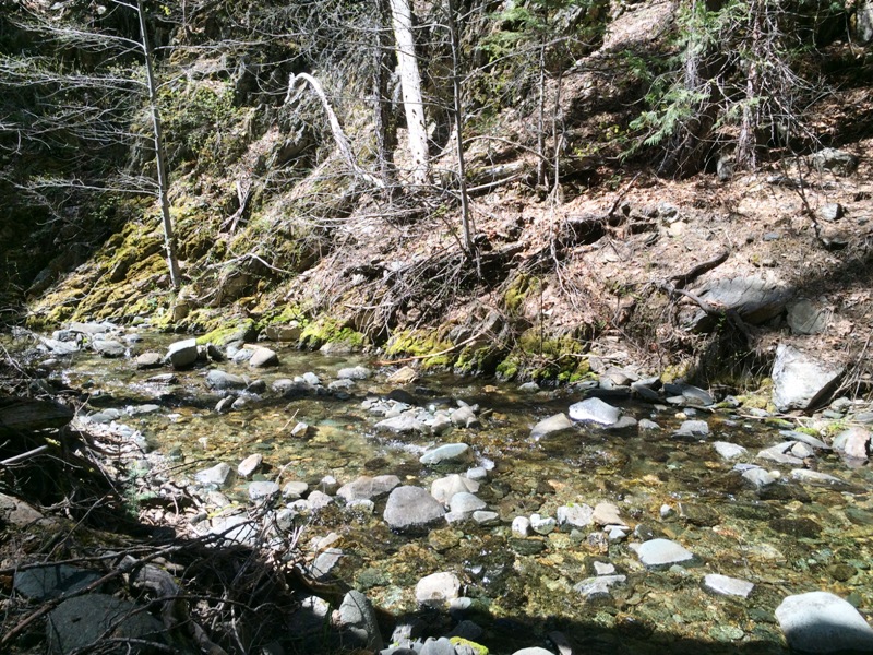
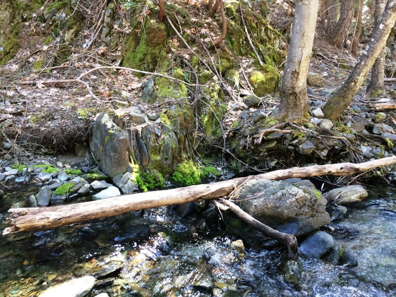
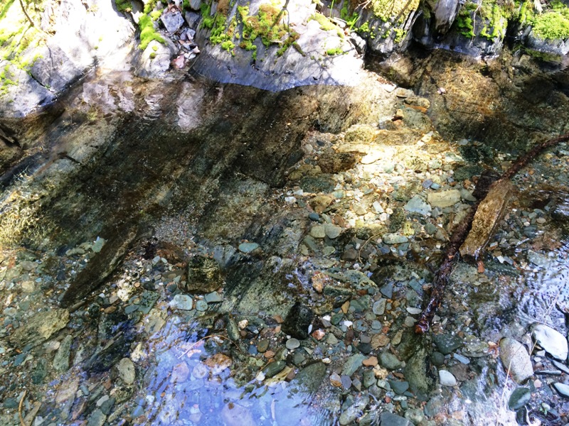
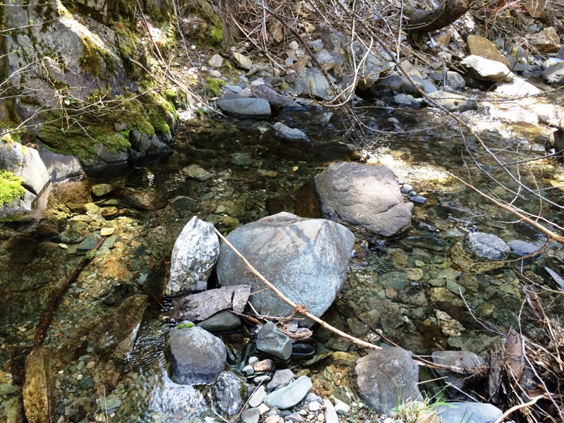
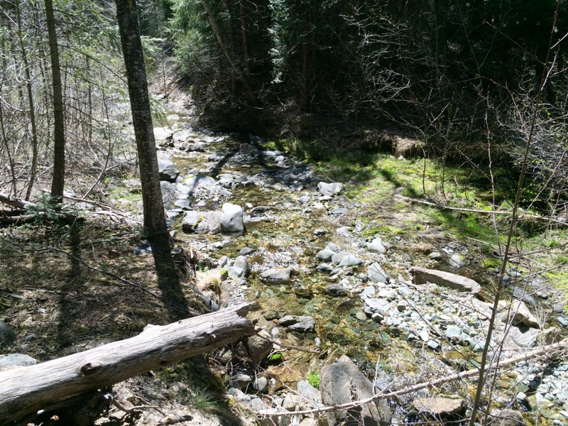
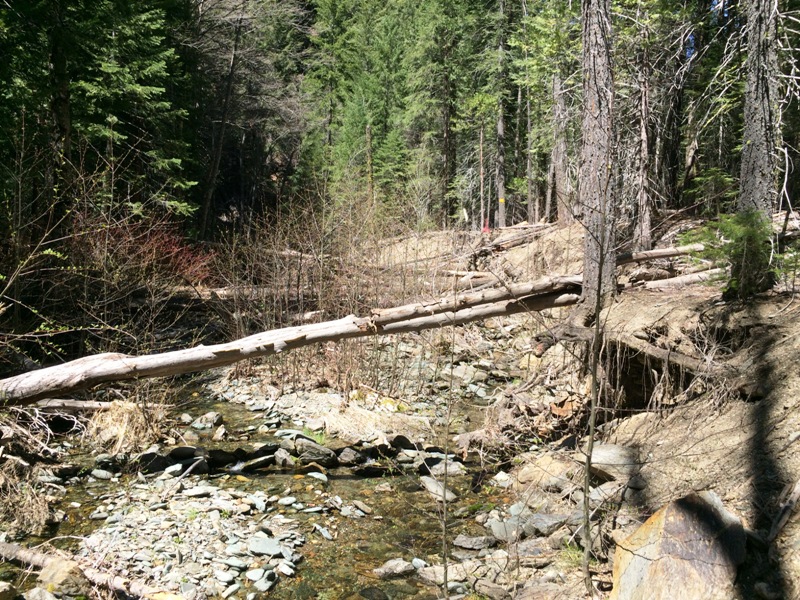
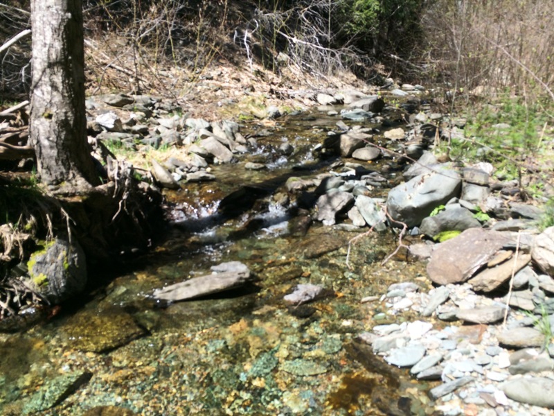
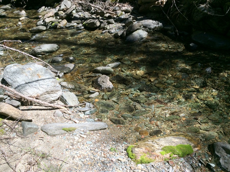
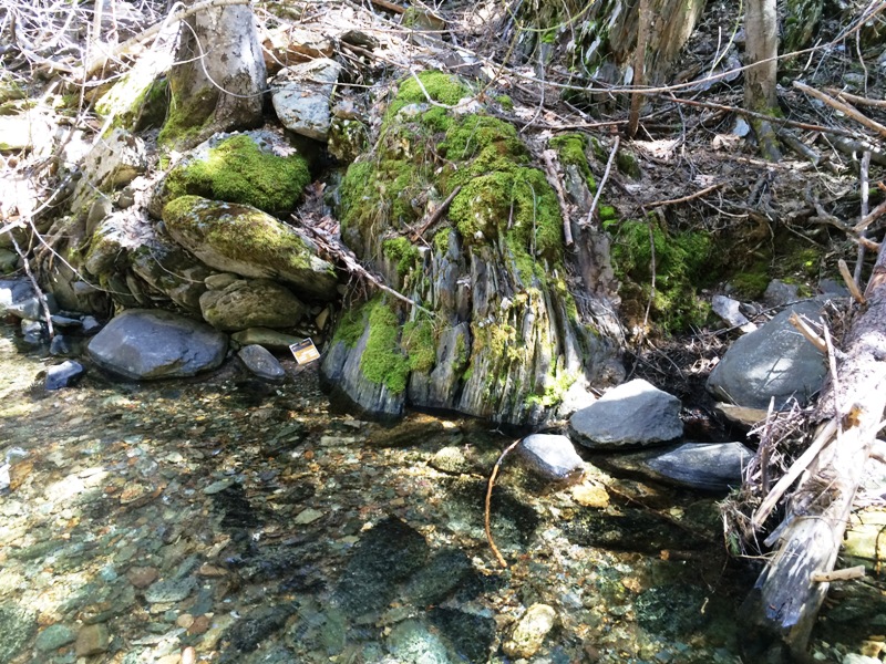
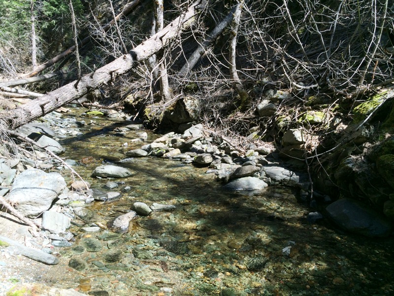
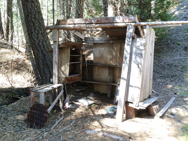
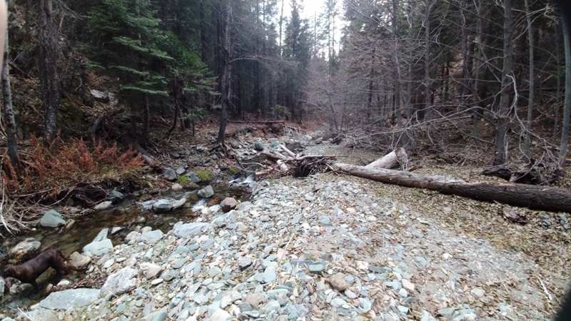
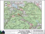
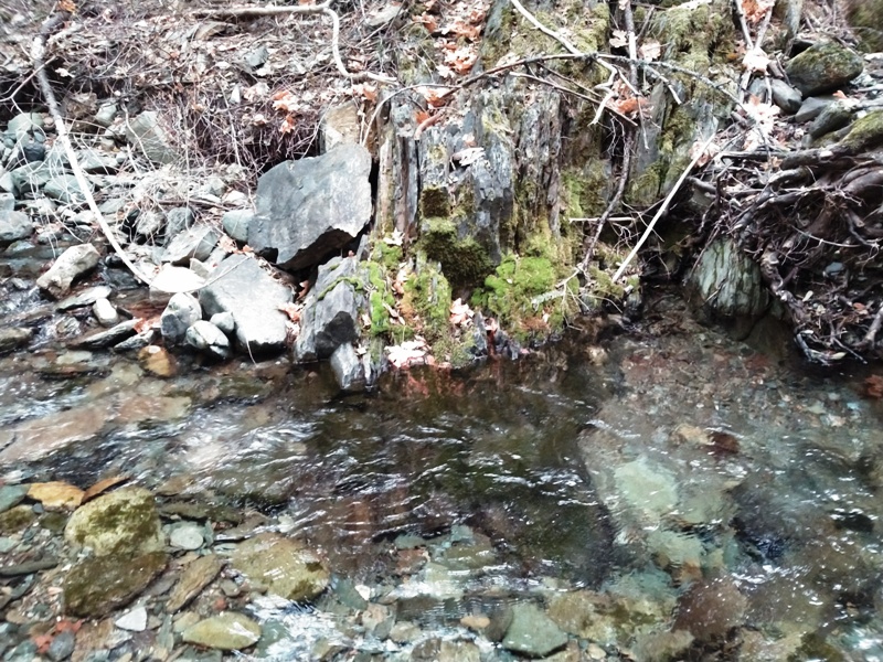
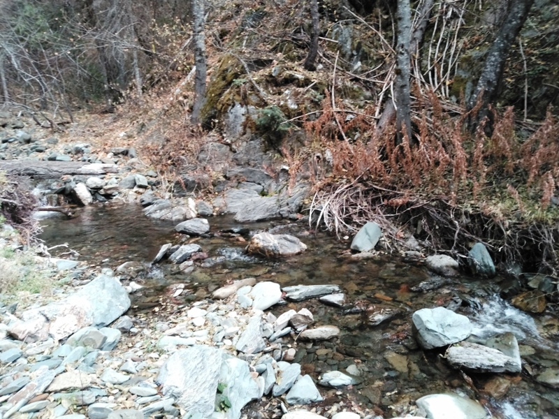
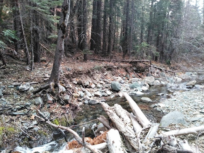
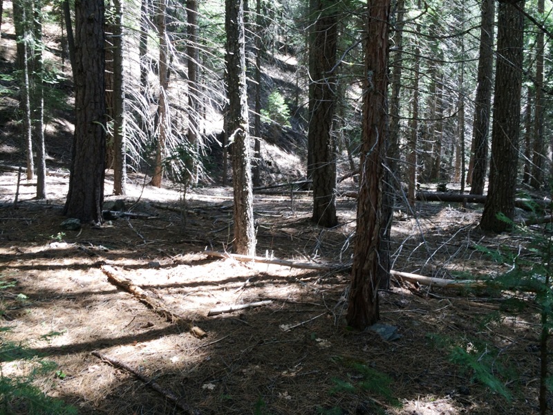
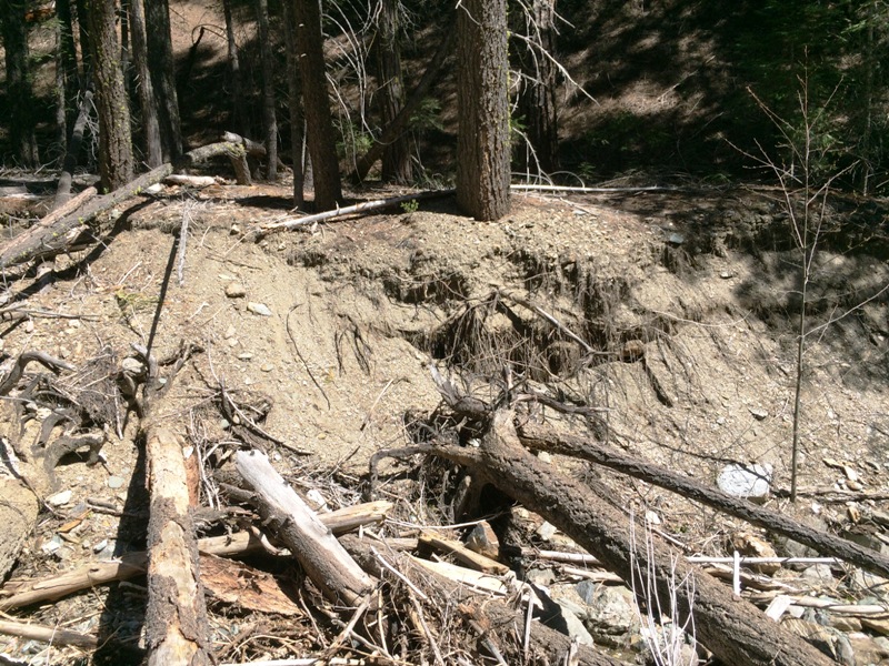
Providence Hill Extension
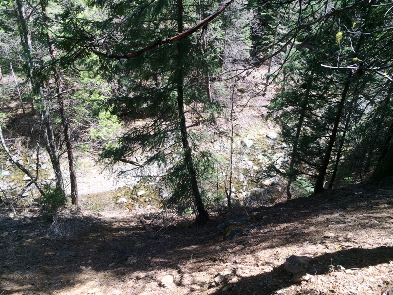
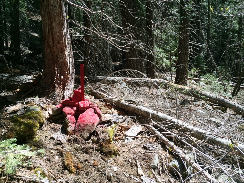
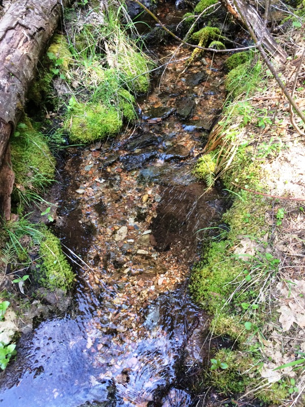
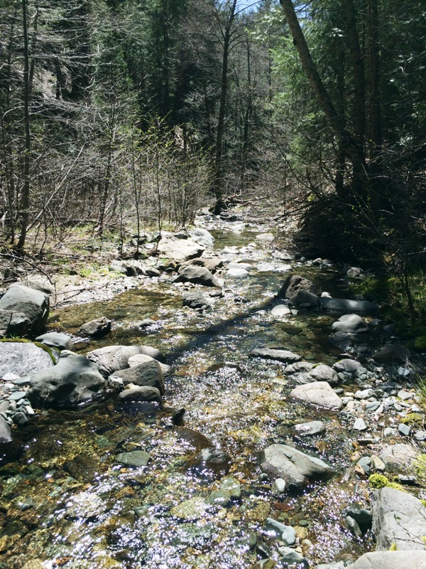
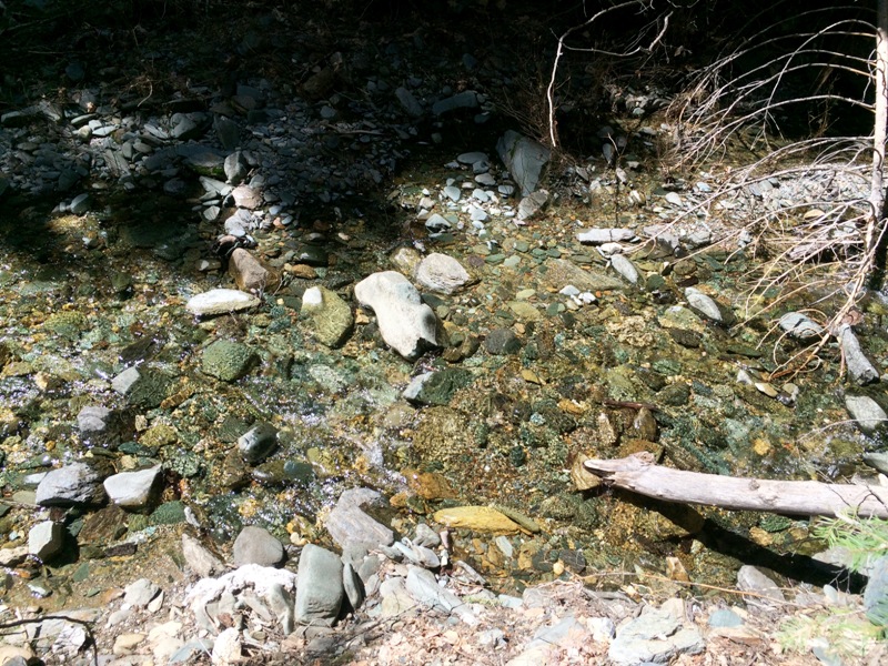
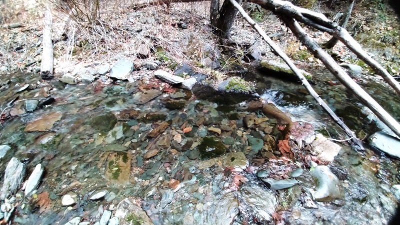
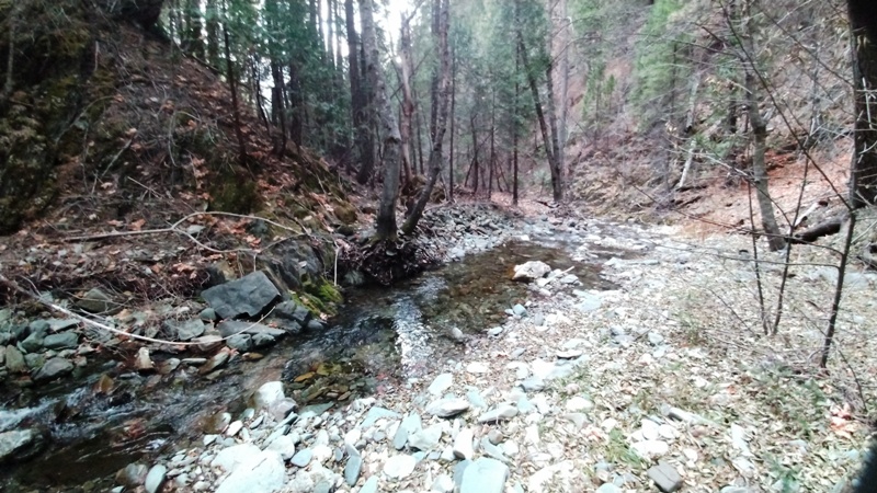
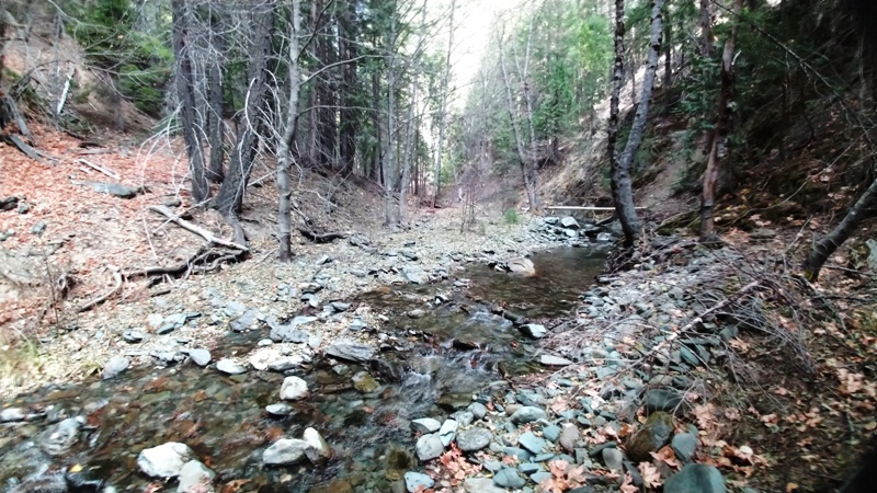
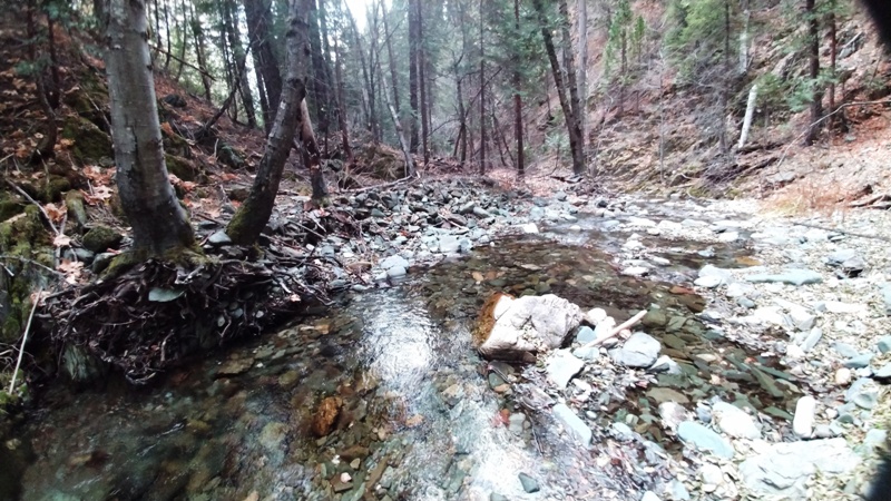
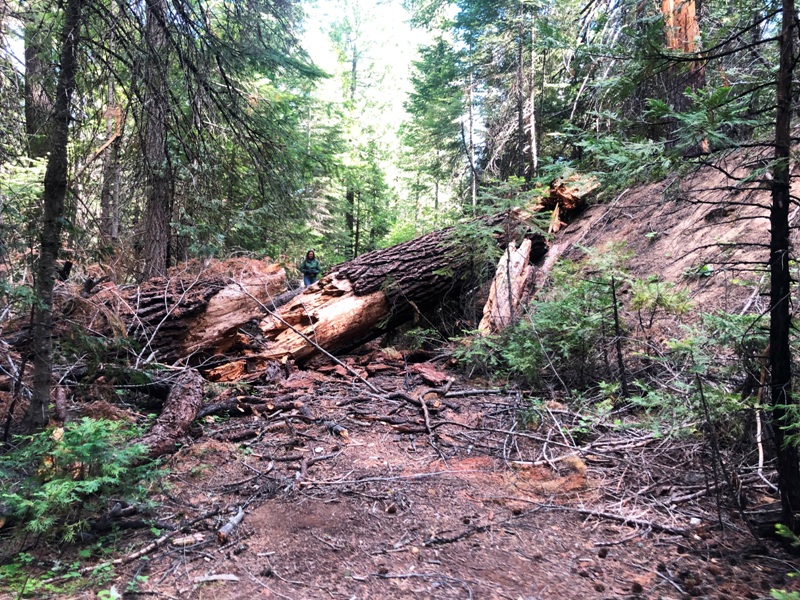
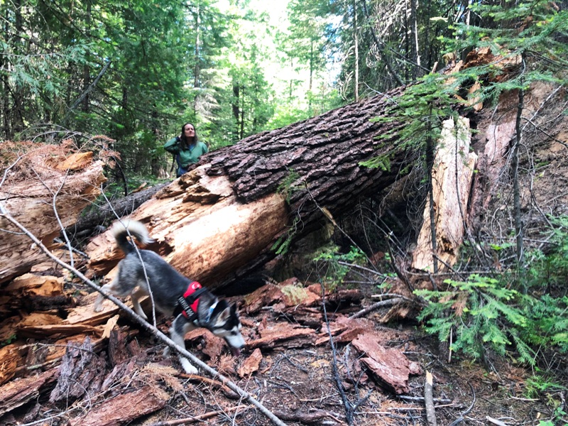
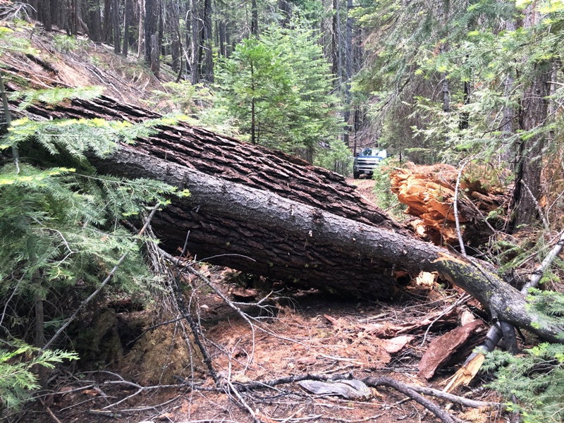
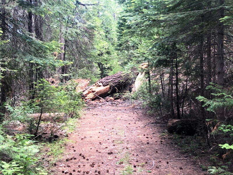
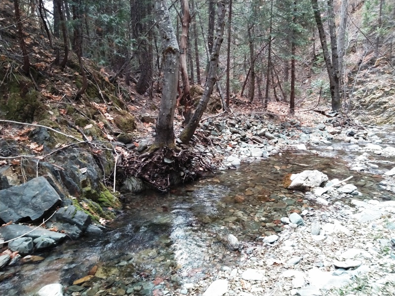
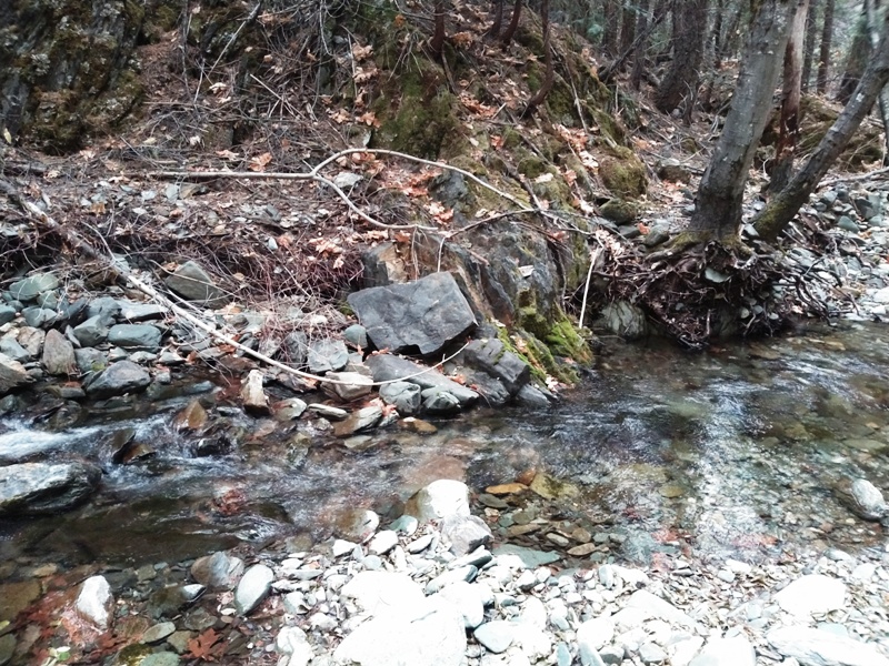
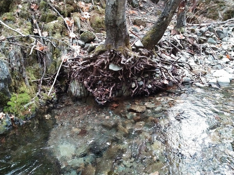
±35 Acres Price: $5,000 During the winter a large tree fell across the road blocking the access. Advanced Geologic is planning on going out in the next month to remove it but is offering $1,000 off the original price to a person willing to purchase the claim and remove the tree themself. Pictures are posted below. Location: This district is in the northwestern Plumas County. It is an extensive area that lies between Lake Almanor on the north and the Virgilia-Twain area on the south and southwest. The district includes the Caribou and Seneca areas. The Crescent Mills district lies to the south. History: During the gold rush vast amounts of placer gold were recovered from the Feather River and its tributaries. The valley was named for Horace Butts, a successful early day miner. The town of Seneca was an important center at that time. The Butt Valley Reservoir was constructed by the Great Western Power Company in 1921. Lode-gold mining, which originally began in the 1850s, continued through the 1930s . Since then there has been intermittent prospecting at a few properties such as the Sunnyside mine. Skin divers and weekend prospectors have been active along the streams. Geology: The district is underlain by a series of metamorphed sediments ranging from Silurian to Triassic in age. Slate is the most abundant, but also present are sandstone, limestone, quartzite, and conglomerates. In addition, there are greenstones and serpentine. Ore Deposits: The gold-quartz veins occur in brecciated zones in all of the formations, but they are most abundant in the slates and greenstones. The ore contains free gold and varying amounts of sulfides, including arsenopyrite. Milling ore averaged usually only a few dollars per ton, but the ore bodies were extensive. Some of the veins and vein zones are 20 or more feet thick. An appreciable number of high grade pockets were found. The placer deposits, both Tertiary and Recent in age, were extremely rich in certain areas.
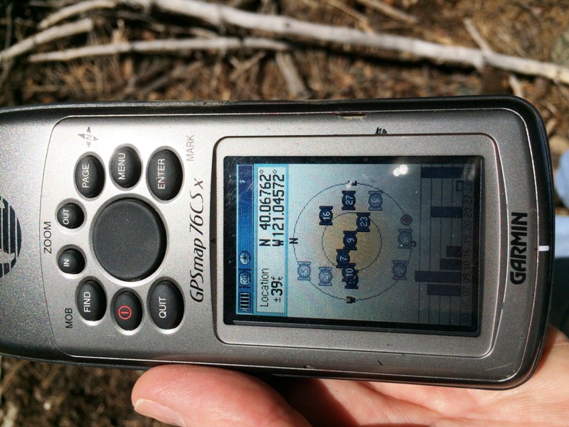
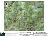
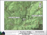
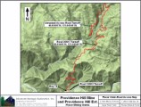
Google Earth Fly To and see an aerial photo of Providence Hill Extension and the claim boundaries. Google map it for directions to claim. Estimated GPS Coordinates: Please adjust GPS to the following Datum & Coordinate display:
Standard Information The Providence Hill Extension placer mining claim is a non-patented federal mining claim. You will need to file appropriate annual paperwork to hold the property every year. (Ask us about our Filing Service to assist you with that!) Annual property tax assessment is approximately $1.12 an acre BLM Fees & Advanced Geologic Transfer Fees Upon payment, the mineral claim will be transferred via a notarized Quitclaim notice filed in your name with Plumas County and the BLM. Limited payment terms and conditions are available; information available on request. Advanced Geologic has an exceptional automatic claim notice filing system that will maintain your annual filings for any claim in the United States. Advanced Geologic reminds you that you MUST file annual notices with both the county in which the claim is located AND with the Bureau of Land Management by the appropriate dates. There are NO exceptions and errors will lead to the loss of your claim! Are your claims filed correctly? Advanced Geologic is a professional geologic consulting firm located in Chester, California. We not only sell quality mining claims, but we also help people work their claims. Our experience in resource evaluations, compliance and permitting and claim portfolio management allows our clients and buyers to go for the GOLD. Interested? Send us an email or call.
|
|
||||||||||||||||||||||||||||||||||||||||||||||
|
|
||||||||||||||||||||||||||||||||||||||||||||||||
|
|
.jpg)